
Eastern
Delchevo
Делчево
- Residents · 2021 census
- 9,644
- Old photographs
- 2
- Photographs
- 19
A welcoming eastern town beside the Bregalnica
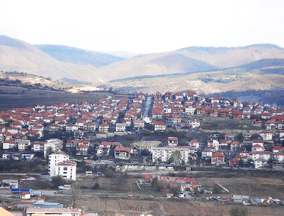
Delchevo follows the Bregalnica through the Pijanec basin, only ten kilometres from the eastern border crossing toward Bulgaria. Golak rises immediately west of town, while orchards, fields and villages spread along the river terraces at roughly 570–650 metres above sea level.
Overview
City overview
Meet Delchevo.
A grounded introduction to the city, its landscape, people, history and wider municipality.
Delchevo follows the Bregalnica through the Pijanec basin, only ten kilometres from the eastern border crossing toward Bulgaria. Golak rises immediately west of town, while orchards, fields and villages spread along the river terraces at roughly 570–650 metres above sea level.
The settlement was long known as Carevo Selo and served as a market for Pijanec under Ottoman rule. In 1950 it was renamed Delchevo in honour of Goce Delchev—an act of commemoration, not a claim that he was born there—and post-war roads, schools and industry strengthened its role as the basin’s centre.
The 2021 census counted 13,585 people in the municipality, including 9,644 in the town. Although emigration has reduced the population, family return, the market, football, music and village gatherings continue to give the place a sociable eastern-Macedonian rhythm.
Twenty-one villages complete the municipality. Razlovci carries the memory of the 1876 uprising; Dramche and Trabotivishte guard Kopachkata; Dzvegor stands near a protected geological profile; and high, small settlements such as Bigla, Vetren and Selnik show the quieter mountain side of Pijanec.
At a glance
Useful facts, in one place.
Settlement and municipality figures are kept distinct wherever sources permit.
- Municipality
- Delchevo Municipality
- City population
- 9,644
- Municipality population
- 13,585
- Population year
- 2021
- Municipal area
- 422.4 km²
- Elevation
- 610 m
- Elevation range
- 570–650 m
- Approx. road distance from Skopje
- 170 km
- Postal code
- 2320
- Climate
- Continental Pijanec-basin climate with mountain influence
- Sports teams
- FK Bregalnica Delchevo
- Culture
-
- Kopachkata links music, dance and village social memory in Dramche and Trabotivishte.
- The Razlovci Uprising is a defining historical reference for the entire Pijanec region.
- Golak and the Bregalnica give the municipality a culture of mountain excursions, orchards and riverside farming.
- Population snapshot
- 9,644 city residents and 13,585 municipality residents in the 2021 census; 3,941 lived outside the city settlement.
- Approx. distance from the Bulgarian border
- 10 km
Known for
The city's signature.
Landmarks, foods, landscapes and traditions that give Delchevo its character.
- The Bregalnica River and the Pijanec basin
- Golak Mountain and its walking landscapes
- Earth pyramids and other erosion formations nearby
- Its role as an eastern border and market town
Geography
Geography
Land shapes the city.
Terrain, waterways, climate and transport explain why Delchevo grew where it did.
Delchevo stands on the Bregalnica River in the Pijanec basin, near North Macedonia's eastern border with Bulgaria. The Golak massif rises immediately to the west, while lower hills and river terraces open toward the Arnautski Grob border crossing, about ten kilometres from the town. The town's elevation and enclosed valley position produce warm summers, cold winters and clear seasonal contrasts.
The Bregalnica ties Delchevo to the wider eastern part of the country, while roads link it with Kočani, Berovo and Pehčevo. Golak provides the town's closest mountain recreation, and unusual earth pillars formed by erosion can be found in the surrounding Pijanec landscape. Orchards, livestock, forestry and small farms remain visible just beyond the urban edge.
History
History
A concise, rewritten account.
Written afresh from cross-checked municipal, archaeological, heritage and institutional sources—not copied website text.
Local tradition connects an earlier settlement here with the Byzantine name Vasilevo. Written and oral sources later refer to the place as Carevo Selo—'Tsar's Village'—the name by which it was known through the Ottoman period and into the twentieth century. Its location beside the Bregalnica and on routes toward the east helped it serve the dispersed villages of Pijanec as a market and craft centre.
The end of Ottoman rule brought war, new borders and changes in population across the region. Carevo Selo became part of the Kingdom of Serbia in 1912 and later Yugoslavia. In 1950 the town was renamed Delchevo in honour of the revolutionary Goce Delchev; the name marks commemoration rather than his birthplace.
Post-war investment expanded Delchevo's administrative role and brought new housing, schools and industry. The town today remains the centre of Pijanec and an eastern gateway, with much of its identity grounded in the Bregalnica valley, the Golak landscape and links to neighbouring Bulgaria.
The preserved legacy narrative
Open the preserved legacy narrative
The Pijanec area has a rich archaeological record. The inherited account mentions Neolithic remains around Gabrovo, Dramche, Dzvegor and Grad, as well as Hallstatt-period finds around Bigla, Dramche and Delchevo. It describes a Roman road running toward Osogovo along the right bank of the Bregalnica, past Trabotivishte and through Maleševo toward Thessaloniki. Another important route is said to have linked the Roman city of Astibo—modern Štip—with Pautalia—modern Kyustendil—by way of Vinica and Bigla, crossing the Bregalnica near Ochipala and continuing through the Kidelica and Crna Skala localities. This network ultimately connected with the Via Egnatia between Dyrrachium and Thessaloniki.
Numerous remains from Roman antiquity have been found at Dzvegor, Grad, Iliovo and other localities. The principal settlement identified in the legacy text lies at the village of Grad, while several sites in the district show a long continuity of occupation. More recent study of Grad is said to document a settlement spanning the late classical and medieval periods.
Several explanations have been offered for the name Pijanec, which resembles the Macedonian word for a drunk person. One folk etymology connects it with the district’s plum growing and the production and drinking of rakija. Another invokes a plant also called pijanec, described as hallucinogenic and said to have grown among wheat, so that flour contaminated with it made people drowsy. More scholarly suggestions connect the name with the ancient Paeonians or with a medieval town bearing a similar name, but the inherited account notes that these explanations remain unconfirmed.
An obscure source described as the Charter of “Vasilie Pijanec the Second” is said to mention Pijanec as territory joined to Byzantium and belonging to the bishop of Morodvis. The district later came under Bulgarian authority, then briefly under the medieval Serbian state, and after the Ottoman conquest of the Balkans became part of the Kyustendil administrative region. The title and identification of the cited charter are unclear in the legacy text and require verification.
The inherited account identifies Vasilevo as the most densely populated place in Byzantine-period Pijanec and says it was named for a Byzantine emperor called Basil. It states that Vasilevo first appears in one of Tsar Dušan’s charters of 1347–1350 as a village in Pijanec with churches dedicated to Saint Nicholas and the Mother of God beside the Bregalnica. According to the same narrative, a severe earthquake in 1904 destroyed Vasilevo, after which its inhabitants settled Gorna Maala on the hill opposite the mouth of the Gabrovica and built a new Vasilevo and a Church of the Mother of God, today’s city church. This late use of the name Vasilevo sits uneasily beside the text’s own account of Carevo Selo and should be checked against local primary sources.
Turkish residents settled the area called Sredno Maalo, while Vasilevo was known for livestock and plums. Because it stood on a central route toward the Struma, Sultan Mehmed IV is said to have visited in 1671 and ordered a mosque for the Turkish community in Sredno Maalo. The legacy narrative further claims that the sultan’s visit accelerated conversion among the Macedonian population and that Muslim immigration rapidly increased the number of inhabitants. It then says the settlement was named Vasilevo—interpreted as “place of the sultan”—in gratitude for the visit and mosque. These conversion and naming claims are broad, internally inconsistent with the earlier etymology, and require independent historical evidence.
During the eighteenth and nineteenth centuries, Carevo Selo—“Tsar’s Village”—was a rural settlement inhabited by Turks, Macedonians and Torbeši, the last described by the inherited account as its largest population group. By the middle of the nineteenth century, Macedonian artisans settled Gorno Maalo along what the text calls the Struma valley and established the bazaar. Dolno Maalo was inhabited by Vlach livestock breeders from western Macedonia, who drove their sheep to pasture on Golak. A large number of Muslim refugees or muhacirs, called Madžiri in the text and arriving from northern Bulgaria, also settled in Dolno Maalo, giving part of it the name Madžir Maalo. The reference to the Struma appears geographically imprecise for the town and may describe a wider route rather than the local river system.
After Bulgaria’s liberation, Macedonian families from the Kyustendil area—mainly merchants, artisans and farmers—moved to Carevo Selo. The settlement then had 1,610 inhabitants and began to resemble a small town with a market and bazaar. By the end of the nineteenth century, the inherited account records 220 Turkish and 80 Macedonian houses, with agriculture as the principal livelihood. The new border with Bulgaria after the Balkan Wars slowed development, although Carevo Selo became a county seat and the main economic centre of Pijanec. Between the two world wars its population grew at a moderate rate and the settlement expanded on the right bank of the Bregalnica.
After the Second World War and the establishment of a new socialist order, Carevo Selo changed its name for what the legacy text calls the fourth time on 1 May 1950. Since then it has borne the name of the revolutionary and ideologue Goce Delchev.
The country’s post-war economic expansion encouraged industrial development, which gradually displaced many traditional crafts. Delchevo acquired broad paved streets and boulevards, sewerage and water-supply systems, parks and planted public space, giving the former market settlement its present urban form.
Profile sources (20)
- macedonia-timeless.com/ita/citteregioni/citt/delchevo
- delcevo.gov.mk
- en.wikipedia.org/wiki/Del%C4%8Devo
- stat.gov.mk/pdf/2022/2.1.22.10Popis-mk-en.pdf
- stat.gov.mk/Opstininm.aspx?mbop=1325
- citypopulation.de/en/northmacedonia/istocen/del%C4%8Devo/404560__del%C4%8Devo
- citypopulation.de/en/northmacedonia/istocen/303__del%C4%8Devo
- delcevo.gov.mk/infrastruktura
- delcevo.gov.mk/istorija
- ich.unesco.org/en/RL/kopachkata-a-social-dance-from-the-village-of-dramche-pijanec-00995
- delcevo.gov.mk/en/verski-objekti
- delcevo.gov.mk/kulturno-istoriski-spomeniczi-vo-opshtina-delchevo
- en.wikipedia.org/wiki/Vlatko_Stojanovski
- macedonianfootball.com/this-day-in-history/1978-08-09
- synthesis.com.mk/en/portraits-goce-uzunski
- delcevo.gov.mk/novosti/27189
- sobranie.mk/social-democratic-union-of-macedonia-3267e351-1ef1-4bca-abfc-8b8bead97c4a-ns_article-mirko-ivanov-94-_.nspx
- fi.utms.edu.mk/media/attachments/2026/03/02/orce-simov-cv.pdf
- if.pmf.ukim.edu.mk/files/Attachment/Monografija.pdf
- makstat.stat.gov.mk/PXWeb/pxweb/en/MakStat/MakStat__Popisi__Popis2021__NaselenieVkupno__PodatociNaselenie/T1501P21.px
Interesting Facts
Interesting facts
Details worth remembering.
Local landmarks, customs, foods and historical details that reward a closer look at Delchevo.
-
Carevo Selo became Delchevo in 1950
The town received its present name in honour of revolutionary Goce Delchev; he was the namesake, not a native son.
-
A Roman route crossed Pijanec
Municipal history places the basin on an ancient route connecting Astibo with Pautalia, showing the valley’s long transport role.
-
Kopachkata is UNESCO-listed living heritage
The social dance from Dramche is performed by male dancers in a semicircle and is transmitted through village community practice.
-
Dzvegor preserves a geological rarity
The protected Dzvegor profile exposes an unusual sequence of rocks and sediments recognized as a natural rarity.
-
Kiselica adds karst to eastern Macedonia
The Kiselica cave is an uncommon local karst feature in a region better known for river basins and crystalline mountains.
-
Razlovci ignited an uprising in 1876
The Razlovci Uprising began in the village and spread through the Maleševo–Pijanec region, becoming a central local historical memory.
-
The oldest town building is associated with 1448
The municipality identifies the Sultan Mehmed Fatih II mosque as Delchevo’s oldest building, while noting that it has been rebuilt over time.
-
Closer to the border than to the railway
Municipal infrastructure data place the Bulgarian crossing about 10 kilometres away and the nearest rail connection at Kochani about 40 kilometres away.
People
Celebrities
Lives linked to the city.
Writers, musicians, artists, athletes, public figures and historical personalities with a clearly stated connection to Delchevo.
-
Vlatko Stojanovski Sport
Born in Delchevo in 1997.
North Macedonia international football forward with club experience in several European countries.
Source -
Vancho Trajanov Sport
Born in Delchevo in 1978.
Former North Macedonia international defensive midfielder with a long domestic and Bulgarian club career.
Source -
Goce Uzunski Music
Born in Delchevo and developed his musical identity from the traditions of eastern Macedonia.
Percussionist, composer and arranger known as a member of the group Synthesis.
Source -
Dimitar Uzunski Intangible heritage
Born in Trabotivishte in Delchevo Municipality and closely tied to the dance’s transmission.
Folklorist and principal tradition bearer whose work helped preserve Kopachkata.
Source -
Mirko Ivanov Public life
Born in Bigla in Delchevo Municipality.
Macedonian politician and former member of parliament.
Source -
Orce Simov Technology and education
Born in Delchevo.
Professor and information-technology specialist active in higher education and the computing sector.
Source -
Zafir Stojanov Science
Born in Delchevo.
Physicist and university professor associated with the development of Macedonian physics education.
Source
Villages & Monasteries
Villages
The wider municipality.
Every verified village and rural settlement in the current municipal scope, followed by known monasteries in the surrounding cultural landscape.
21 villages and rural settlements are included.
- Bigla A high village in the northern part of Delchevo Municipality. Source
- Vetren A small mountain settlement in the Pijanec region. Source
- Virche A village with several recorded churches and monastery sites. Source
- Vratislavci A rural settlement in the Delchevo basin. Source
- Gabrovo A large village near Delchevo and the Bulgarian-border road. Source
- Grad A historic village whose name and Chelija site point to an older fortified and religious landscape. Source
- Dramche A Pijanec village internationally associated with the UNESCO-listed Kopachkata dance. Source
- Dzvegor A large border-road village beside a protected geological profile; its Macedonian spelling begins with Ѕ. Source
- Iliovo A village close to Delchevo in the Pijanec basin. Source
- Kiselica A small village associated with an unusual local cave and karst landscape. Source
- Kosovo Dabje A rural settlement in Delchevo Municipality. Source
- Nov Istevnik A village paired historically and geographically with Star Istevnik. Source
- Ochipala A village in the municipality’s eastern countryside. Source
- Poleto A small Pijanec-basin settlement. Source
- Razlovci The historic village at the centre of the 1876 Razlovci Uprising. Source
- Selnik A small mountain village in Delchevo Municipality. Source
- Stamer A village south of Delchevo in the basin’s farming country. Source
- Star Istevnik An older mountain village paired by name with Nov Istevnik. Source
- Trabotivishte A village whose musicians and tradition bearers share the living heritage of Kopachkata. Source
- Turija A small rural settlement in the municipality. Source
- Chiflik A village close to the town in the Pijanec basin. Source
Monasteries nearby
Places of continuity.
Verified monastic sites within the municipality or its immediate cultural landscape.
-
Monastery of the Most Holy Mother of God — Eastern Friday (Balaklija)
Delchevo
A principal Orthodox monastery and pilgrimage site serving the town.
Source -
Monastery of the Protecting Veil of the Mother of God
Bigla
A village monastery dedicated to the Pokrov, or Protecting Veil, of the Mother of God.
Source -
Monastery of St George
Virche
An Orthodox monastery associated with the village of Virche.
Source -
Monastery of St Elijah
Dzvegor
A local monastery serving the large border-road village of Dzvegor.
Source -
Monastery of St Petka
Crkvenec locality
A monastery site at Crkvenec, which is a locality rather than a current SSO settlement.
Source -
Chelija monastery site
Grad
A recorded monastic or hermitage site in the historic landscape around Grad.
Source -
Monastery at Gjurgjov Dab
Virche
A separate monastery locality recorded by the municipal cultural-monuments inventory.
Source -
Monastery of St Panteleimon
Golak Mountain
A mountain monastery site on Golak above the Pijanec basin.
Source -
Monastery of St Demetrius
Bigla
A second recorded monastic site in the high village of Bigla.
Source
Old Photos (2)
Old Photos
The rare collection.
Every surviving full-size historical file is included, including originals that the old page markup accidentally omitted. Family-preserved originals remain untouched.
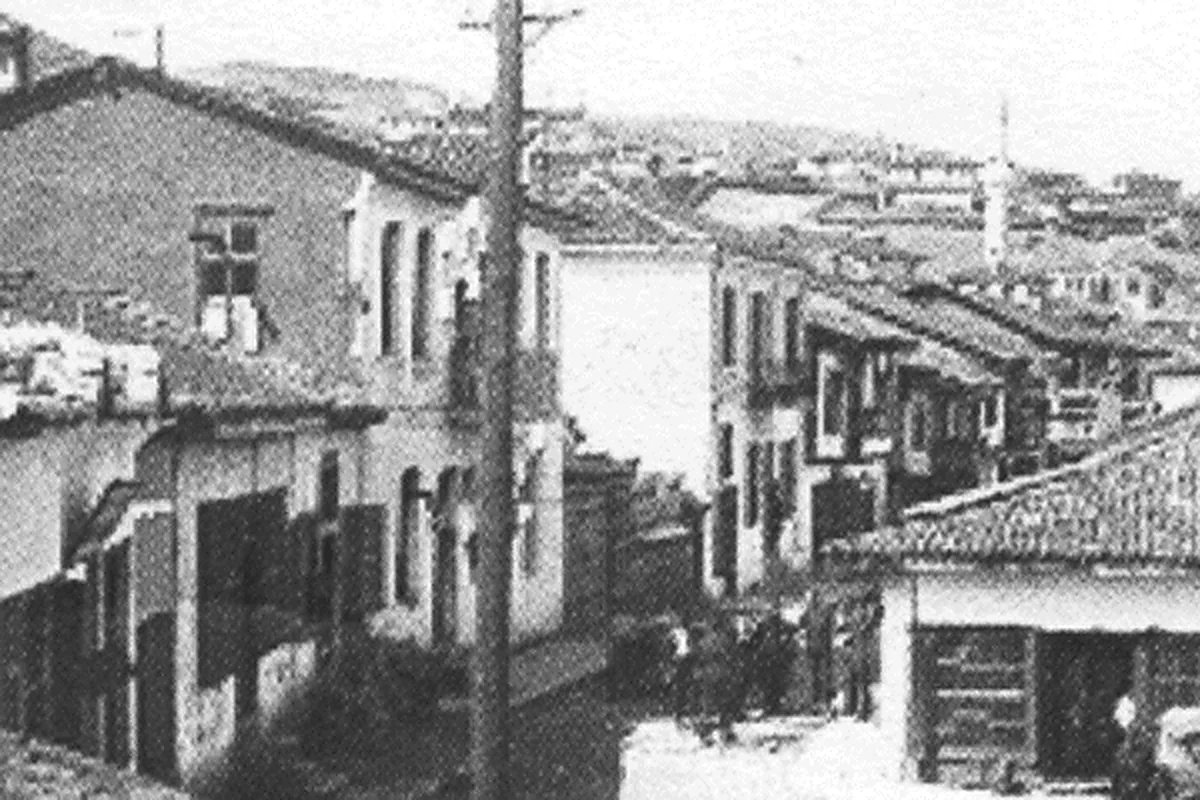
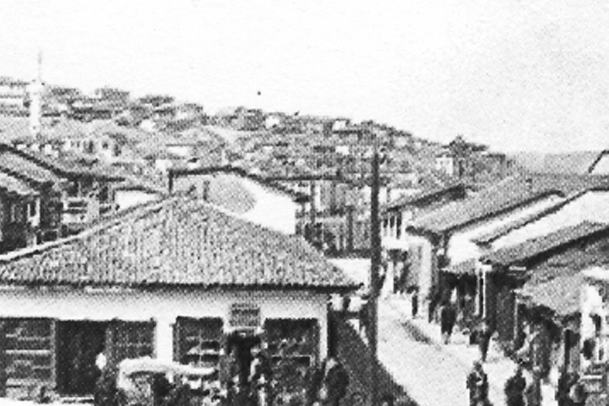
Photo Gallery (19)
Photo Gallery
Delchevo, frame by frame.
A responsive family gallery, including city views recovered from the old rotating banner system.
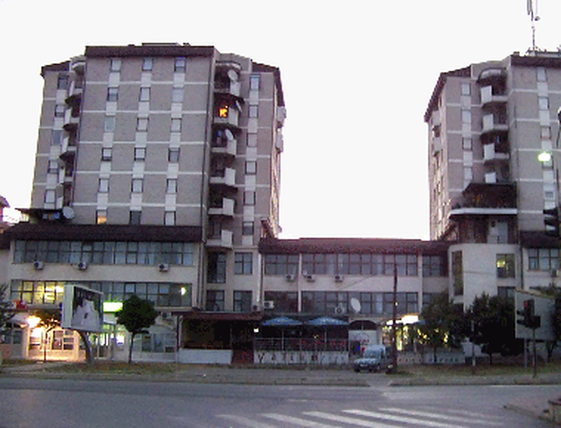
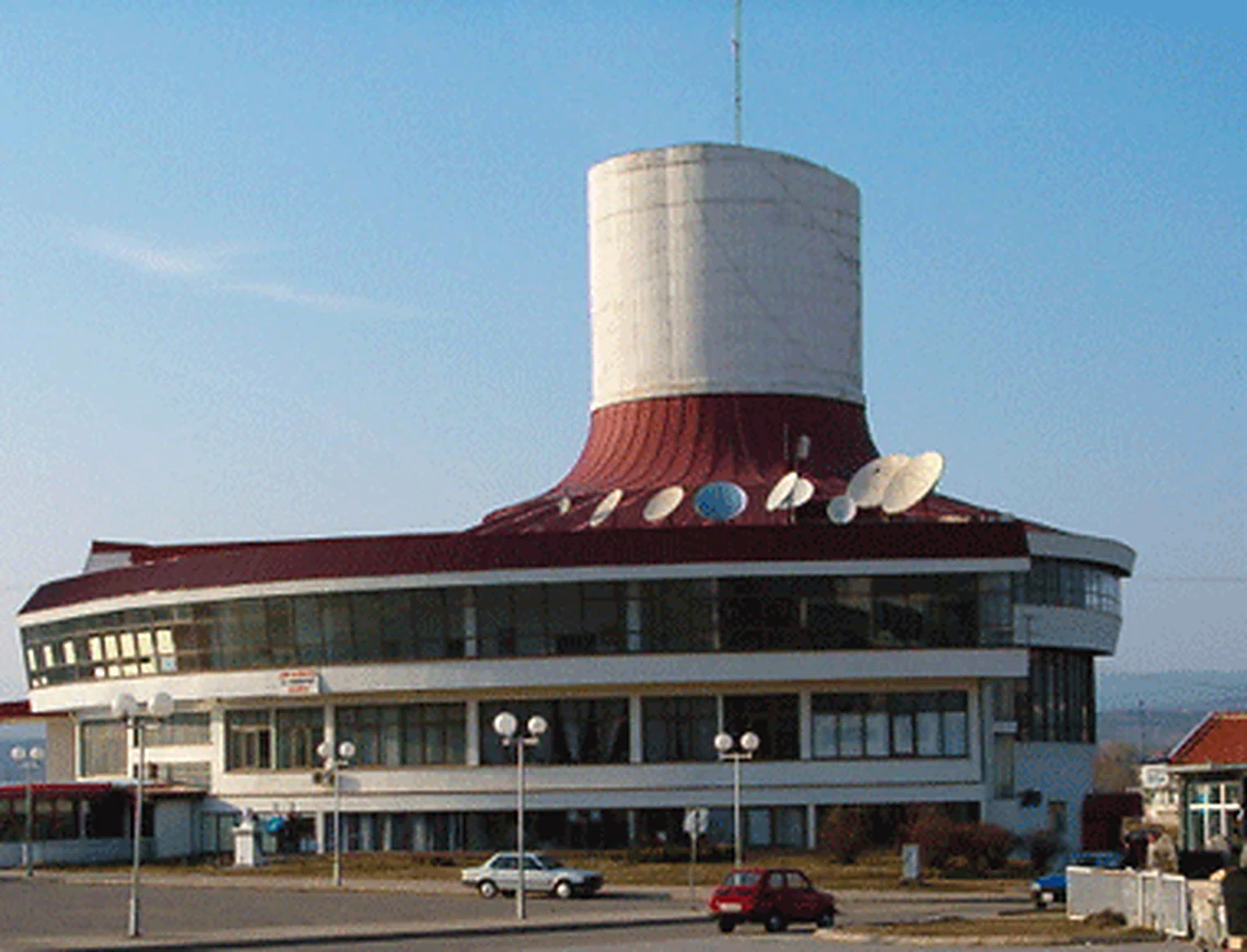
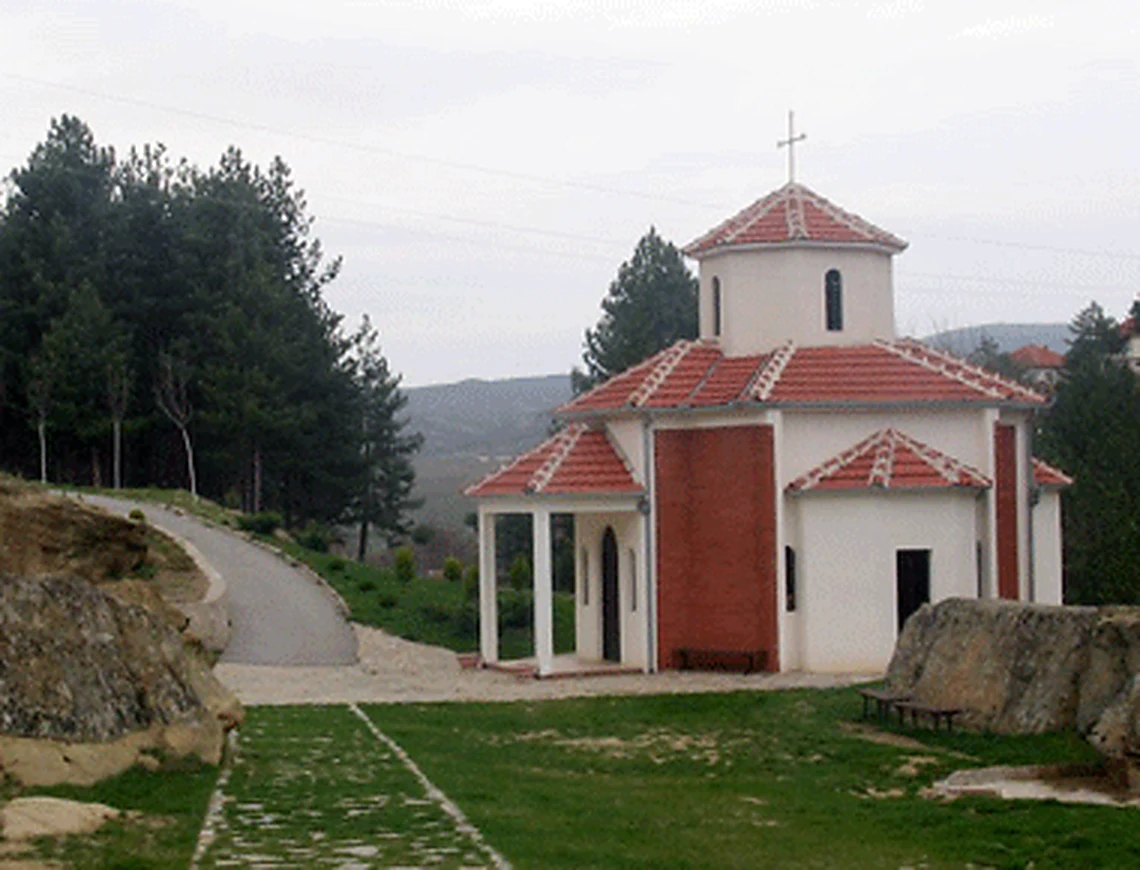
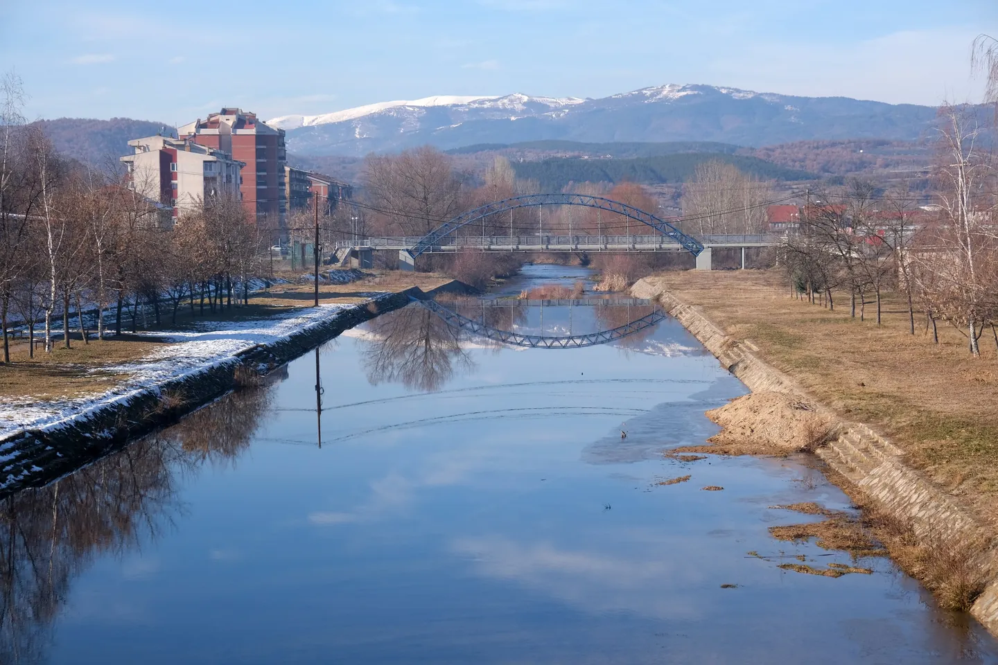
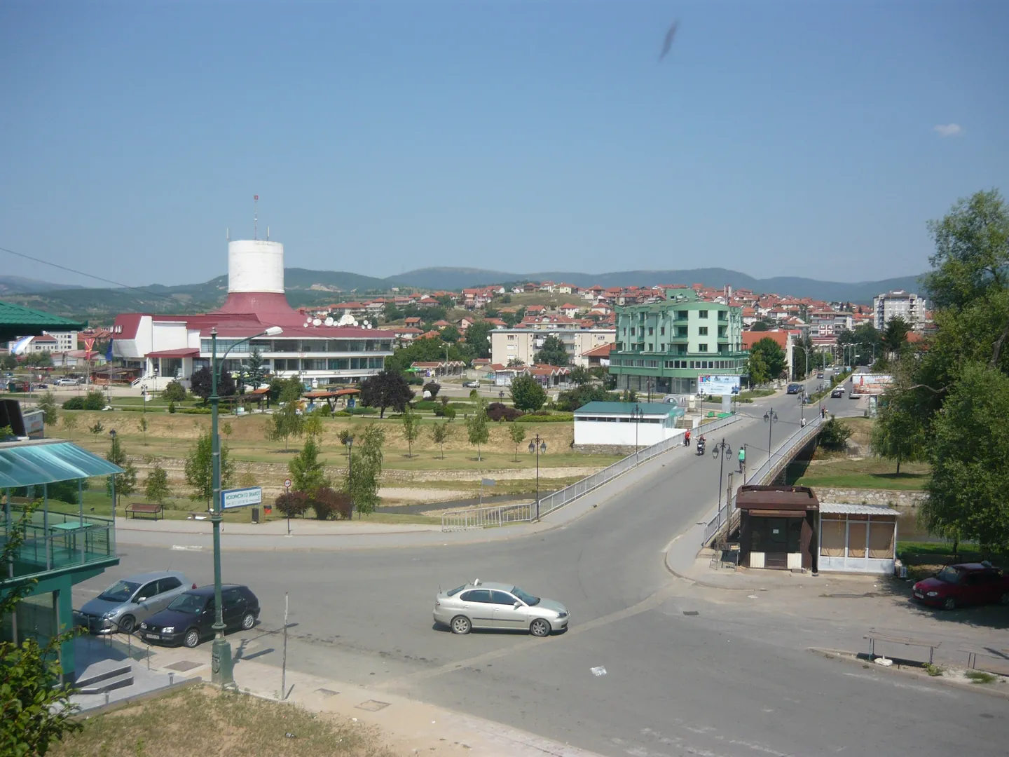
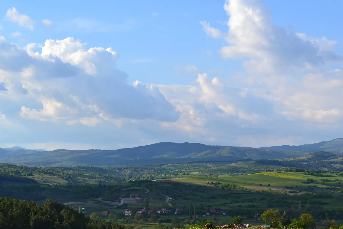
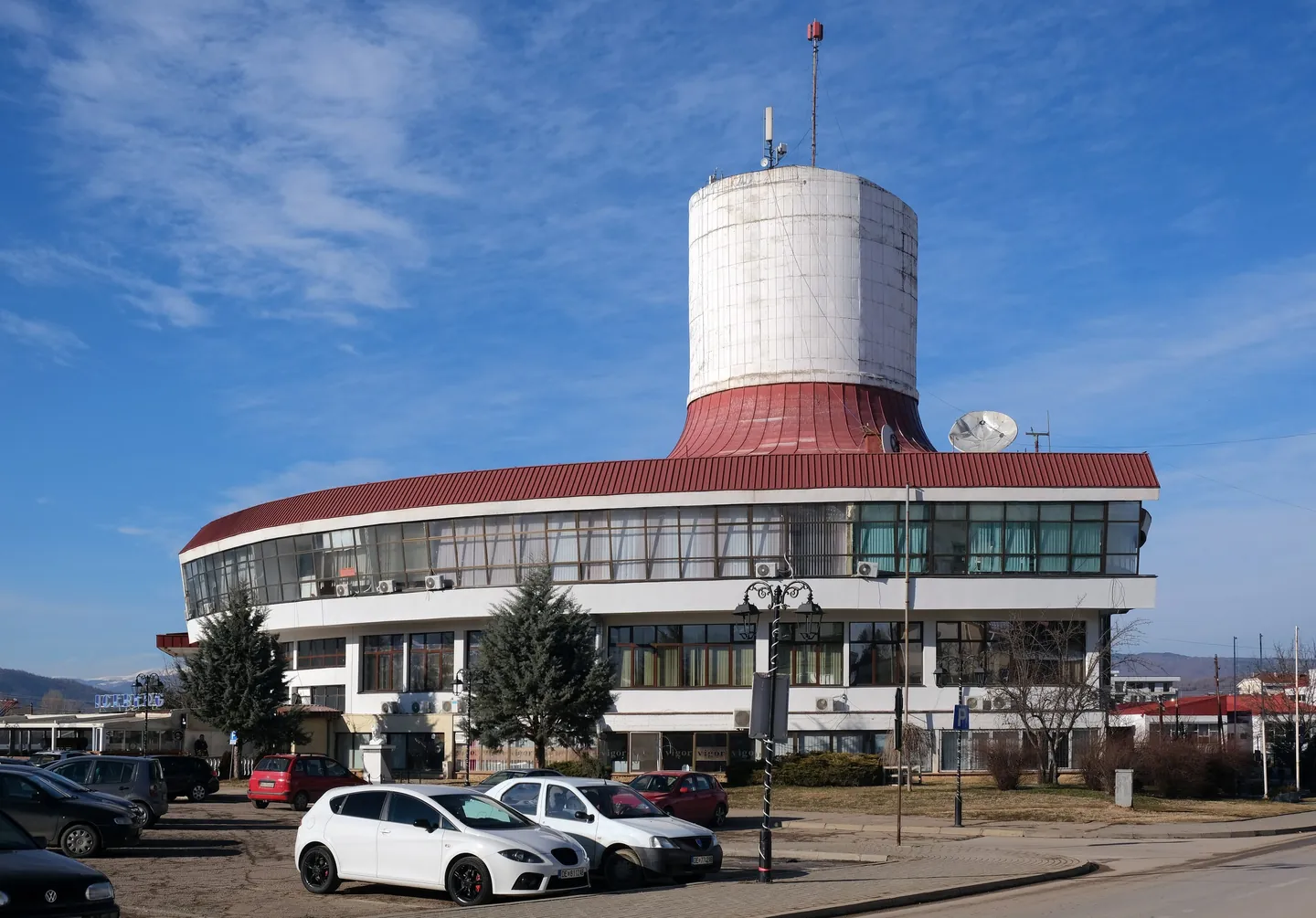
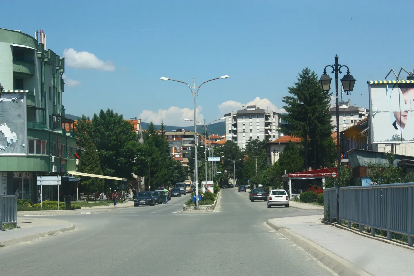
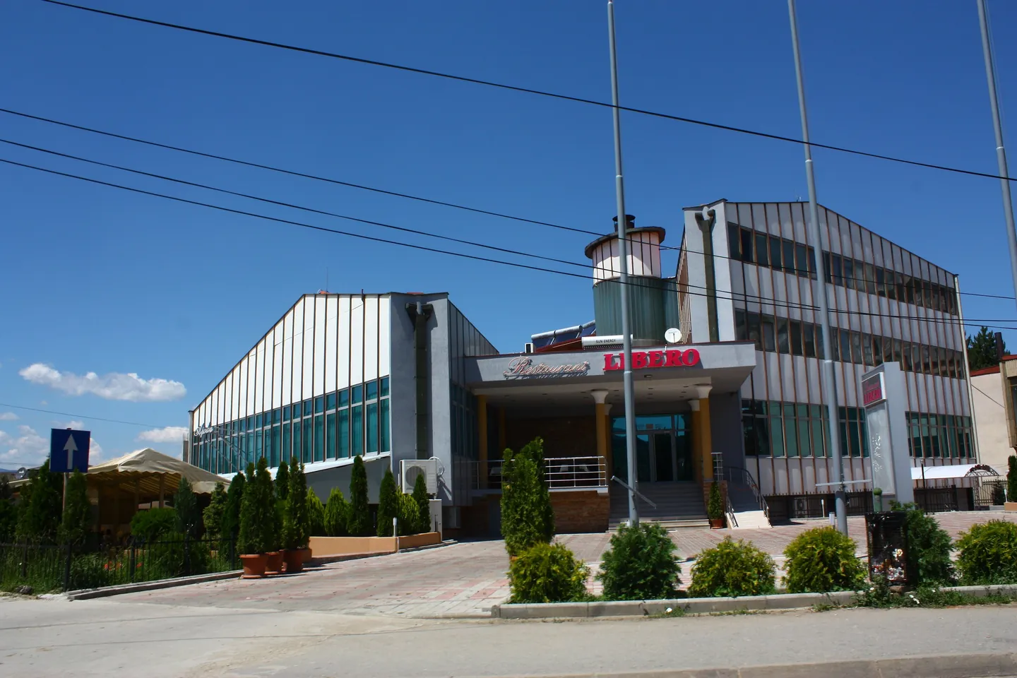
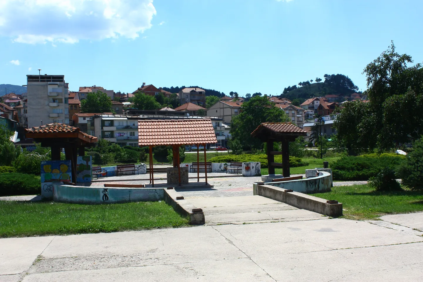
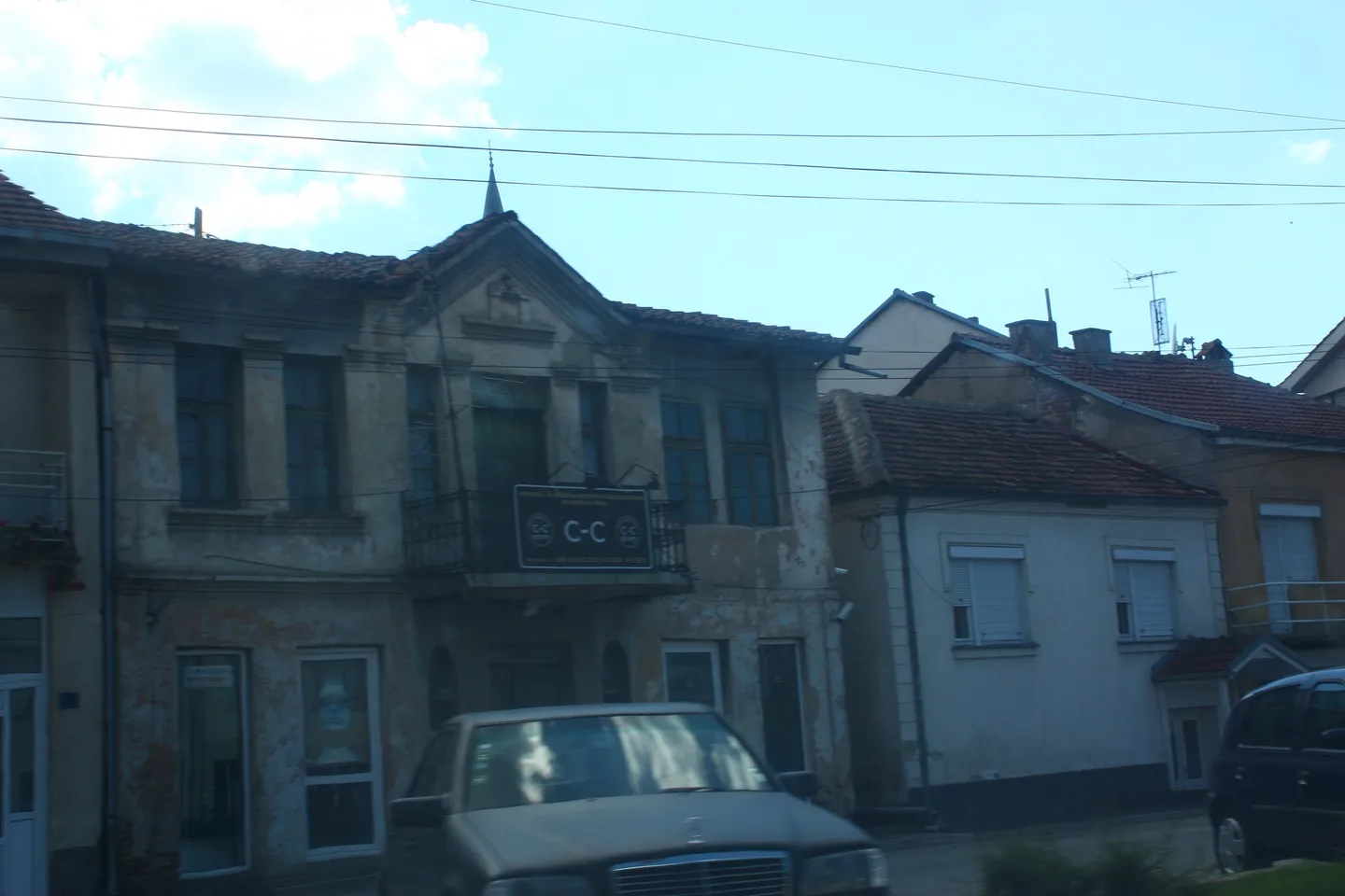
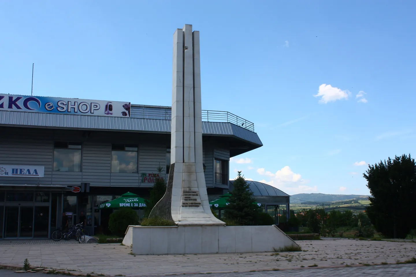
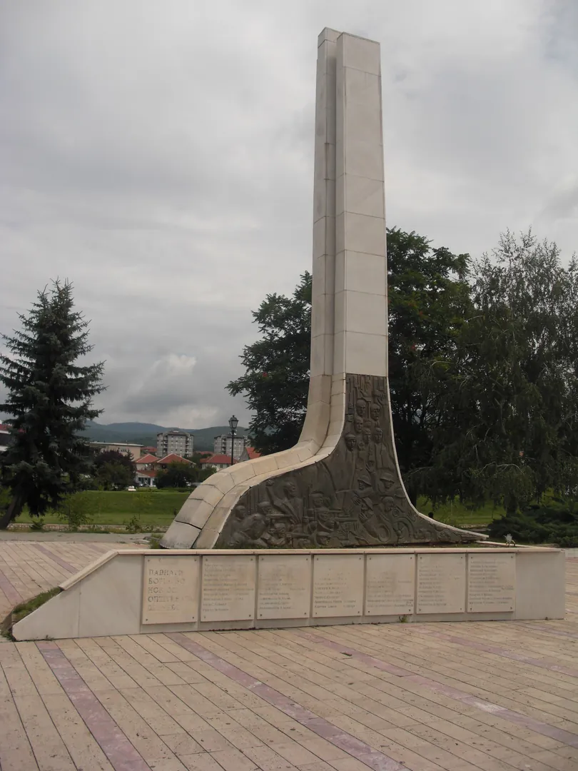
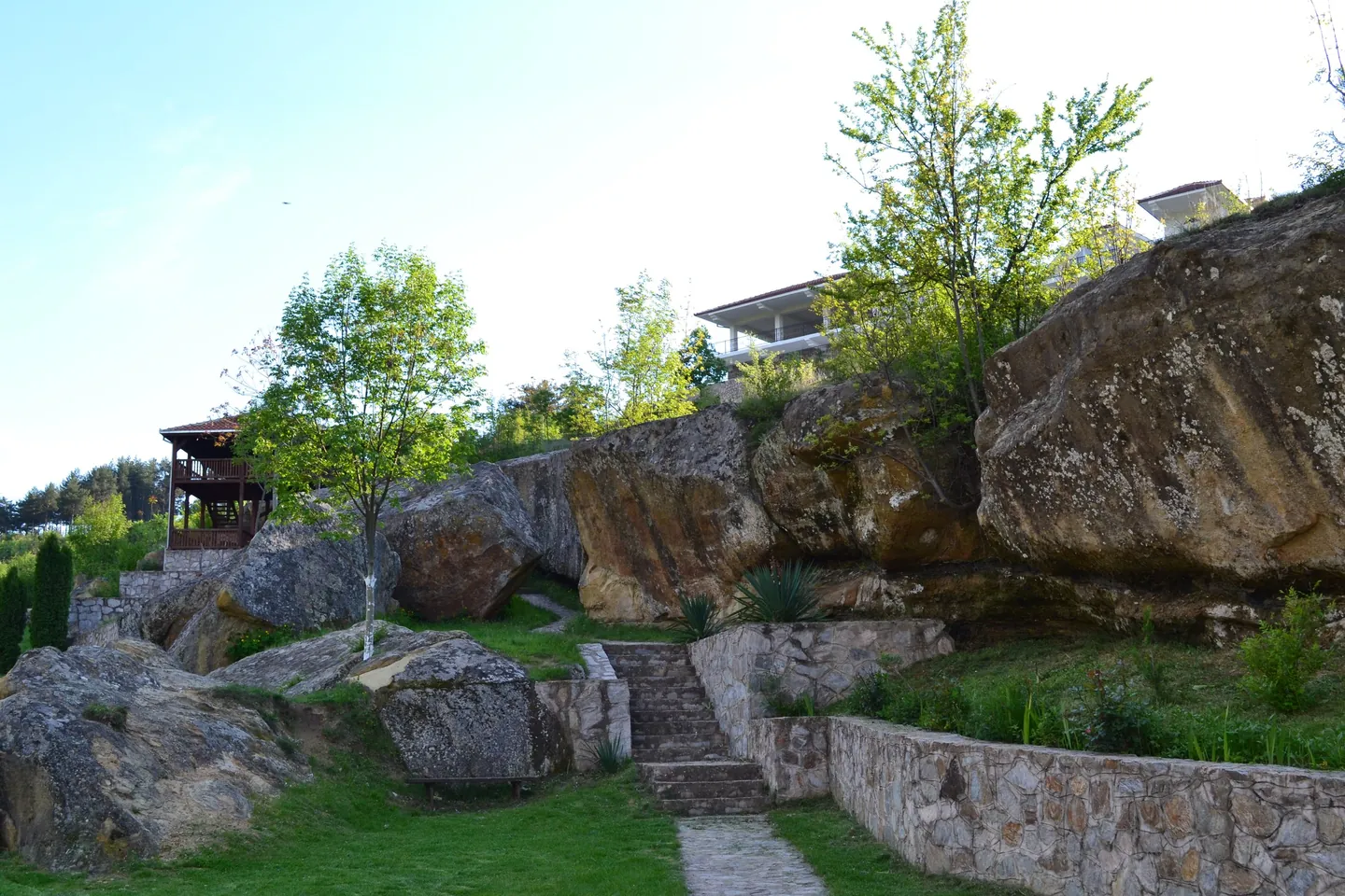
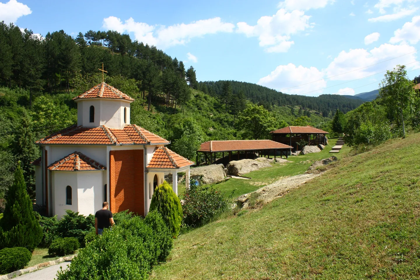
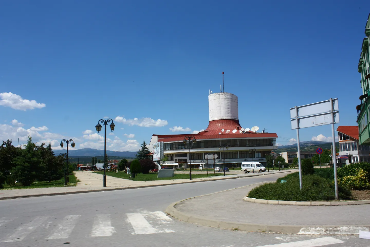
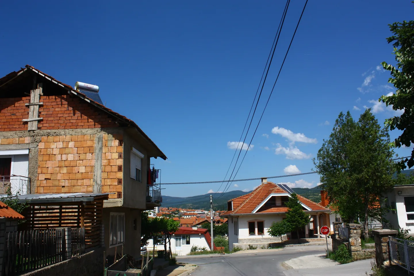
Photo credits
- Delchevo: the Bregalnica river running straight between embankments, an arched bridge and snowy mountains beyond. Photo: kallernaCC BY-SA 4.0Wikimedia Commons
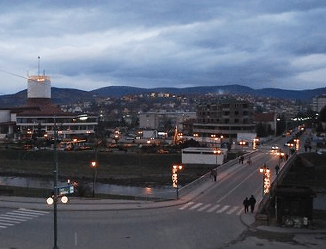
- Delchevo: a road junction with a bridge and parkland, a white cylindrical tower above a red-roofed building in the distance. Photo: DvacetPublic domainWikimedia Commons
- Delchevo: green fields and hazy mountains under a big sky, a landscape seen from somewhere in the town. Photo: G.Karolina8CC BY-SA 3.0Wikimedia Commons
- Delchevo: the House of Culture "ASNOM", a curved glass-fronted building with a red roof and a white cylindrical tower. Photo: kallernaCC BY-SA 4.0Wikimedia Commons
- Delchevo: a wide street with green-fronted blocks and street lamps, leading towards tower blocks. Photo: RašoCC BY-SA 3.0Wikimedia Commons
- Delchevo: a modern building with a striped metal façade and glass entrance, flagpoles and shrubs in front. Photo: RašoCC BY-SA 3.0Wikimedia Commons
- Delchevo: a paved park area with timber pavilions and lawns, with houses and a hill behind. Photo: RašoCC BY-SA 3.0Wikimedia Commons
- Delchevo: a weathered two-storey house with a balcony beside newer houses, a car parked in front. Photo: RašoCC BY-SA 3.0Wikimedia Commons
- Delchevo: a tall white concrete obelisk on a plaza beside a shop building, hills in the distance. Photo: RašoCC BY-SA 3.0Wikimedia Commons
- Delchevo: a monument to the fallen of the People's Liberation War, a tall white obelisk on a stone base with plaques. Photo: YemcPublic domainWikimedia Commons
- Delchevo: steps climb through large boulders and shrubs in a landscaped hillside garden. Photo: G.Karolina8CC BY-SA 3.0Wikimedia Commons
- Delchevo: the Church of the Theotokos Life Giving Spring, a small domed church with orange-tiled roofs in a green valley. Photo: RašoCC BY-SA 3.0Wikimedia Commons
- Delchevo: a white cylindrical tower above a red-roofed building, across a junction with a zebra crossing and lamps. Photo: RašoCC BY-SA 3.0Wikimedia Commons
- Delchevo: an unfinished brick house beside a street sloping towards red-roofed houses, power lines overhead. Photo: RašoCC BY-SA 3.0Wikimedia Commons


