
Pelagonia
Demir Hisar
Демир Хисар
- Residents · 2021 census
- 2,431
- Old photographs
- 9
- Photographs
- 33
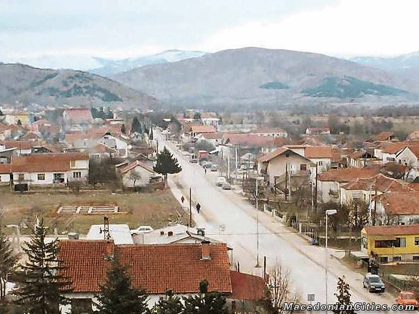
A small Pelagonian centre ringed by wooded hills
Demir Hisar is a young town in an old region. It stands in the upper Crna River valley between Pelagonia, Krushevo and the mountain routes toward Kichevo, serving a municipality of forested ridges, karst fields, iron-bearing hills and long-established villages.
Overview
City overview
Meet Demir Hisar.
A grounded introduction to the city, its landscape, people, history and wider municipality.
Demir Hisar is a young town in an old region. It stands in the upper Crna River valley between Pelagonia, Krushevo and the mountain routes toward Kichevo, serving a municipality of forested ridges, karst fields, iron-bearing hills and long-established villages.
The wider district was traditionally called Zheleznik, and both that name and the Turkish-derived Demir Hisar evoke iron and fortress country. Medieval and Ottoman life was dispersed among villages and monasteries; today’s administrative centre developed mainly after 1945 around the settlement once known as Murgashevo.
The 2021 census counted 7,260 residents in the municipality and 2,431 in the town. The population is small, but its cultural weight is large: Smilevo gave the Ilinden movement Dame Gruev and hosted the 1903 congress, while Sloeshtica gave Macedonian literature Petre M. Andreevski.
Forty villages surround the town, each carrying a piece of Zheleznik: Slepche and Zhurche with their monasteries, Smilevo with Mijak identity and Ilinden memory, Babino with the AL-BI library, and remote settlements such as Golemo Ilino, Brezovo and Rakitnica where forest, pasture and family return shape the year.
At a glance
Useful facts, in one place.
Settlement and municipality figures are kept distinct wherever sources permit.
- Municipality
- Demir Hisar Municipality
- City population
- 2,431
- Municipality population
- 7,260
- Population year
- 2021
- Municipal area
- 473 km²
- Approx. road distance from Skopje
- 160 km
- Postal code
- 7240
- Climate
- Continental upper-Crna valley climate with strong mountain influence
- Sports teams
- FK Demir Hisar
- Culture
-
- Smilevo preserves a distinctive Mijak enclave, costume tradition and central place in Ilinden history.
- The municipality’s many churches and monasteries give religious feast days a strong village and diaspora role.
- Petre M. Andreevski’s Sloeshtica roots make literature an unusually visible part of local identity.
- Population snapshot
- 2,431 city residents and 7,260 municipality residents in the 2021 census; 4,829 lived outside the city settlement.
- Typical lowland elevation
- 600–700 m
- Approx. road distance from Bitola
- 30 km
Known for
The city's signature.
Landmarks, foods, landscapes and traditions that give Demir Hisar its character.
- The historic Železnik or 'iron' district
- Slepče Monastery and other medieval religious sites
- The private Al-Bi library in the village of Babino
- Forested upper-Crna River landscapes
Geography
Geography
Land shapes the city.
Terrain, waterways, climate and transport explain why Demir Hisar grew where it did.
Demir Hisar occupies the valley of the upper Crna River, west of the Pelagonia plain and between the mountain systems that separate Bitola, Kičevo and Kruševo. The town itself is small and relatively young, but it serves a large rural municipality of forested ridges, spring-fed streams and long-established villages. Roads through the valley provide the natural connection between southern Pelagonia and the central-western interior.
The district's older name, Železnik, and its present Turkish-derived name both mean 'iron fortress' or refer to iron. They reflect the ore-bearing geology of the surrounding hills and a memory of metalworking rather than a single surviving citadel. The upper Crna and the wooded terrain give the municipality a quiet, pastoral character.
History
History
A concise, rewritten account.
Written afresh from cross-checked municipal, archaeological, heritage and institutional sources—not copied website text.
The wider Železnik area has a history much older than the present town. Medieval churches and monasteries at Slepče, Žurče, Sloeshtica and other villages show that this was a settled religious and cultural landscape for centuries. Monastic estates, farming communities and routes between Pelagonia and Kičevo structured local life through Byzantine, medieval and Ottoman rule.
Demir Hisar itself began to develop as an urban and administrative centre after the Second World War, particularly from the end of 1945. Public institutions and new housing were concentrated near the road and river, gradually drawing services away from older village centres. This explains why the town has a modern plan while the municipality's most important heritage is scattered across the countryside.
Today the history of Demir Hisar is best understood as the story of Železnik as a whole: iron-rich mountains, monastic art, village literary traditions and a twentieth-century town created to serve them.
The preserved legacy narrative
Open the preserved legacy narrative
The community of Demir Hisar began to develop in 1945, soon after the Second World War. The inherited account says that a new political, social and administrative community and local public administration were first established in the village of Lopatica. Following changes to the republic’s territorial and urban regulations, the administrative centre was moved to Murgashevo, around which the present town developed.
The name Demir Hisar is connected with iron deposits in the surrounding mountains and is conventionally translated as “Iron Fortress.” The legacy text says that the place-name changed with successive rulers and periods of rule.
According to the inherited narrative, under Greek rule the district was known as Sidero Kastro, also meaning “Iron Fortress,” and the Ottoman army later rendered the name as Demir Hisar with the same meaning in Turkish. Demir Hisar remained the town’s name in Yugoslavia and continues in use today. This neat Greek-to-Ottoman sequence simplifies a much longer and less linear naming history that also includes the regional Slavic name Železnik and the medieval form Sideron Kastron; the source’s broad label “Greek rule” therefore requires more precise dating and attribution.
Profile sources (14)
- macedonia-timeless.com/eng/cities_and_regions/cities/demir-hisar
- demirhisar.gov.mk
- en.wikipedia.org/wiki/Petre_M._Andreevski
- publicitet.mk/mojot-zhivot-mojot-svet-zhivko-popovski-cvetin-zhivot-posveten-na-cvekjeto-ljubovta-i-mirot
- stat.gov.mk/pdf/2022/2.1.22.10Popis-mk-en.pdf
- citypopulation.de/en/northmacedonia/pelagoniski/demir_hisar/404934__demir_hisar
- citypopulation.de/en/northmacedonia/pelagoniski/402__demir_hisar
- demirhisar.gov.mk/za-demir-hisar
- demirhisar.gov.mk/demir-hisar/demografija
- demirhisar.gov.mk/demir-hisar/istorija
- demirhisar.gov.mk/turistichka-ponuda
- demirhisar.gov.mk/biblioteka-petre-m-andreevski-demir-hisar
- ffm.mk/en/natprevaruvanje/treta-liga-ugozapad-23-24
- makstat.stat.gov.mk/PXWeb/pxweb/en/MakStat/MakStat__Popisi__Popis2021__NaselenieVkupno__PodatociNaselenie/T1501P21.px
Interesting Facts
Interesting facts
Details worth remembering.
Local landmarks, customs, foods and historical details that reward a closer look at Demir Hisar.
-
The name means Iron Fortress
Demir is Turkish for iron and hisar for fortress; older regional names such as Zheleznik and Sideron Kastron carry the same iron-country idea.
-
A town created after 1945
The present administrative centre grew after the Second World War around Murgashevo, while most of the municipality’s older history remains in its villages.
-
One town and forty villages
The current municipality contains exactly forty-one settlements: Demir Hisar town and forty named villages.
-
The Smilevo Congress prepared Ilinden
Delegates met in Smilevo from 2 to 7 May 1903 to organize the Bitola revolutionary district before the Ilinden Uprising.
-
A Mijak village far from the usual Mijak heartland
Smilevo is a distinctive Mijak cultural enclave at about 880 metres, with recognizable dress, building and family traditions.
-
Slepche was a manuscript centre
The Monastery of St John the Forerunner became an important literary, copying and spiritual centre connected with the Ohrid Archbishopric.
-
A landscape dense with sacred sites
The municipality reports sixty-two churches and monasteries across its dispersed settlements, several protected as cultural heritage.
-
A private library in Babino
The AL-BI library is a distinctive rural cultural attraction whose large private collection draws visitors to a small village.
-
Iron was more than a name
Municipal documentation records former iron-ore exploitation around the Sopotnica–Zhvan area, tying the place-name to real geology and work.
-
Cer Field is a major karst basin
The municipal tourism strategy describes Cer Field as the country’s largest surface karst field, a broad high landscape at the municipality’s edge.
People
Celebrities
Lives linked to the city.
Writers, musicians, artists, athletes, public figures and historical personalities with a clearly stated connection to Demir Hisar.
- Notable person Petre M. Andreevski Major Macedonian poet, novelist and dramatist born in Sloeshtica in the Demir Hisar municipality.
- Notable person Živko Popovski-Cvetin Painter and humanitarian born in Brezovo in the Demir Hisar municipality, known for his long-running Flowers of Peace project.
-
Dame Gruev History
Born in Smilevo in 1871; his home village, museum and the Smilevo Congress are central to his memory.
Teacher, revolutionary organizer and one of the founders of the Macedonian revolutionary organization.
Source -
Petre M. Andreevski Literature
Born in Sloeshtica in 1934; the municipal library carries his name and his village roots permeate his writing.
Major Macedonian poet, novelist and dramatist, author of works including ‘Pirey.’
Source -
Gjorgji Churanov History
Born in Smilevo and documented by the municipality among its Ilinden figures.
Revolutionary participant in the Ilinden period and the local struggle around Smilevo.
Source -
Milosh Trajkovski History
Born in Babino in Demir Hisar Municipality.
Revolutionary fighter associated with the national-liberation movement of the region.
Source -
Kuzman Todorovski History
Born in Babino and tied to the revolutionary history of Zheleznik.
Local revolutionary and fighter remembered in the municipality’s historical record.
Source -
Mijajle Stojanov Filiposki History
Born in Velmevci in today’s Demir Hisar Municipality.
Revolutionary fighter from the Ilinden-era regional movement.
Source -
Jordan Piperkata History
Not a municipal native; he fought and died in the Demir Hisar region, where his grave, memorial tower and commemorations sustain a strong association.
Revolutionary commander and folk-hero figure active in western Macedonia around the Ilinden period.
Source -
Zhivko Popovski-Cvetin Visual art
Born in Brezovo in Demir Hisar Municipality.
Painter and humanitarian known for the long-running Flowers of Peace project.
Source
Villages & Monasteries
Villages
The wider municipality.
Every verified village and rural settlement in the current municipal scope, followed by known monasteries in the surrounding cultural landscape.
40 villages and rural settlements are included.
- Babino A mountain-foot village known for the private AL-BI library and revolutionary associations. Source
- Bazernik A small rural settlement in Demir Hisar Municipality. Source
- Barakovo A village close to the municipal centre in the upper Crna valley. Source
- Belche A small village in the Zheleznik region. Source
- Boishte A rural village in Demir Hisar Municipality. Source
- Brezovo A mountain village and birthplace of painter Zhivko Popovski-Cvetin. Source
- Vardino A village near Demir Hisar in the upper Crna valley. Source
- Velmevci A village in the municipality’s western mountain country. Source
- Virovo A rural settlement in the Zheleznik region. Source
- Golemo Ilino A high mountain village with St Elijah monastery heritage. Source
- Graishte A village associated with the Monastery of St Thomas. Source
- Dolenci A small settlement in Demir Hisar Municipality. Source
- Edinakovci A village close to the upper Crna valley routes. Source
- Zhvan A village in the historic iron-bearing part of the municipality. Source
- Zheleznec A village whose name itself preserves the region’s association with iron. Source
- Zhurche A historic village with important monastery and church heritage. Source
- Zagoriche A small rural settlement in the municipality. Source
- Zashle A mountain village in the Demir Hisar countryside. Source
- Kochishte A small settlement in the Zheleznik region. Source
- Kutretino A village near the municipal centre. Source
- Leskovo A small rural settlement in Demir Hisar Municipality. Source
- Malo Ilino A mountain village paired by name with Golemo Ilino. Source
- Mrenoga A small settlement in the upper Crna region. Source
- Novo Selo A village in Demir Hisar Municipality. Source
- Obednik A rural settlement in the municipality’s northern country. Source
- Pribilci A village on the valley routes through Demir Hisar. Source
- Radovo A small rural village in the municipality. Source
- Rakitnica A remote mountain village in the forested western part of the municipality. Source
- Rastojca A rural settlement in the Zheleznik region. Source
- Sveta A small village in Demir Hisar Municipality. Source
- Sladuevo A village in the upper Crna countryside. Source
- Slepche A major historic village known for the Monastery of St John the Forerunner. Source
- Sloeshtica The literary village of Petre M. Andreevski, set in the mountain landscape west of the town. Source
- Smilevo A Mijak cultural enclave, birthplace of Dame Gruev and site of the 1903 Smilevo Congress. Source
- Sopotnica A village in the iron-bearing southern part of the historic Zheleznik district. Source
- Strugovo A small settlement in Demir Hisar Municipality. Source
- Suvo Grlo A rural village in the municipality’s mountain country. Source
- Suvodol A village known for the Monastery of the Dormition and the nearby energy landscape. Source
- Utovo A small rural settlement in the Zheleznik region. Source
- Cerovo A village near the wider Cer karst landscape. Source
Monasteries nearby
Places of continuity.
Verified monastic sites within the municipality or its immediate cultural landscape.
-
Monastery of St John the Forerunner
Slepche
The municipality’s foremost medieval spiritual and literary centre, historically connected with manuscript copying and the Ohrid Archbishopric.
Source -
Monastery of Saints Peter and Paul
Smilevo
A monastery in the historic Mijak and Ilinden village of Smilevo.
Source -
Toplichki Monastery of St Nicholas
Between Zhvan, Babino and Sloeshtica
A historic monastery serving several villages in the western municipality.
Source -
Monastery of St Thomas
Graishte
A village monastery recorded in the municipality’s official tourism inventory.
Source -
Monastery of St Athanasius of Alexandria
Zhurche
One of Zhurche’s principal monastic sites in a landscape rich with religious heritage.
Source -
Monastery of St Elijah
Golemo Ilino
A high mountain monastery serving Golemo Ilino and its diaspora community.
Source -
Monastery of St Elijah
Zhurche
A second monastery associated with the historic village of Zhurche.
Source -
Monastery of St Athanasius
Sopotnica
A rural monastery in the southern iron-country part of the municipality.
Source -
Dobromirovo Monastery
Above Slepche
A mountain monastery site above the major religious centre of Slepche.
Source -
Monastery of the Dormition of the Most Holy Mother of God
Suvodol
An Orthodox monastery serving Suvodol and the surrounding upper-Crna villages.
Source
Old Photos (9)
Old Photos
The rare collection.
Every surviving full-size historical file is included, including originals that the old page markup accidentally omitted. Family-preserved originals remain untouched.
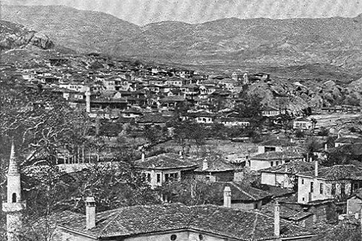
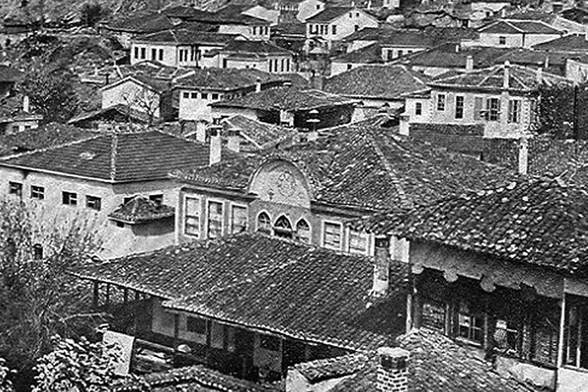
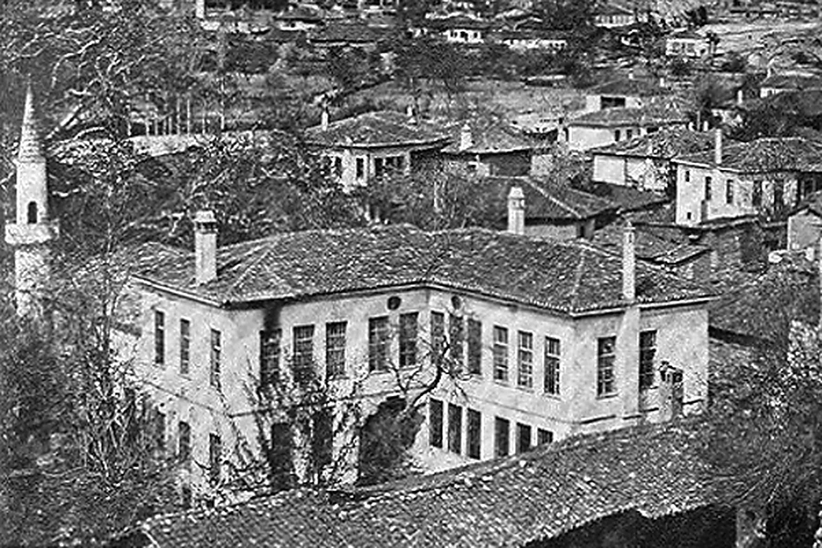
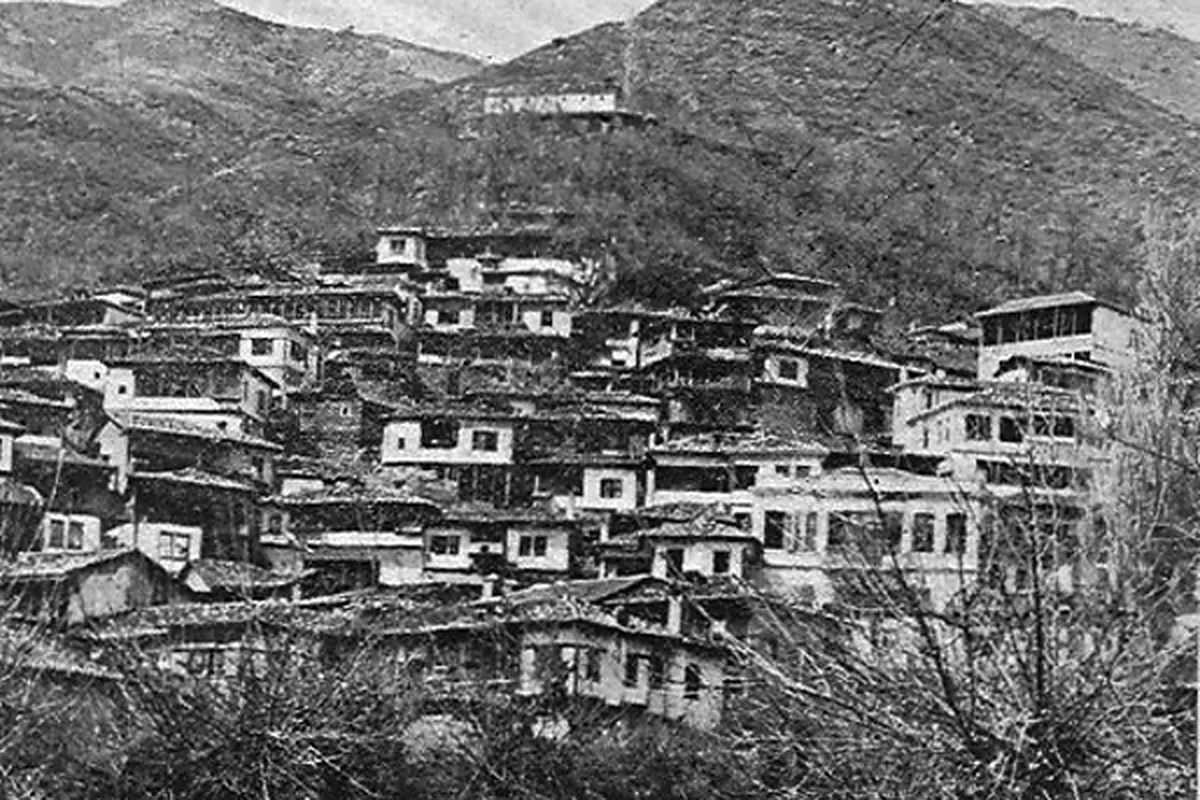
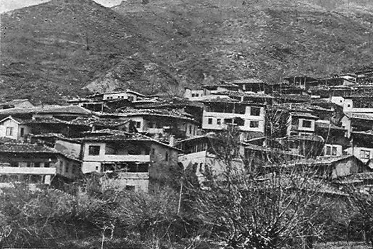
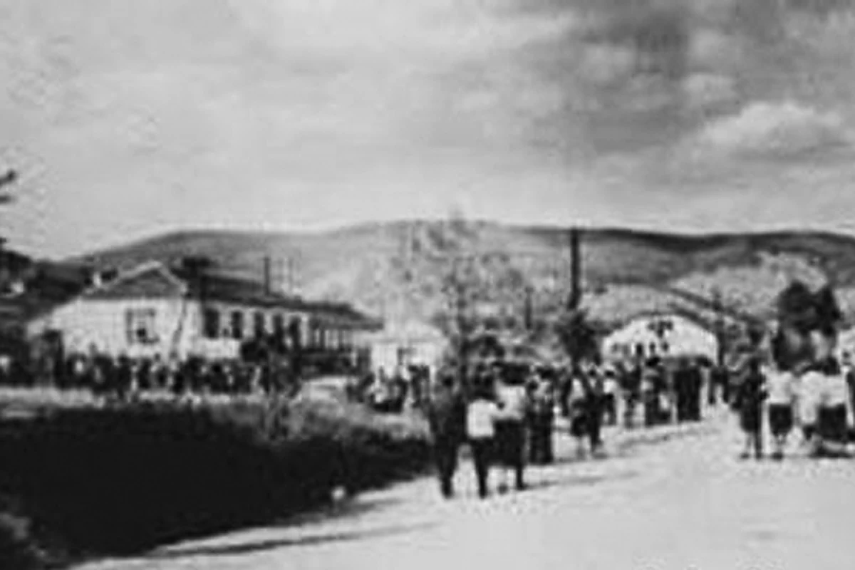
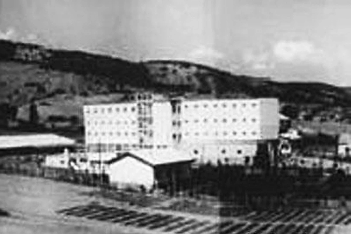
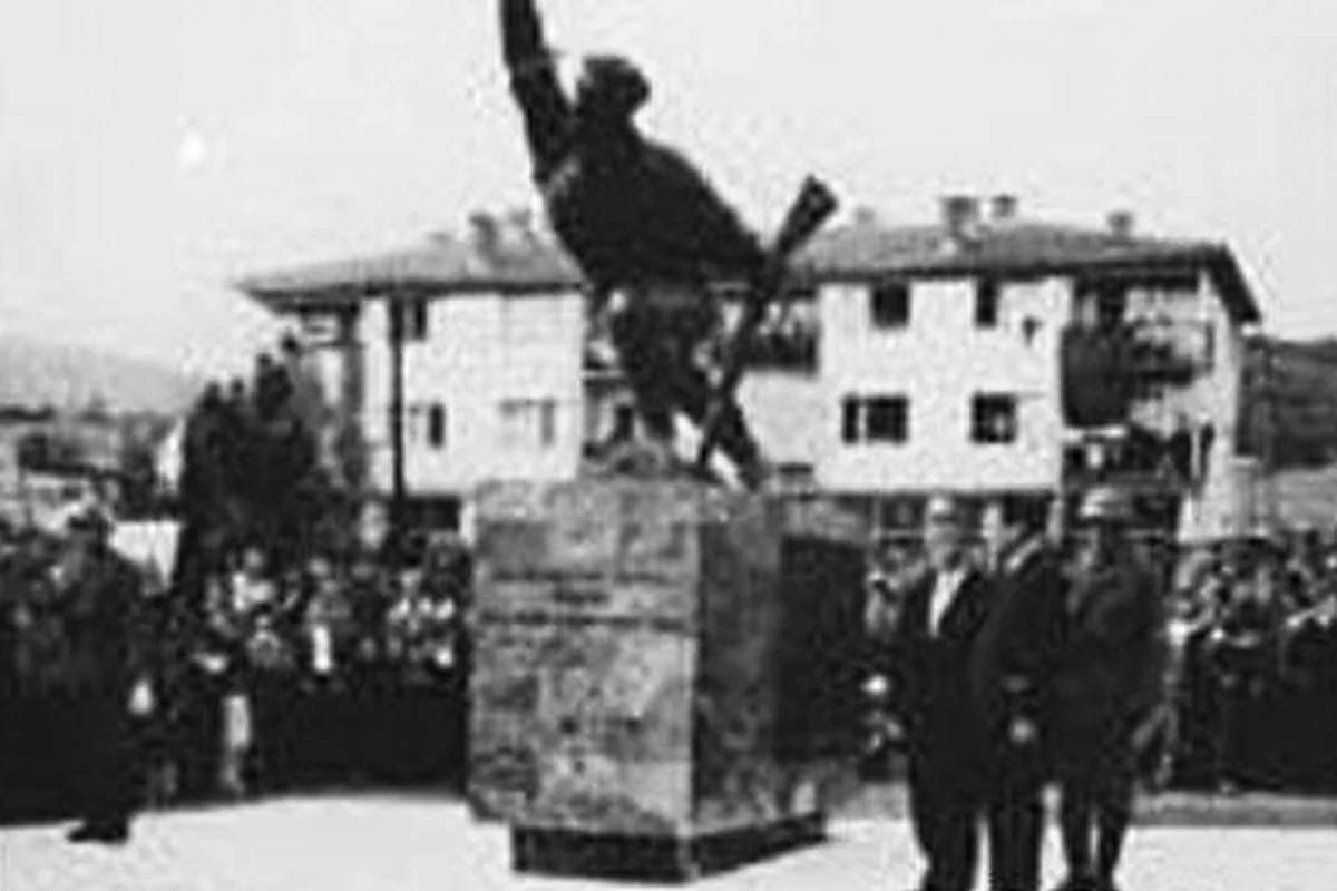
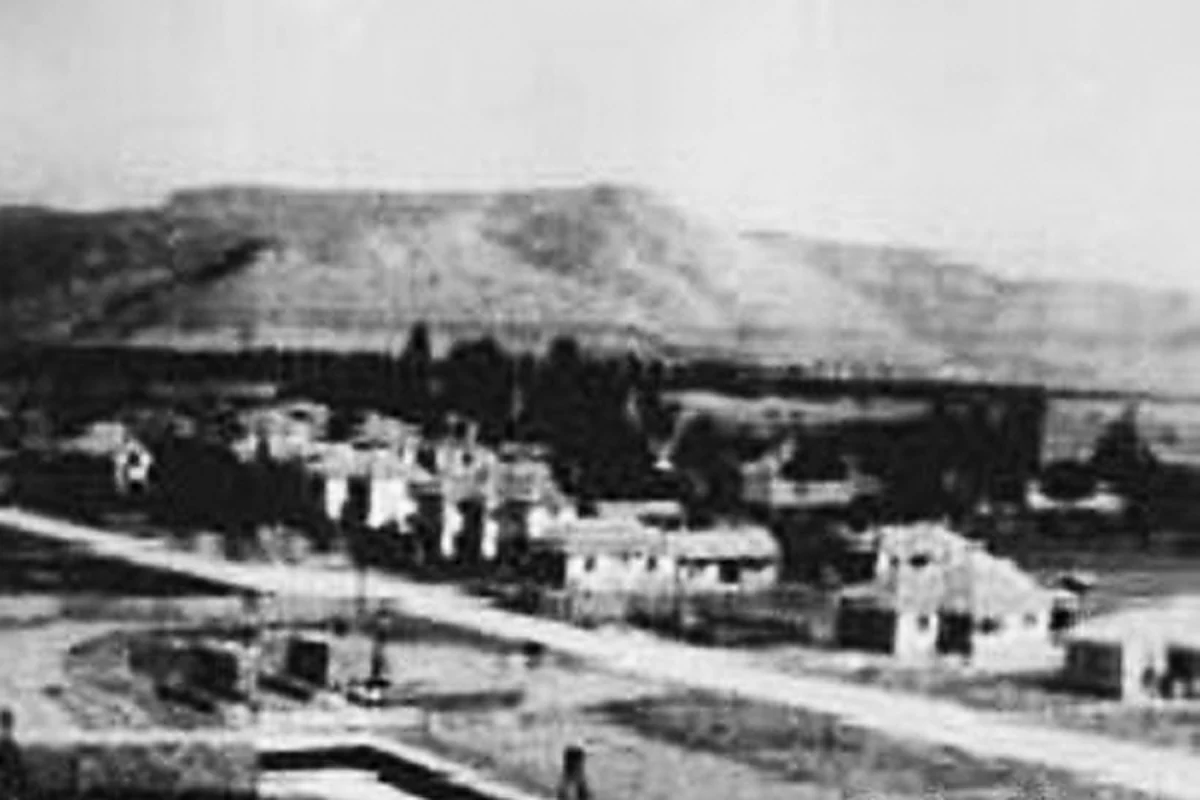
Photo Gallery (33)
Photo Gallery
Demir Hisar, frame by frame.
A responsive family gallery, including city views recovered from the old rotating banner system.
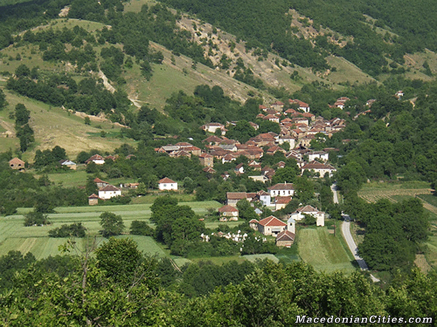
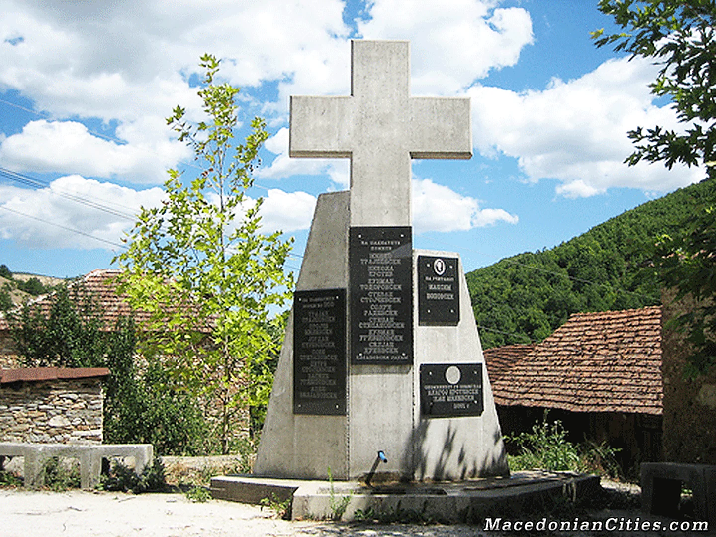
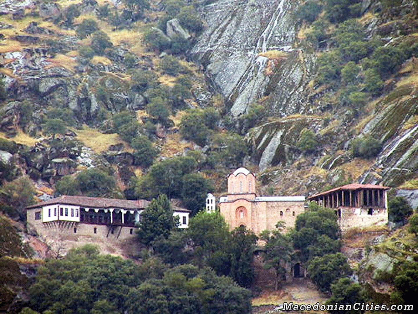
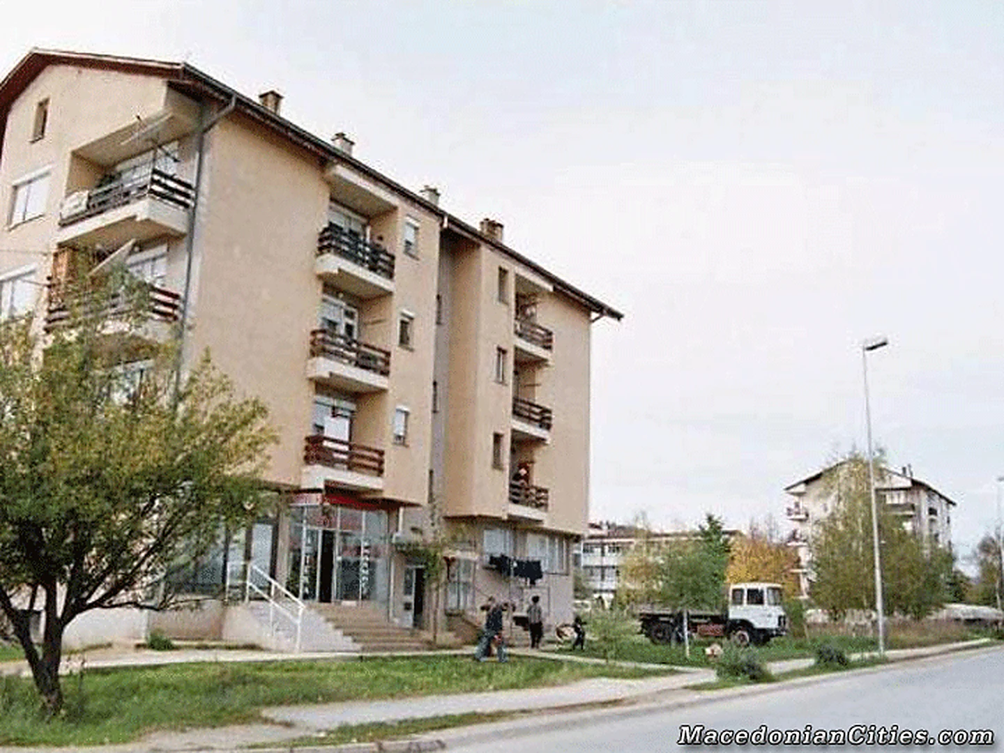
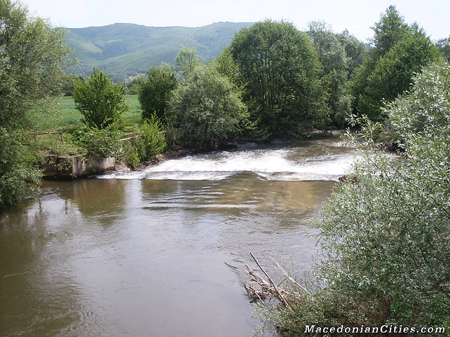
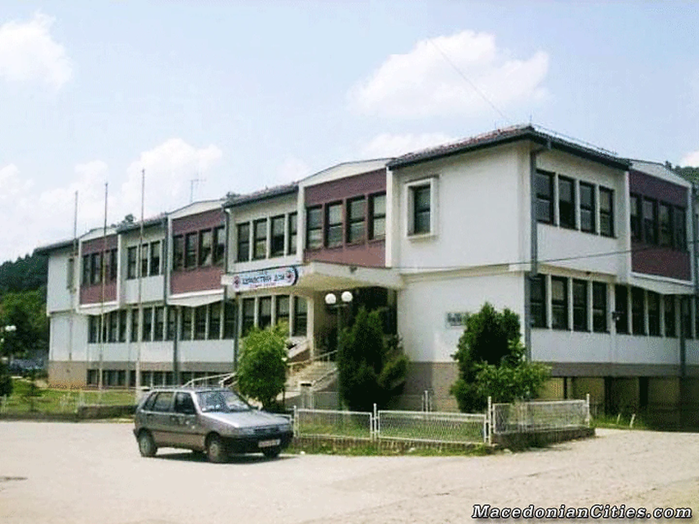
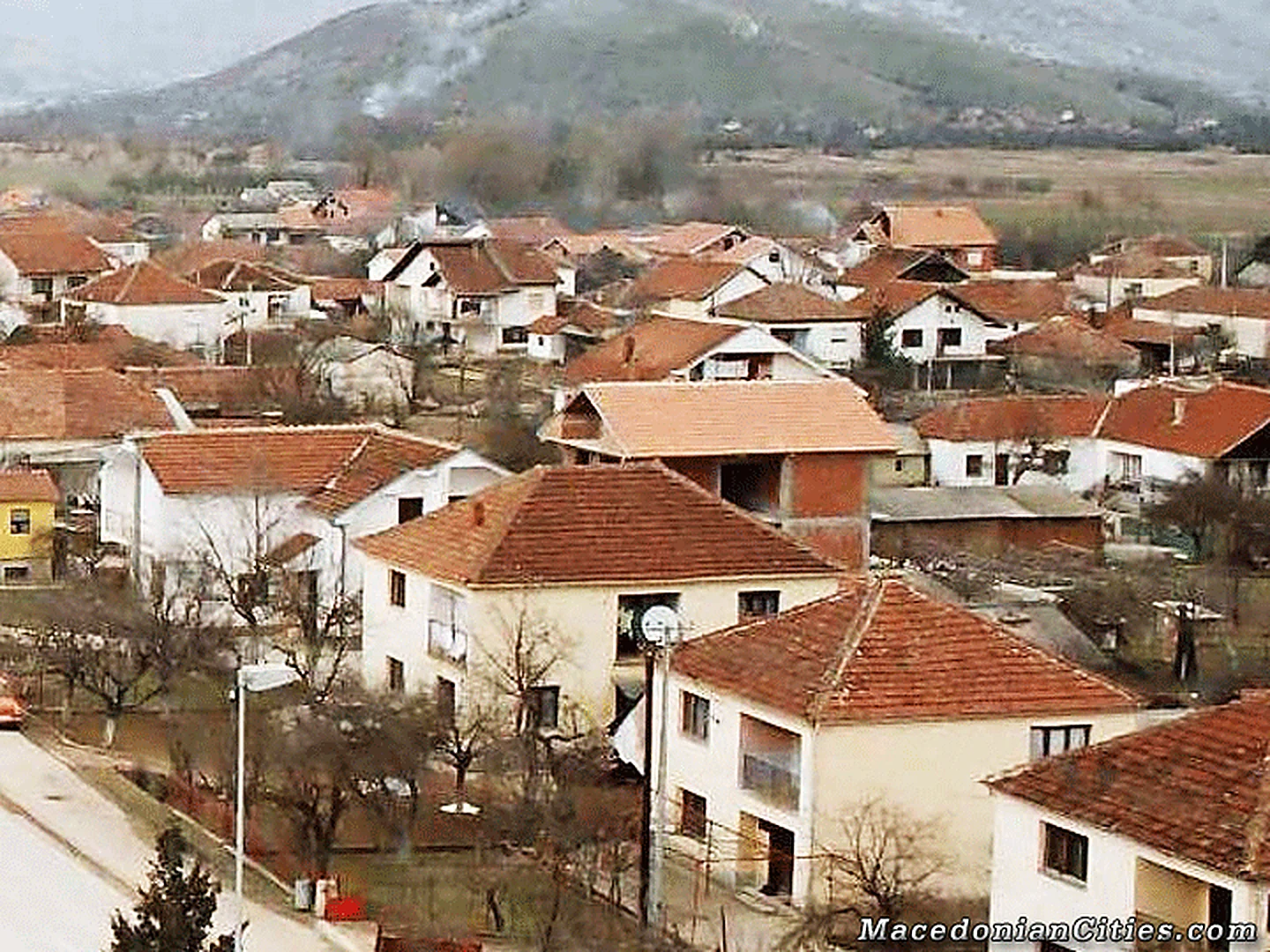
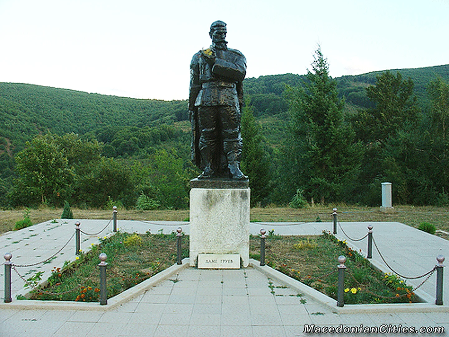
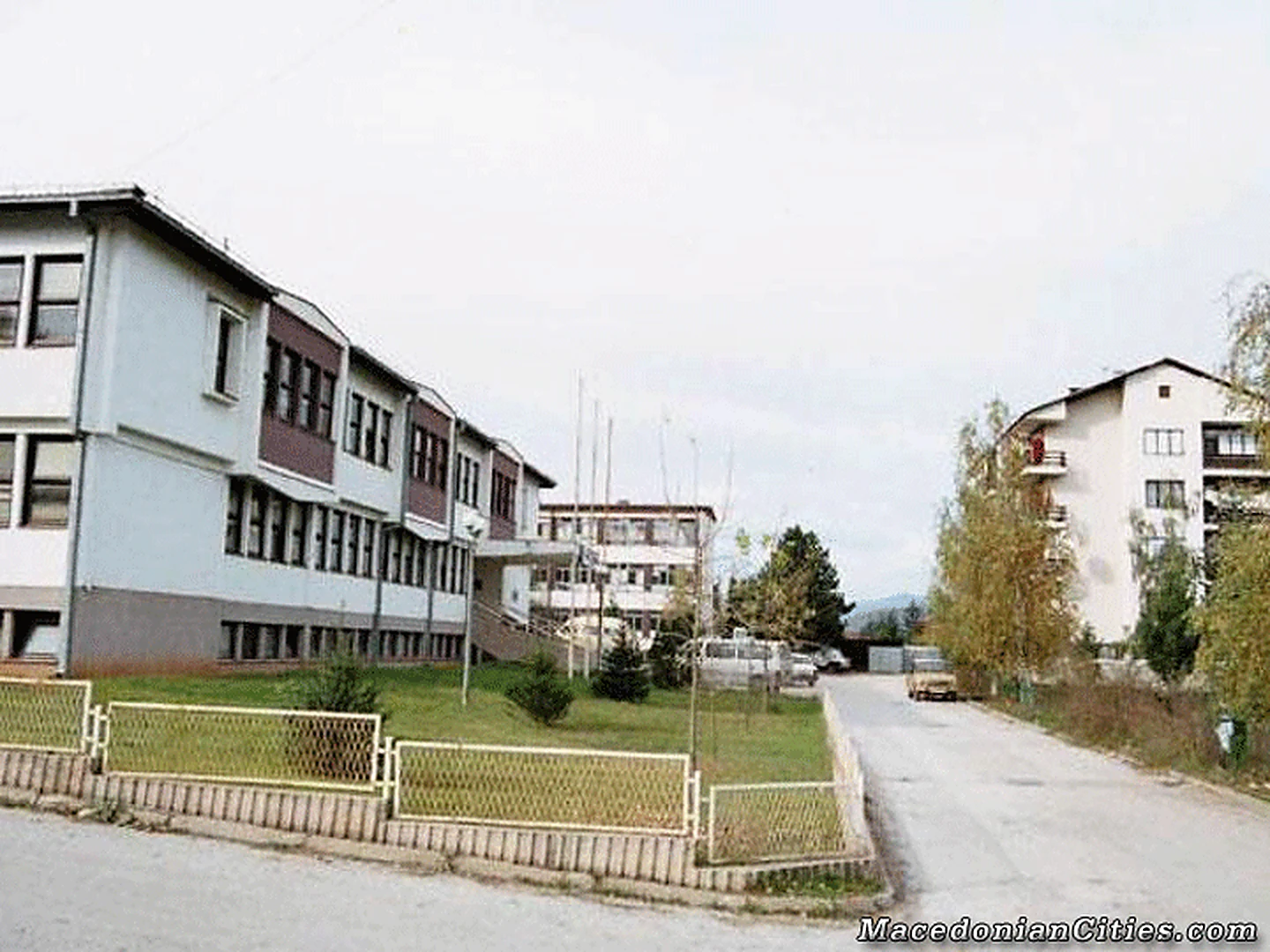
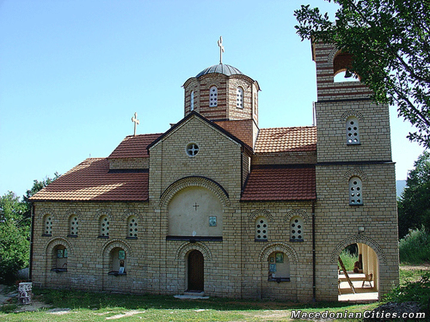
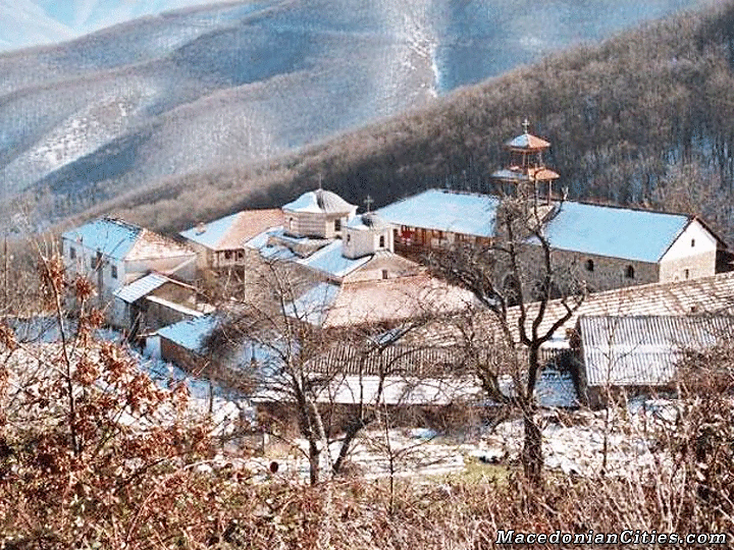
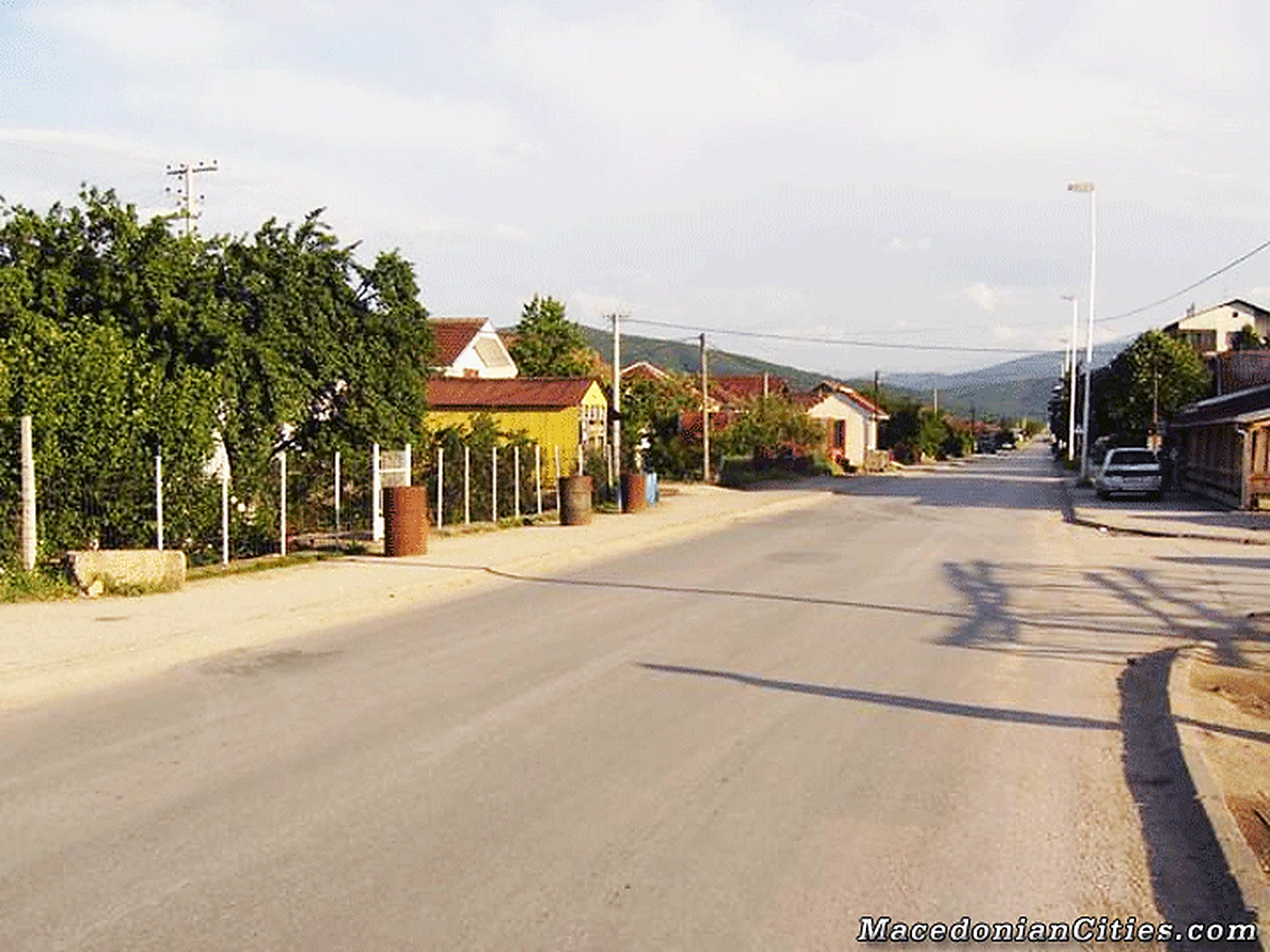
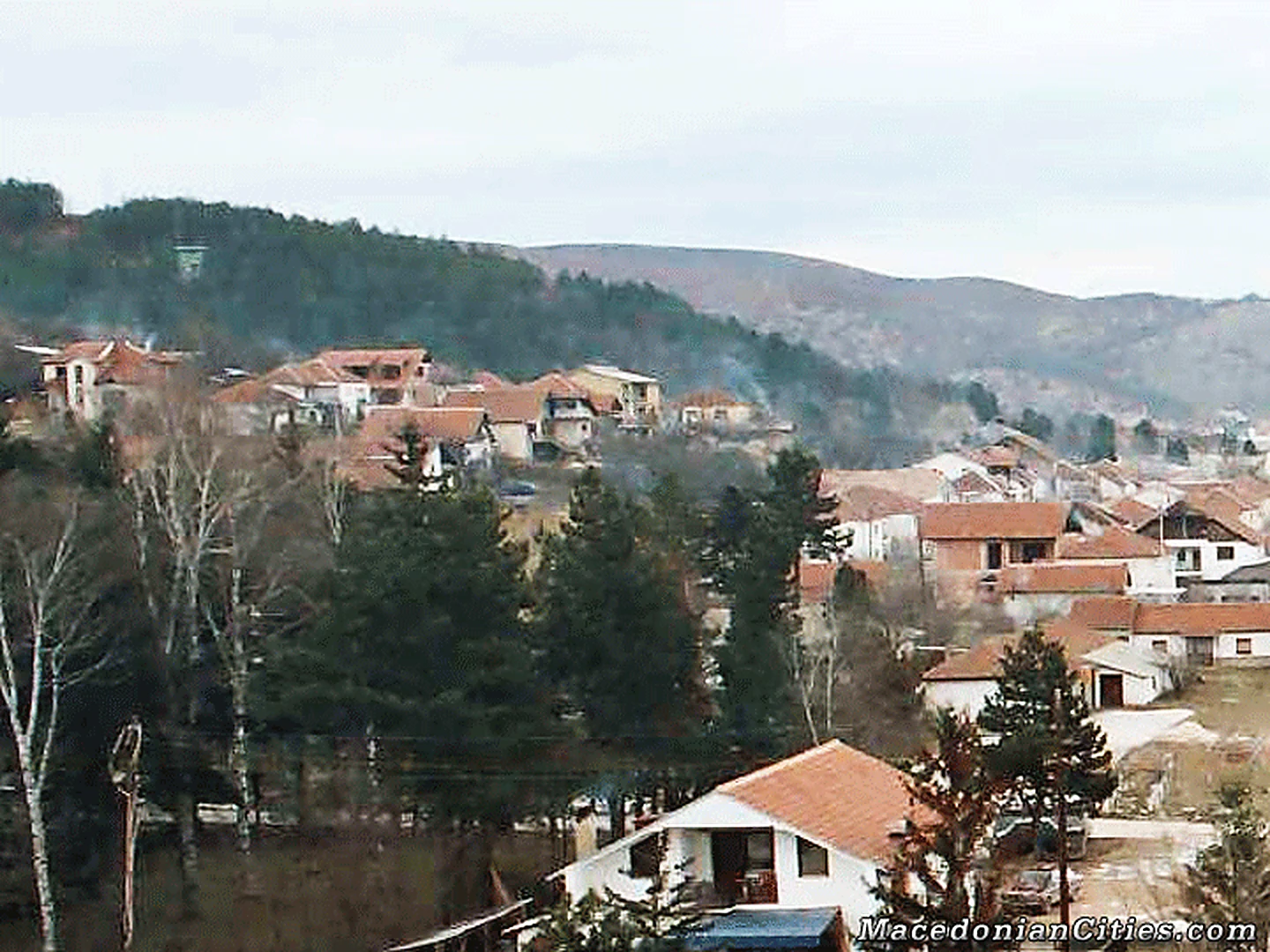
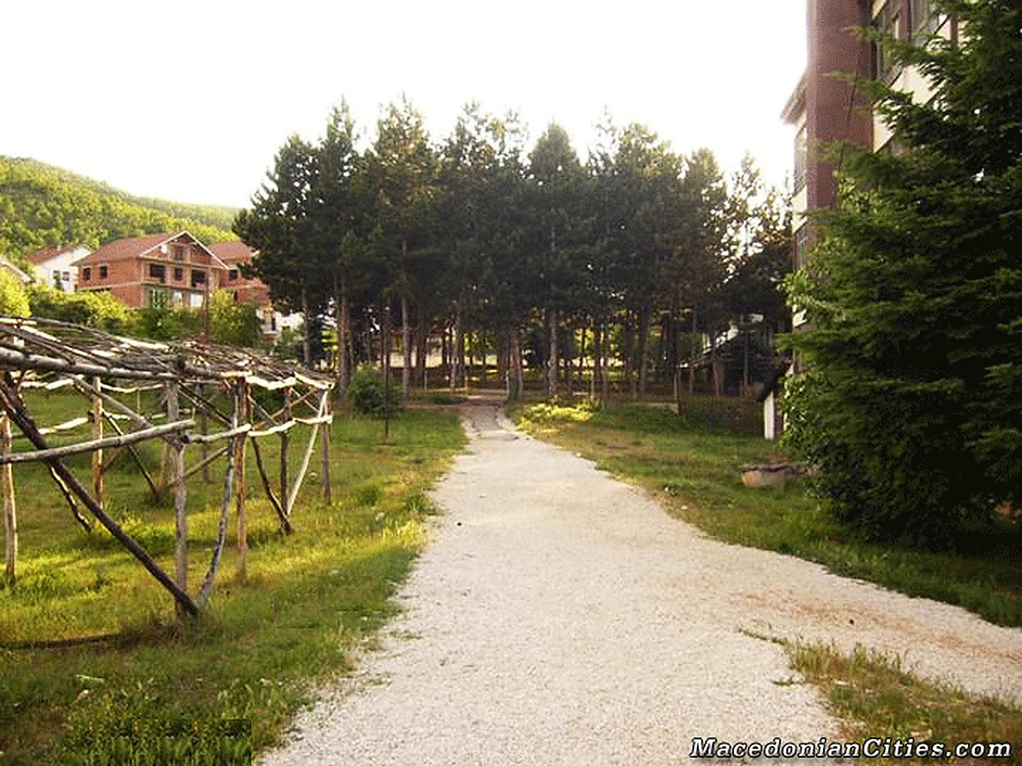
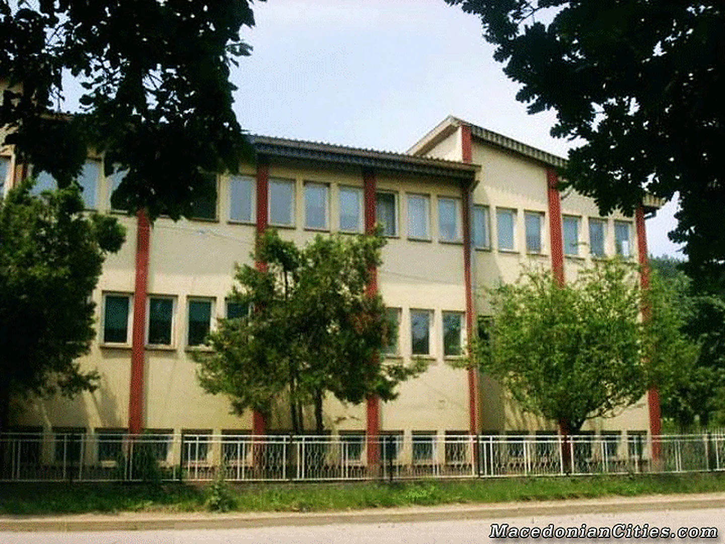
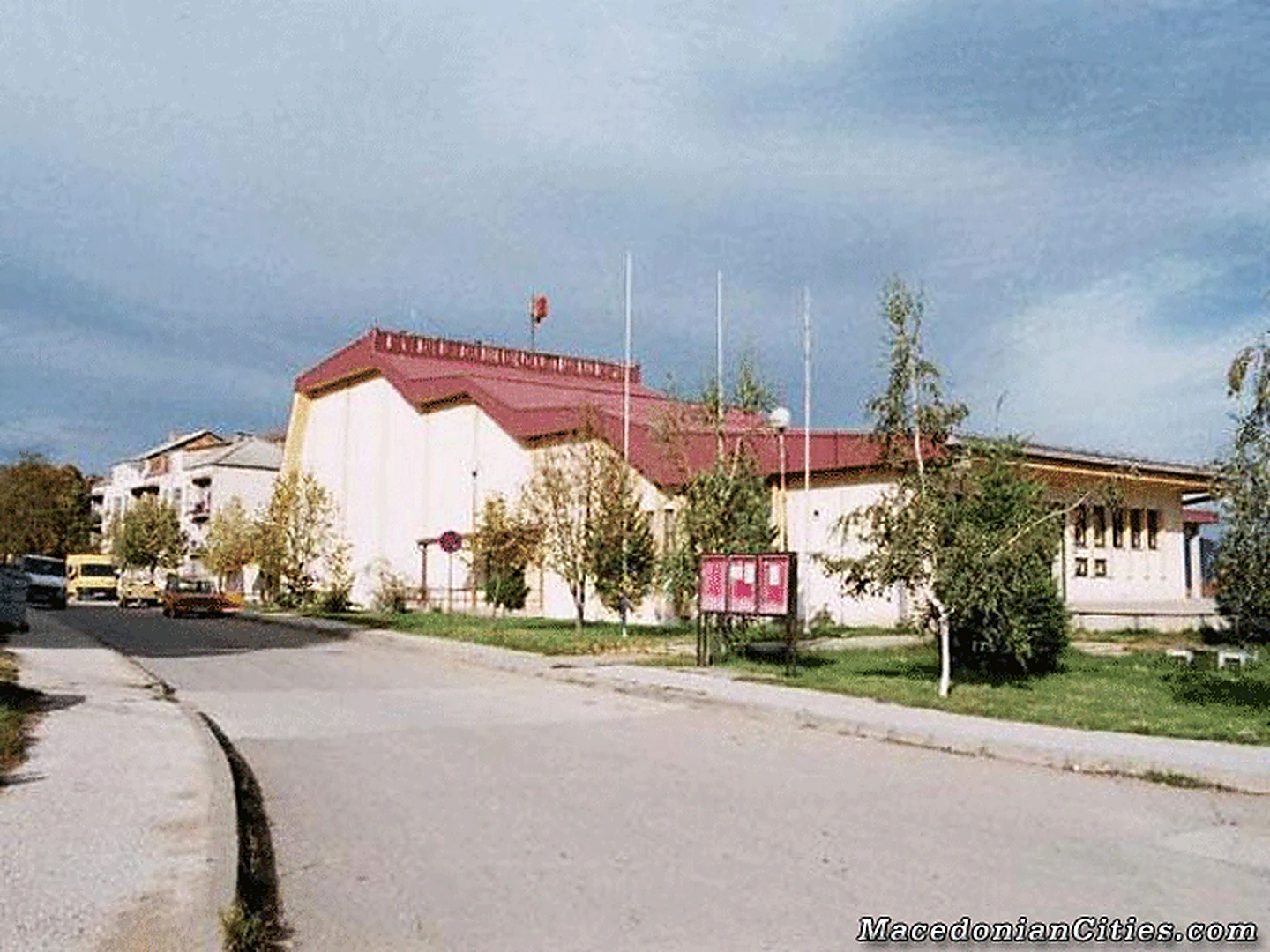
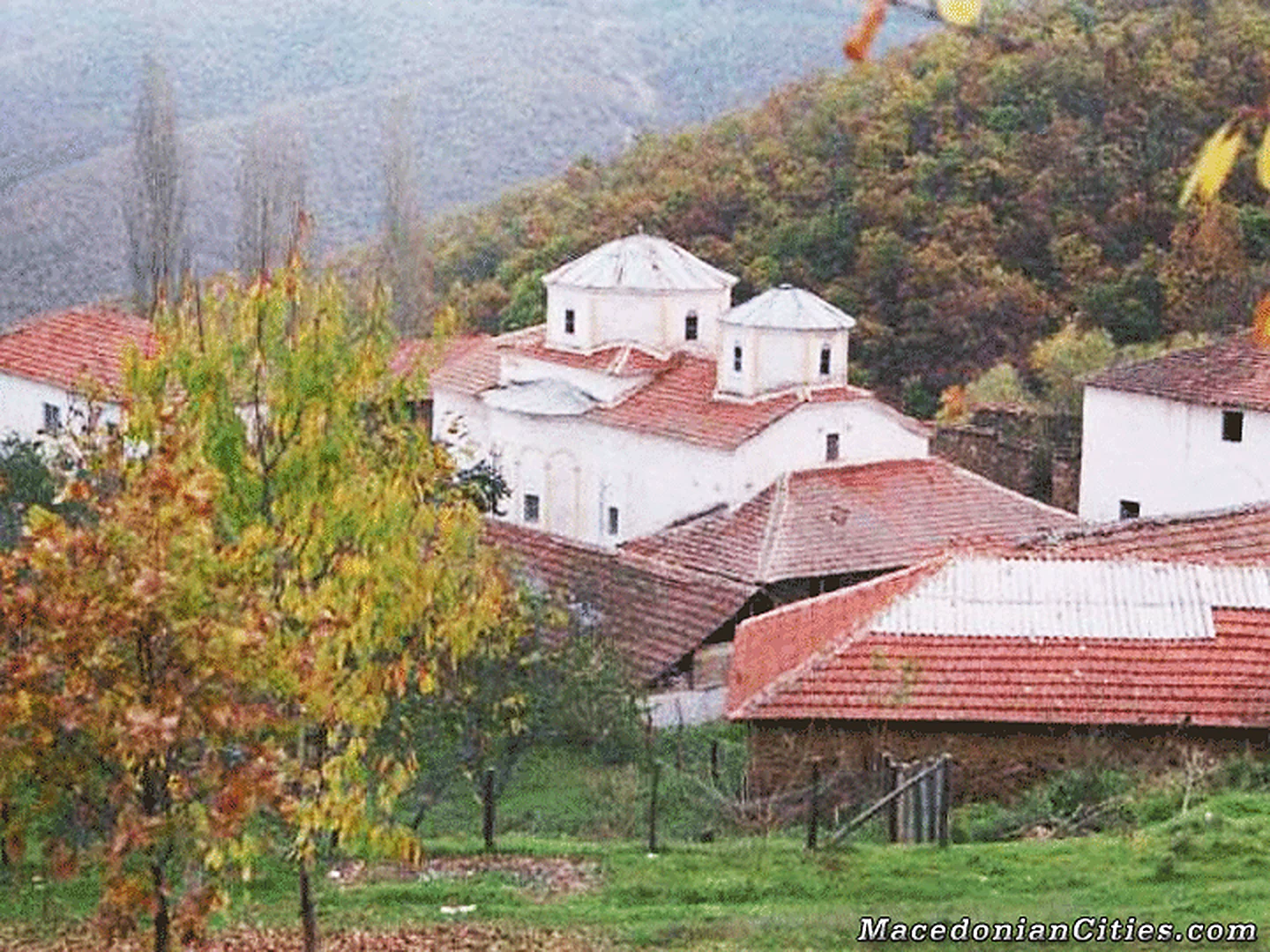
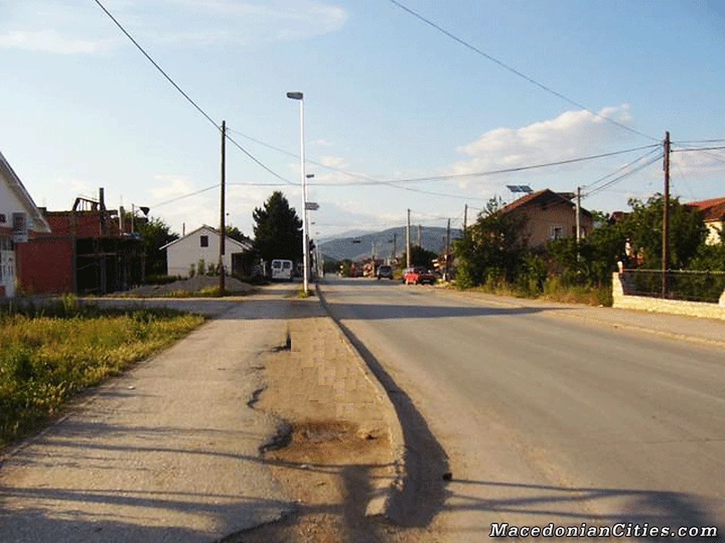
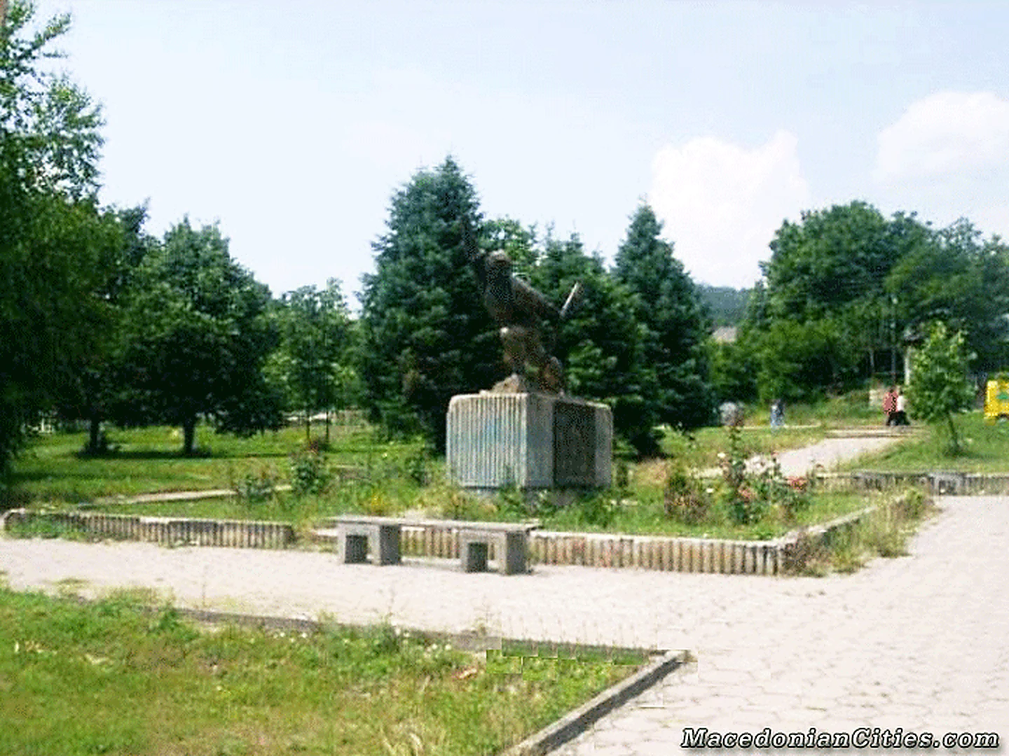
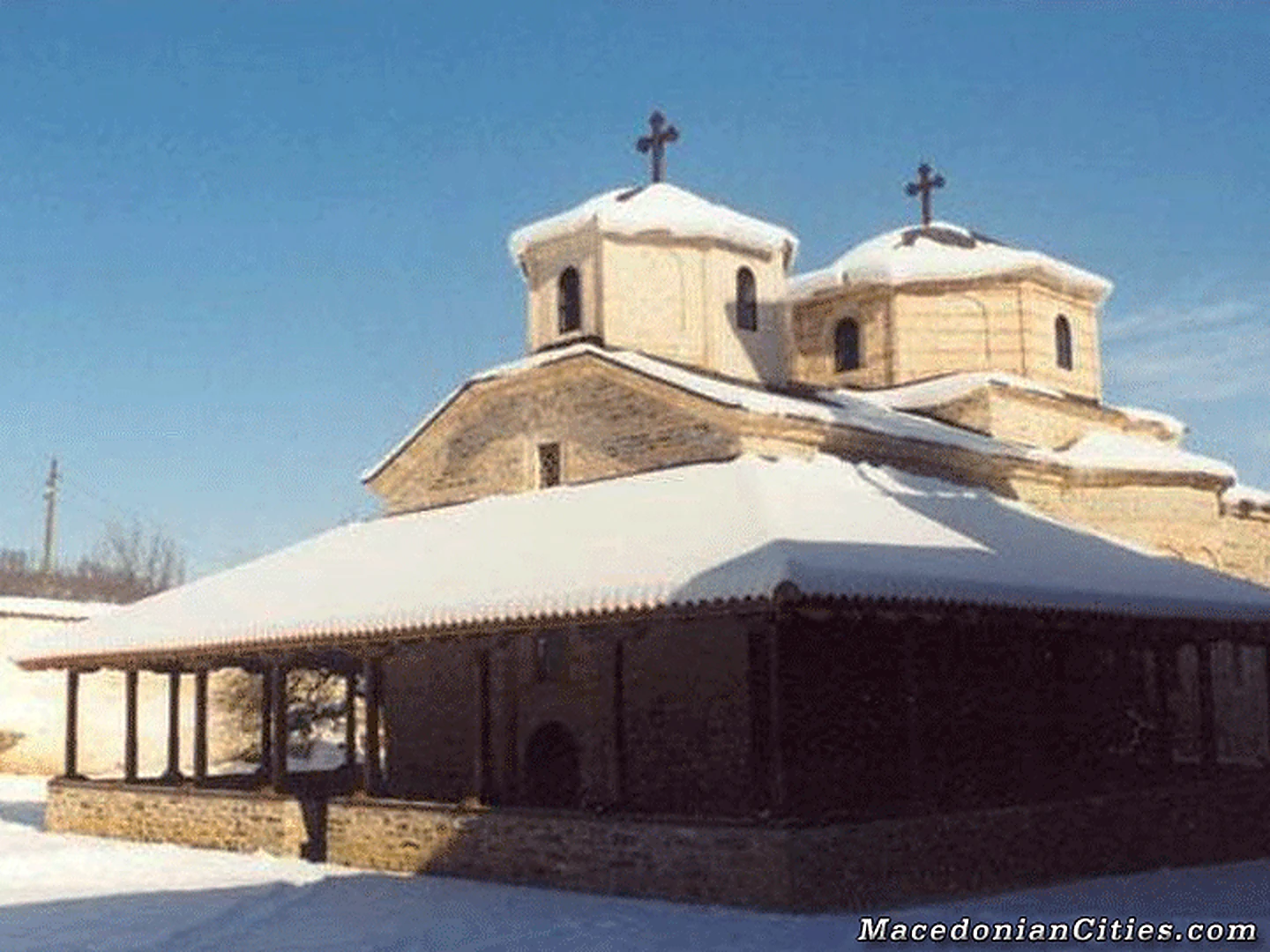
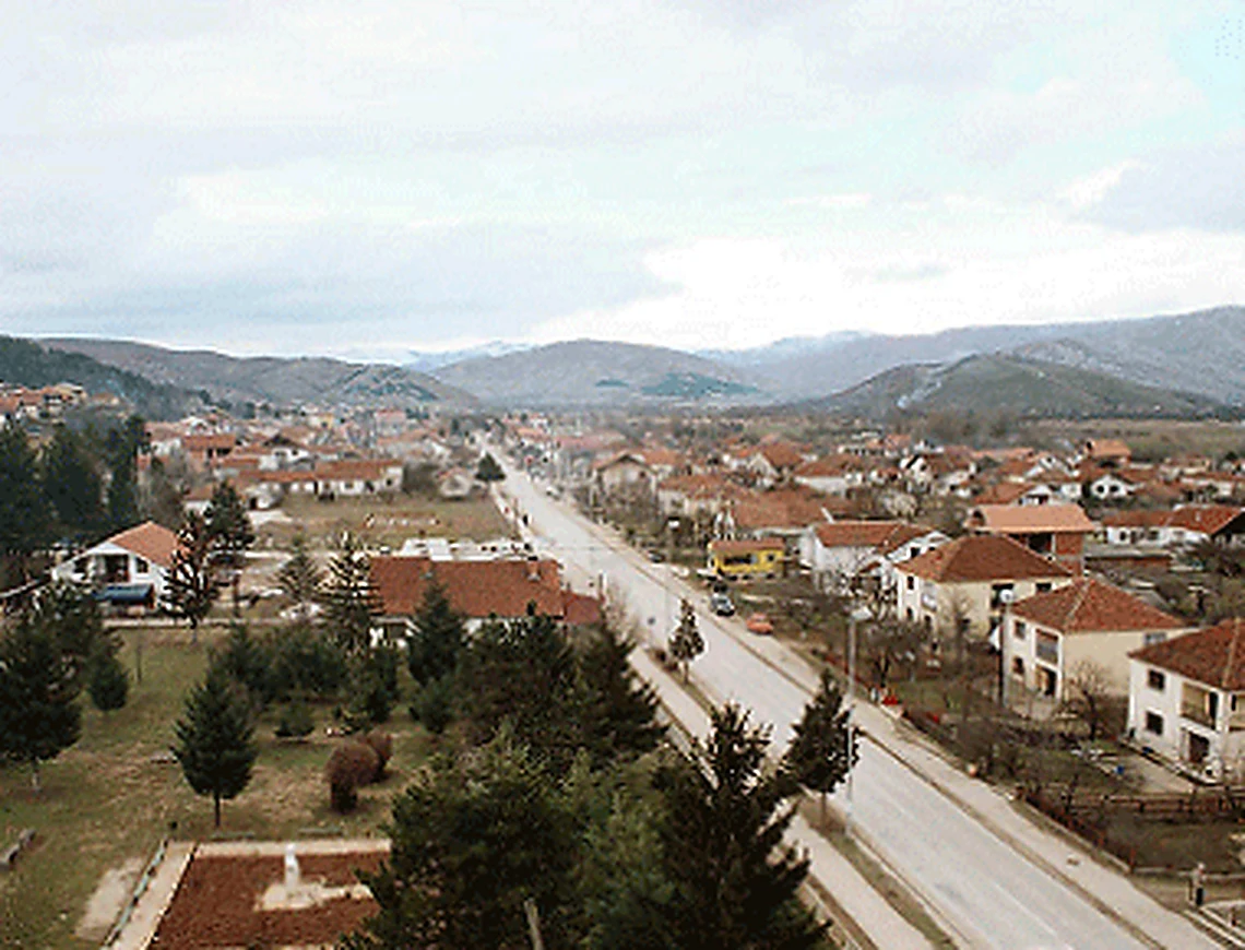
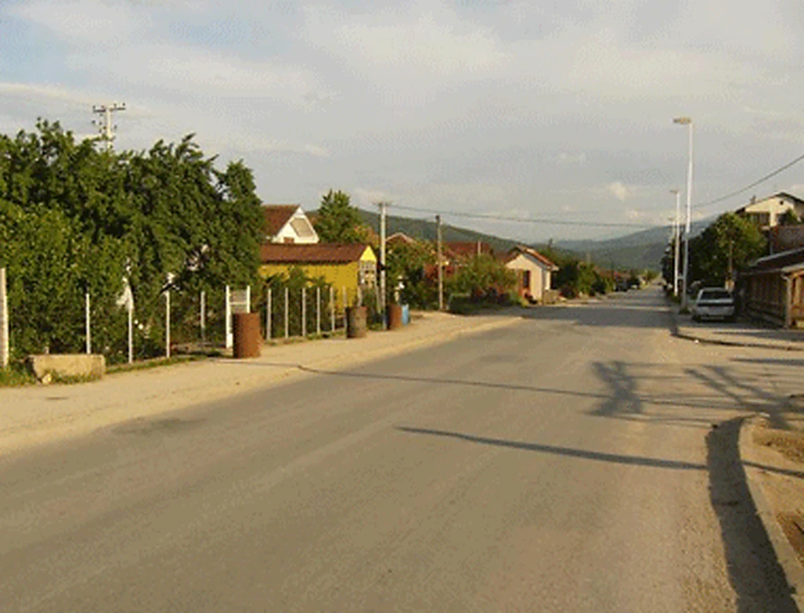
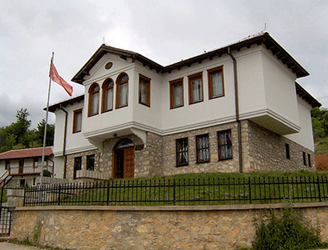
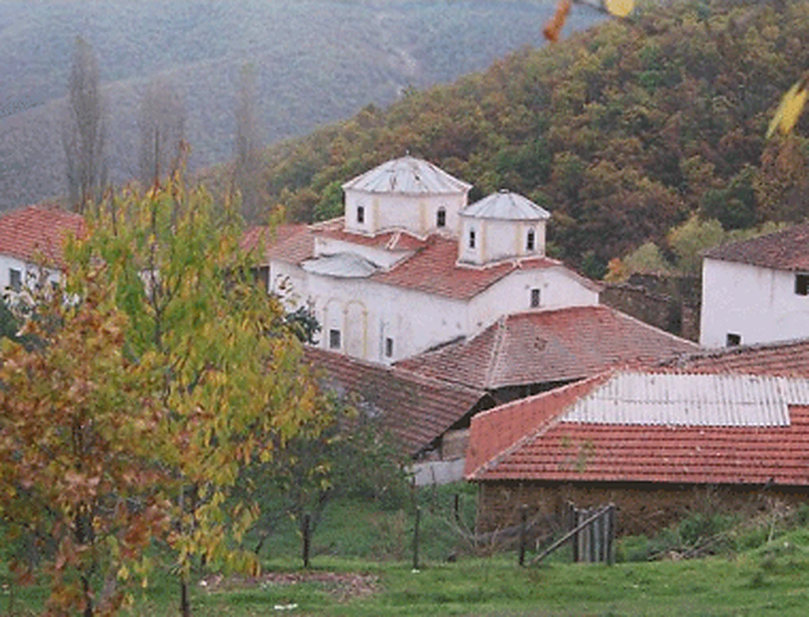
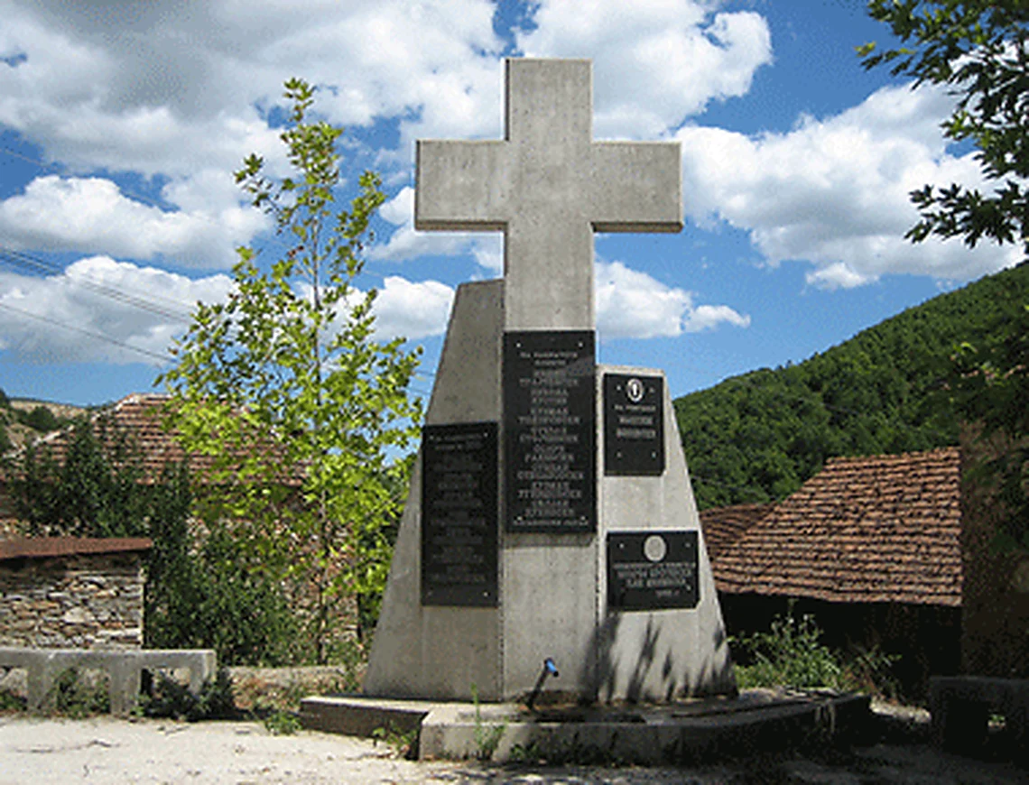
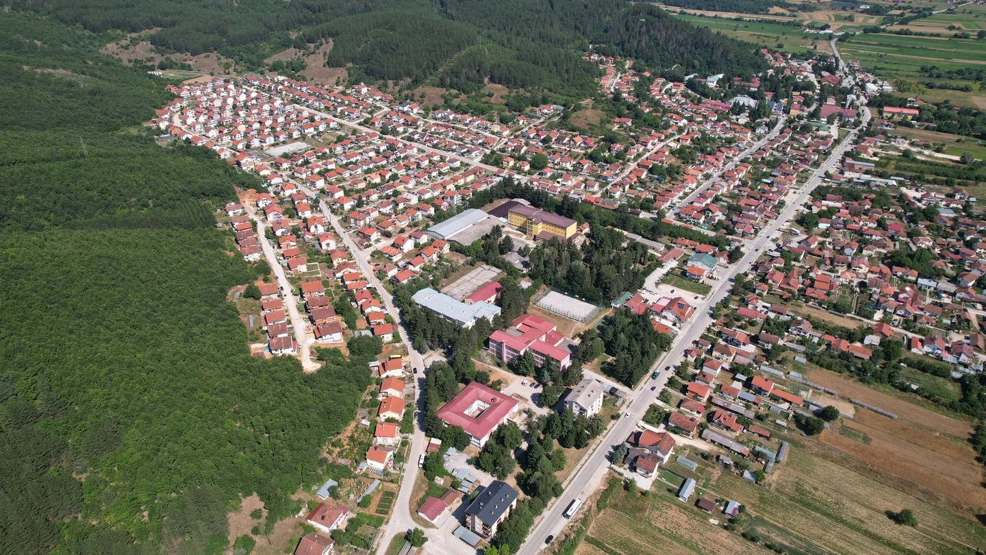
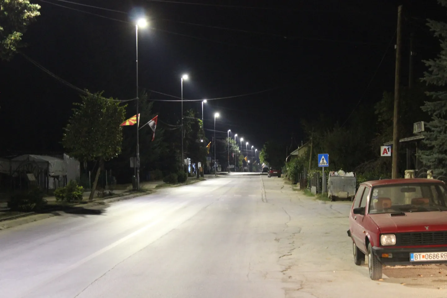
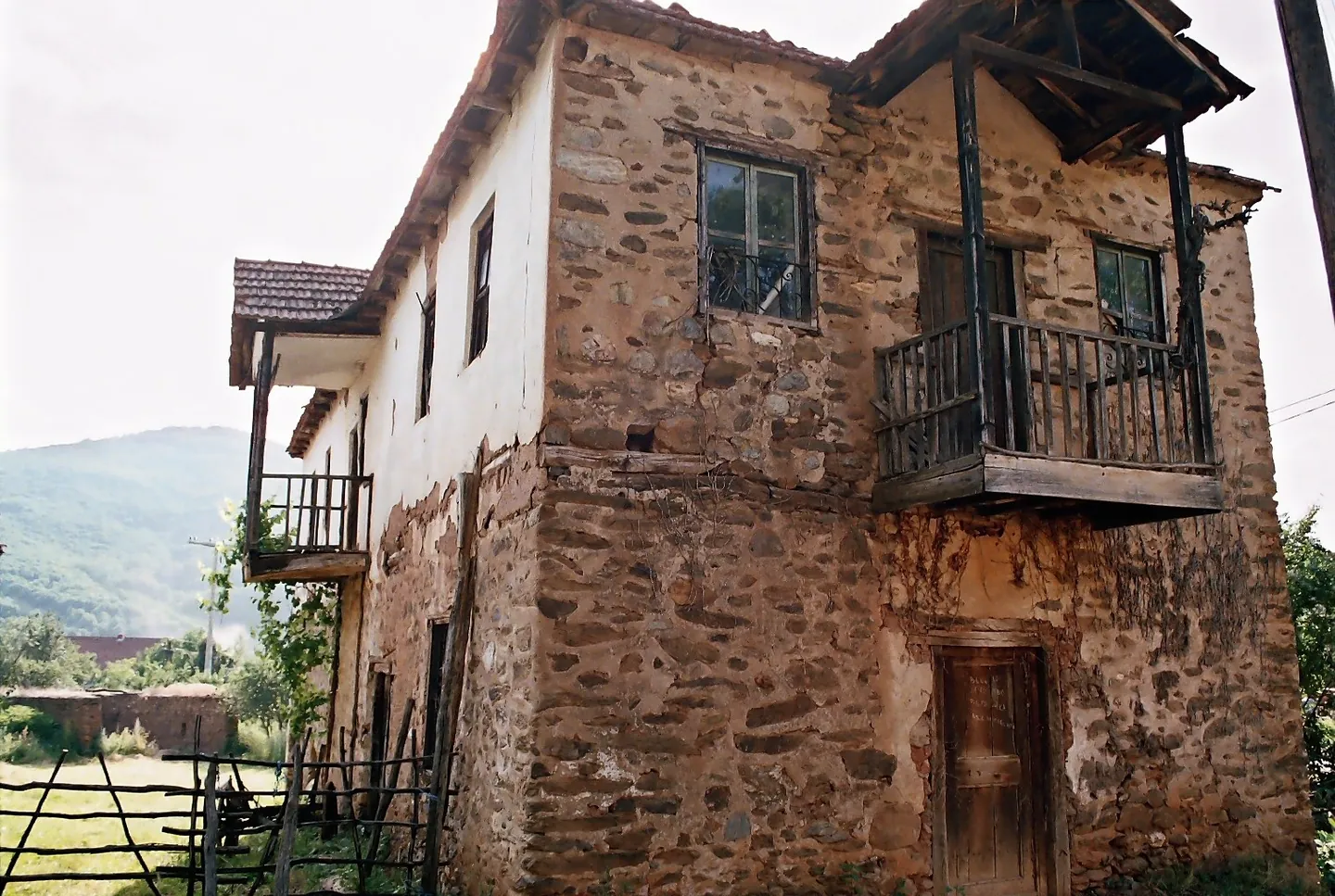
Photo credits
- Demir Hisar: an aerial view of red-roofed streets running along a forested hillside and farmland. Photo: Деан ЛазаревскиCC BY-SA 4.0Wikimedia Commons
- Demir Hisar: the R1305 road through town at night, lit by street lamps, with a red car parked at the kerb. Photo: Lan G.CC BY-SA 4.0Wikimedia Commons
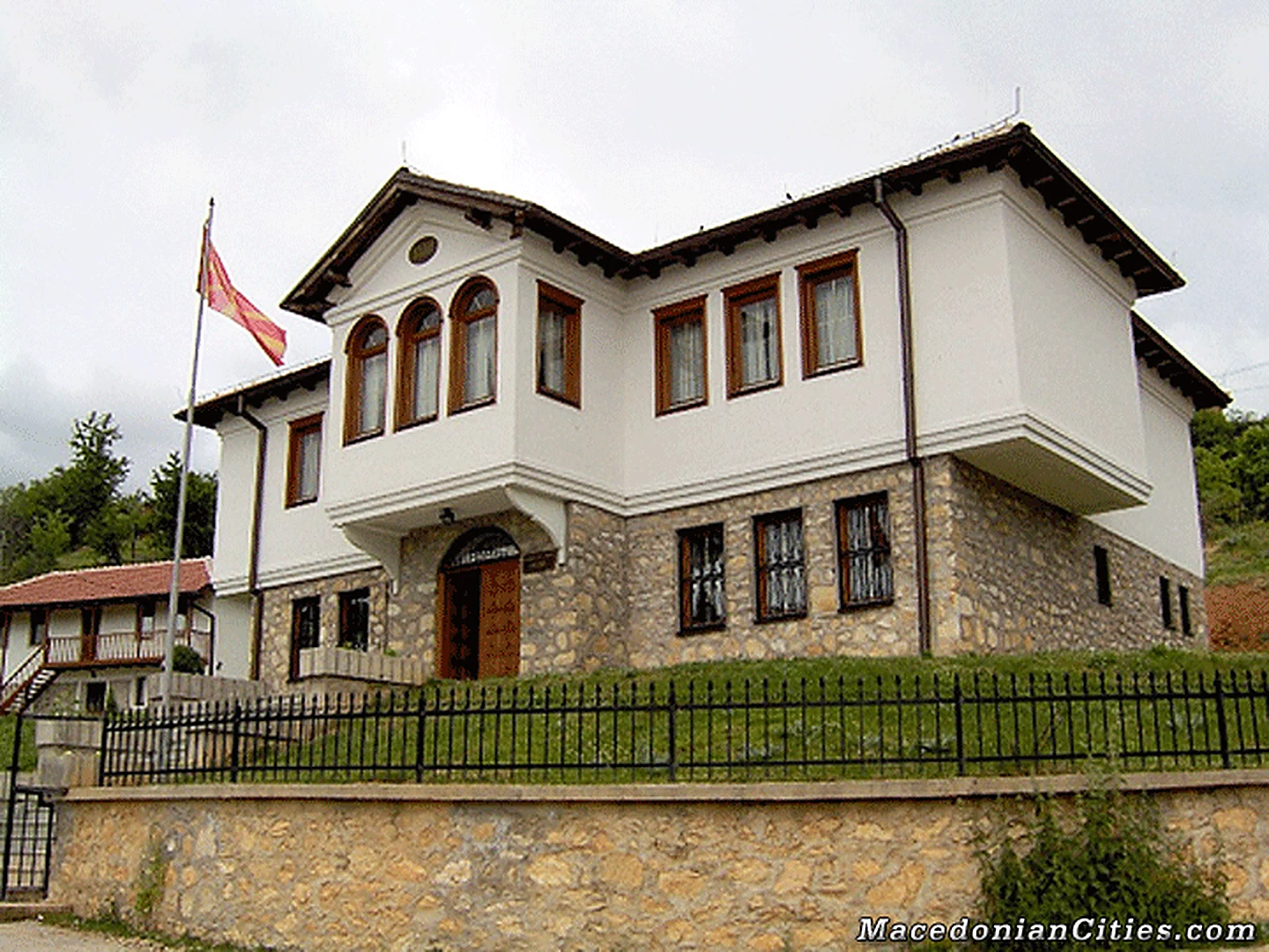
- Demir Hisar: an old two-storey stone house with a wooden balcony and a roof of timber beams, hills behind. Photo: GocedelcevdhPublic domainWikimedia Commons


