
Pelagonia
Prilep
Прилеп

- Residents · 2021 census
- 63,308
- Old photographs
- 34
- Photographs
- 36
Tobacco country, granite towers and medieval memory
Prilep sits on the northern side of the Pelagonia plain, where broad agricultural land meets striking granite outcrops. The city is the centre of one of North Macedonia's largest municipalities by area and has long been associated with oriental tobacco, food processing, marble and regional trade.
Overview
City overview
Meet Prilep.
A grounded introduction to the city, its landscape, people, history and wider municipality.
Prilep sits on the northern side of the Pelagonia plain, where broad agricultural land meets striking granite outcrops. The city is the centre of one of North Macedonia's largest municipalities by area and has long been associated with oriental tobacco, food processing, marble and regional trade.
The surrounding landscape preserves evidence from many periods. Ancient Styberra, near present-day Chepigovo, was an important settlement in the Pelagonian world, while the towers above modern Prilep developed into a medieval stronghold closely associated with King Marko and the Mrnjavchevikj family.
Under Ottoman rule Prilep became a market and craft centre with a bazaar, clock tower, mosques, churches and growing educational life. The city also became a centre of the Macedonian cultural revival; folklorist Marko Cepenkov and other writers and teachers collected and published the region's oral traditions. On 11 October 1941 an armed action in Prilep became the symbolic date commemorated as the beginning of the anti-fascist uprising in Macedonia.
Modern Prilep combines industry and agriculture with a dense cultural landscape. Markovi Kuli, the old bazaar, the Tobacco Museum, the Museum of the 11 October Uprising, the Varosh quarter and the mountain monastery of Treskavec connect the city to its layered past, while festivals, contemporary theatre and outdoor recreation keep those places active rather than frozen as monuments.
The 2021 census counted 63,308 residents in Prilep itself and 69,025 across the wider municipality; 5,717 people lived outside the city settlement. That distinction between the urban centre and its surrounding communities is important in Macedonian demographic reporting and in understanding everyday local life.
At a glance
Useful facts, in one place.
Settlement and municipality figures are kept distinct wherever sources permit.
- Municipality
- Prilep Municipality
- City population
- 63,308
- Municipality population
- 69,025
- Population year
- 2021
- Municipal area
- 1,194.44 km²
- Elevation
- 620 m
- Approx. road distance from Skopje
- 130 km
- Postal code
- 7500
- Climate
- Temperate continental climate with hot, relatively dry summers, cold winters and strong seasonal temperature contrasts across the Pelagonia basin.
- Sports teams
-
- HC Prilep
- FK Pobeda Prilep
- Mega Basket Junior Prilep
- Culture
-
- Prilep's oriental tobacco tradition shaped the city's economy and is interpreted by a specialist Tobacco Museum.
- The Vojdan Chernodrinski Macedonian Theatre Festival is one of the country's principal theatre events.
- Markovi Kuli and the monasteries around the granite mountains form a distinctive cultural landscape above the city.
- Population snapshot
- 63,308 city residents and 69,025 municipality residents in the 2021 census; 5,717 lived outside the city settlement.
- Statistical region
- Pelagonia
- Settlements
- 59
- Villages
- 58
- Municipal area note
- One of North Macedonia's geographically largest municipalities
Known for
The city's signature.
Landmarks, foods, landscapes and traditions that give Prilep its character.
- Marko's Towers and the medieval Varosh quarter
- Oriental tobacco and the Tobacco Museum
- White marble from the Prilep area
- Treskavec Monastery and medieval churches
- 11 October anti-fascist memorial tradition
Geography
Geography
Land shapes the city.
Terrain, waterways, climate and transport explain why Prilep grew where it did.
Prilep occupies the northern part of the Pelagonia plain, generally around 620 to 680 metres above sea level. Broad agricultural land opens south and west, while pale granite outcrops rise abruptly beside the city. The most dramatic of these formations carries Marko's Towers, where weathered blocks, ridges and defensive walls create a skyline that is both geological landmark and historical symbol.
The basin has hot, comparatively dry summers and cold winters, conditions well suited to the aromatic oriental tobacco for which Prilep became famous. Roads through the Pletvar and other passes connect the city with central Macedonia, while routes across Pelagonia lead toward Bitola and the southern Balkans. The municipality extends far beyond the urban edge into villages, farmland and upland Mariovo country, giving Prilep an unusually large and varied hinterland.
History
History
A concise, rewritten account.
Written afresh from cross-checked municipal, archaeological, heritage and institutional sources—not copied website text.
Ancient settlements around Prilep include Styberra near Chepigovo and several other documented sites across northern Pelagonia. The town itself first appears in written sources in the early eleventh century. Its strategic position became especially important in the Middle Ages, when a fortified settlement developed around the granite hill above Varosh. In the late fourteenth century the area was ruled by King Marko, whose historical presence and later life in South Slavic epic tradition made Marko's Towers inseparable from Prilep's identity.
Under Ottoman rule the inhabited centre shifted and expanded onto the plain. By the nineteenth century Prilep had a busy bazaar, clock tower, craft quarters and strong trading links. The town also became active in education, publishing and the cultural revival. During the Second World War, the partisan attack of 11 October 1941 in Prilep came to be commemorated as the beginning of the organized anti-fascist uprising in Macedonia.
Post-war industry enlarged the city, above all through tobacco processing, metalworking and nearby marble extraction. Cultural institutions such as the Tobacco Museum and the Institute of Old Slavic Culture give scholarly form to subjects that remain visible in everyday Prilep: tobacco leaves drying in season, medieval churches around Varosh, the old bazaar and the great granite mass above the streets.
The preserved legacy narrative
Open the preserved legacy narrative
Historical sources first mention Prilep in 1014. The city and its surrounding territory occupied one of the most important strategic, political and military positions in this part of the Balkans. Major routes across Pelagonia connected the Greek lands with the Adriatic coast.
The inherited account links Prilep with the ancient Via Egnatia and Via Militaris and describes it as a natural junction within the wider Balkan road network. It also says that the shortest commercial route between merchants from Venice and Dubrovnik and those in Thessaloniki passed through the area. Over the centuries the region absorbed Hellenistic, Roman, Byzantine, Slavic and other cultural layers. These broad statements about individual road alignments should be checked against specialist historical geography.
The account identifies Bedem at Čepigovo, Bezisten between Prilepec and Volkovo, and several sites within the city as the most representative monumental complexes from antiquity. The names and dating in this inherited list require archaeological verification.
Remains associated with ancient towns including Styberra, Alcomena, Keramia and Colobansa have been found in the wider region.
The medieval period is also strongly represented in the cultural and historical record. The inherited text names the thirteenth-century Church of Saint Nicholas; the Church of the Dormition of the Mother of God at Treskavec Monastery, with painted layers from the fifteenth, sixteenth and nineteenth centuries; and the monastery centred on the Church of the Transfiguration at the village of Zrze.
The city itself is presented as the most important cultural and historical site. It was the centre of a larger political and territorial organization and a strategic place where Tsar Samuel is said to have stayed. The settlement occupied the area between the hill of Marko's Towers and the surrounding localities of Podkuli, Varosh and Zagrad. The inherited account claims that the fortified hill held one of the five largest palace complexes in the Balkans, with three defensive levels, numerous buildings and several gates; the comparative ranking should be treated as a legacy assertion rather than an established classification.
Prilep experienced major development during the last quarter of the thirteenth and first half of the fourteenth century. Monuments cited from this broader period include excavated remains of a tenth-century Slavic settlement and the Church of the Holy Archangel Michael, with medieval fresco painting. In the fifteenth century a commercial centre developed around the celebrated Old Bazaar. The precise dating of individual architectural and painted phases should be verified monument by monument.
During the period of Macedonian cultural and national revival, Prilep became an important centre of Slavic literacy, literature and culture. Educational work was associated with Macedonian teachers including Jordan Hadži Konstantinov-Džinot, Dimitar Miladinov, Rajko Žinzifov and Kuzman Šapkarev. The town was also profoundly influenced by Marko Cepenkov, the noted collector of Macedonian folk songs, stories, legends, beliefs and riddles.
During the Ilinden period, Prilep was a centre of the Macedonian national liberation movement. The inherited account says that about fifty revolutionaries came from the city, naming Pere Tošev, Ǵorče Petrov and Petar Acev among them.
On 11 October 1941, an attack on the police station in Prilep marked the beginning of the armed anti-fascist uprising associated with the Macedonian people's struggle for national liberation. The Mound of the Unbeaten is one of the city's principal war memorials. The inherited account says it contains the remains of more than 650 fighters, bearing witness to the large and sacrificial participation of people from Prilep in the Second World War.
Prilep's strongest period of growth came during the free post-war development, when it became a substantial political, administrative, cultural, educational, scientific and commercial centre in Macedonia.
Profile sources (19)
- prilep.gov.mk/opshti-informatsii
- prilep.gov.mk/opshti-informatsii/kultura/spomenichno-nasledstvo
- prilep.gov.mk/markovite-kuli-proglaseni-za-spomenik-na-prirodata1
- ripz.moepp.gov.mk/Uploads/PDFFiles_Planovi/14.%20Plan%20za%20vozduh%20Prilep%202023-2027.pdf
- prilep.gov.mk/wp-content/uploads/2024/02/lap-prilep_mk-final.pdf
- prilep.gov.mk/opshti-informatsii/klima/klima-turizam
- prilep.gov.mk/wp-content/uploads/2022/04/strategija-za-klimatski-promeni-opstina-prilep-finalna-22.03.2017.pdf
- prilep.gov.mk/od-ponedelnik-kje-pochne-izgradbata-na-vodovodniot-sistem-vo-treskavec
- eprints.ugd.edu.mk/35248/1/THE%20ROLE%20OF%20MONASTERIES%20AND%20CHURCHES%20IN%20THE%20MUNICIPALITIES%20OF%20PRILEP%2C%20KRUSHEVO%2C%20DOLNENI%2C%20AND%20KRIVOGASHTANI%20IN%20TOURISM%20AND%20REGIONAL%20DEVELOPMENT.pdf
- makstat.stat.gov.mk/PXWeb/pxweb/en/MakStat/MakStat__Popisi__Popis2021__NaselenieVkupno__PodatociNaselenie/T1501P21.px
- sobranie.mk/former-presidents.nspx
- mtf.com.mk/en/author-in-focus-2
- toseproeski.org.mk
- vlatkostefanovski.com
- imdb.com/name/nm5048650
- olympedia.org/athletes/126288
- national-football-teams.com/player/59527/Ezgjan_Alioski.html
- mpc.org.mk/english/monasteries.asp
- maps-of-power.oeaw.ac.at/projects/barbyz_10-13/explore/reference/134187
Interesting Facts
Interesting facts
Details worth remembering.
Local landmarks, customs, foods and historical details that reward a closer look at Prilep.
-
A municipality of fifty-nine settlements
Prilep Municipality covers 1,194.44 square kilometres and comprises the city plus 58 villages spread across Pelagonia, the Dren and Mariovo landscapes.
-
Markovi Kuli
The granite heights above Prilep preserve the remains of a medieval fortress associated with King Marko and offer one of the country's most recognizable cultural landscapes.
-
Tobacco as heritage
Prilep's fine-leaf oriental tobacco became internationally known, and the city's Tobacco Museum documents cultivation, processing and smoking culture through a specialist collection.
-
The meaning of 11 October
An armed action in Prilep on 11 October 1941 became the nationally commemorated starting point of the anti-fascist uprising in Macedonia during the Second World War.
-
Ancient Styberra
The archaeological site of Styberra near Chepigovo preserves the remains of an important ancient Pelagonian city, including public buildings and inscriptions.
-
Treskavec above the plain
Treskavec Monastery occupies a dramatic high site below Zlatovrv, where medieval church art, monastic heritage and wide views over Pelagonia meet.
People
Celebrities
Lives linked to the city.
Writers, musicians, artists, athletes, public figures and historical personalities with a clearly stated connection to Prilep.
- Notable person King Marko Fourteenth-century ruler whose residence and fortress above Prilep inspired a vast cycle of regional legends.
- Notable person Blazhe Koneski Linguist, poet and central figure in the codification of standard Macedonian, born in nearby Nebregovo in Prilep Municipality.
- Notable person Marko Cepenkov Prilep-born collector whose extensive records of folklore, language and customs preserve nineteenth-century Macedonian cultural life.
-
Metodija Andonov-Chento history and politics
Born in Prilep and active in the city's commercial and political life before the Second World War.
Political figure and first president of the Presidium of ASNOM in 1944.
Source -
Kole Chashule literature and theatre
Born in Prilep.
Playwright, novelist, essayist and diplomat whose work helped shape modern Macedonian drama.
Source -
Marko Cepenkov folklore and literature
Born in Prilep and collected much of his material in the city and surrounding region.
Folklorist, writer and collector whose large body of tales, songs, beliefs and customs is fundamental to Macedonian ethnography.
Source -
Toshe Proeski music
Born in Prilep and raised in nearby Krushevo, where his memorial complex is located.
Singer and humanitarian whose recordings made him one of the best-known Macedonian popular musicians.
Source -
Vlatko Stefanovski music
Born in Prilep.
Guitarist and composer known for blending rock, jazz and Balkan musical traditions.
Source -
Tamara Kotevska film
Born in Prilep.
Filmmaker and co-director of the Academy Award-nominated documentary Honeyland.
Source -
Hristina Risteska sport
Born in Prilep.
Sprinter who represented North Macedonia in the women's 400 metres at the 2012 Olympic Games.
Source -
Ezgjan Alioski sport
Born in Prilep.
Professional footballer and North Macedonia international who has played in England, Switzerland, Turkey and Saudi Arabia.
Source -
King Marko medieval history
Ruled from the fortress above Prilep; this is a historical association, not a claim that he was born in the modern city.
Late medieval ruler remembered in regional history and South Slavic epic tradition.
Source
Villages & Monasteries
Villages
The wider municipality.
Every verified village and rural settlement in the current municipal scope, followed by known monasteries in the surrounding cultural landscape.
58 villages and rural settlements are included.
- Alinci Village in the Pelagonia lowland south of Prilep. Source
- Belovodica Village in the western part of Prilep Municipality. Source
- Berovci Settlement close to Prilep's southern urban edge. Source
- Beshishte Mariovo village in the municipality's rugged southern highlands. Source
- Bonche Village near important archaeological landscapes in the Prilep region. Source
- Veprchani Remote Mariovo village in southern Prilep Municipality. Source
- Veselchani Pelagonia village south of Prilep. Source
- Vitolishte Historic Mariovo service village and gateway to the municipality's southeastern uplands. Source
- Volkovo Rural settlement in Prilep Municipality. Source
- Vrpsko Small village in the Mariovo area. Source
- Galichani Pelagonia village southeast of Prilep. Source
- Golem Radobil Village near the Pletvar corridor in northeastern Prilep Municipality. Source
- Golemo Konjari Large lowland village west of Prilep. Source
- Gugjakovo Small rural settlement in Prilep Municipality. Source
- Dabnica Village immediately north of Prilep beneath the surrounding granite hills. Source
- Dren Village near the southern approaches to Prilep Municipality. Source
- Dunje Mariovo village associated with the dramatic landscapes south of the Pelagonia plain. Source
- Erekovci Lowland village southeast of Prilep. Source
- Zhivovo Remote, sparsely populated Mariovo settlement. Source
- Zagorani Village in the Pelagonia agricultural zone. Source
- Kadino Selo Village west of Prilep in the Pelagonia plain. Source
- Kalen Small Mariovo settlement in southern Prilep Municipality. Source
- Kanatlarci Large, ethnically diverse Pelagonia village south of Prilep. Source
- Klepach Village in the southern Pelagonia lowland. Source
- Kokre Mountain village in the Mariovo area. Source
- Krushevica Mariovo village in the municipality's southeast. Source
- Krstec High village near the mountain corridor north of Prilep. Source
- Lenishta Village in the hills immediately west of Prilep. Source
- Lopatica Rural settlement in northern Prilep Municipality. Source
- Mazhuchishte Village close to Prilep's northern outskirts and the road toward Krushevo. Source
- Mal Radobil Small village near Golem Radobil and the Pletvar corridor. Source
- Malo Konjari Lowland village west of Prilep. Source
- Malo Ruvci Pelagonia village southwest of Prilep. Source
- Manastir Mariovo village near the medieval Saint Nicholas monastic church. Source
- Marul Agricultural village south of Prilep. Source
- Nikodin Village along the Raec and Pletvar route northeast of Prilep. Source
- Novo Lagovo Settlement on Prilep's southern approach. Source
- Oreovec Village beneath the mountains northeast of Prilep. Source
- Peshtani Mariovo-area village in southern Prilep Municipality, distinct from the Lake Ohrid settlement of the same name. Source
- Pletvar Mountain-pass village on the principal road between Prilep and the Vardar valley. Source
- Podmol Small rural settlement in Prilep Municipality. Source
- Polchishte Remote Mariovo village in the municipality's south. Source
- Prilepec Village at the eastern foot of the Markovi Kuli landscape. Source
- Prisad Highland village on the route between Prilep and Makedonski Brod. Source
- Rakle Mariovo settlement in southern Prilep Municipality. Source
- Selce Village on the eastern edge of Prilep below the mountain slopes. Source
- Smolani Rural settlement southeast of Prilep. Source
- Staro Lagovo Village adjoining Novo Lagovo on the southern side of Prilep. Source
- Toplica Village in western Prilep Municipality. Source
- Trojaci Settlement along the road southeast from Prilep. Source
- Topolchani Large Pelagonia village and local service centre south of Prilep. Source
- Trojkrsti Village close to Prilep's southeastern urban edge. Source
- Carevikj Small Mariovo village in southern Prilep Municipality. Source
- Chanishte Mariovo village set among the municipality's southern hills. Source
- Chepigovo Pelagonia village near the archaeological site of ancient Styberra. Source
- Chumovo Village south of Prilep in the Pelagonia plain. Source
- Sheleverci Lowland village southeast of Prilep. Source
- Shtavica Village beneath the Selecka mountain landscape, known as a filming location for Macedonian cinema. Source
Monasteries nearby
Places of continuity.
Verified monastic sites within the municipality or its immediate cultural landscape.
-
Treskavec Monastery
Below Zlatovrv, north of Prilep
Historic mountain monastery centred on the Church of the Dormition, celebrated for medieval painting, architecture and its dramatic granite setting.
Source -
Holy Archangel Michael Monastery
Varosh, Prilep
Monastic complex built into the granite landscape below Markovi Kuli, with a medieval church and surviving frescoes.
Source -
Saint Nicholas Monastery at Manastir
Village of Manastir, Mariovo
Medieval monastic church preserving important Byzantine wall painting in the Mariovo part of Prilep Municipality.
Source -
Zrze Monastery
Village of Zrze, neighbouring Dolneni Municipality
Major medieval monastery north-west of Prilep, included as a nearby regional site but explicitly outside today's Prilep Municipality.
Source
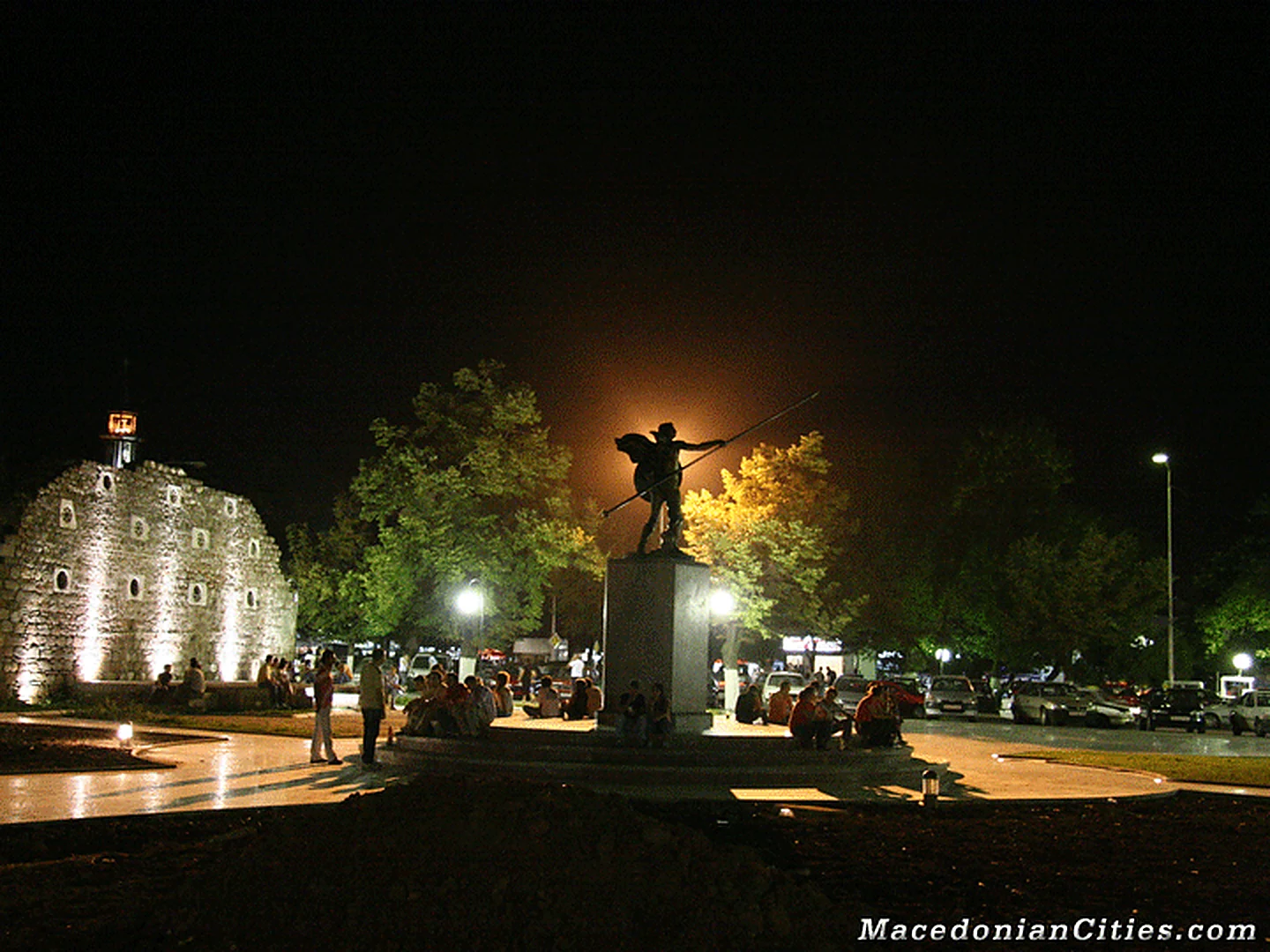
Old Photos (34)
Old Photos
The rare collection.
Every surviving full-size historical file is included, including originals that the old page markup accidentally omitted. Family-preserved originals remain untouched.
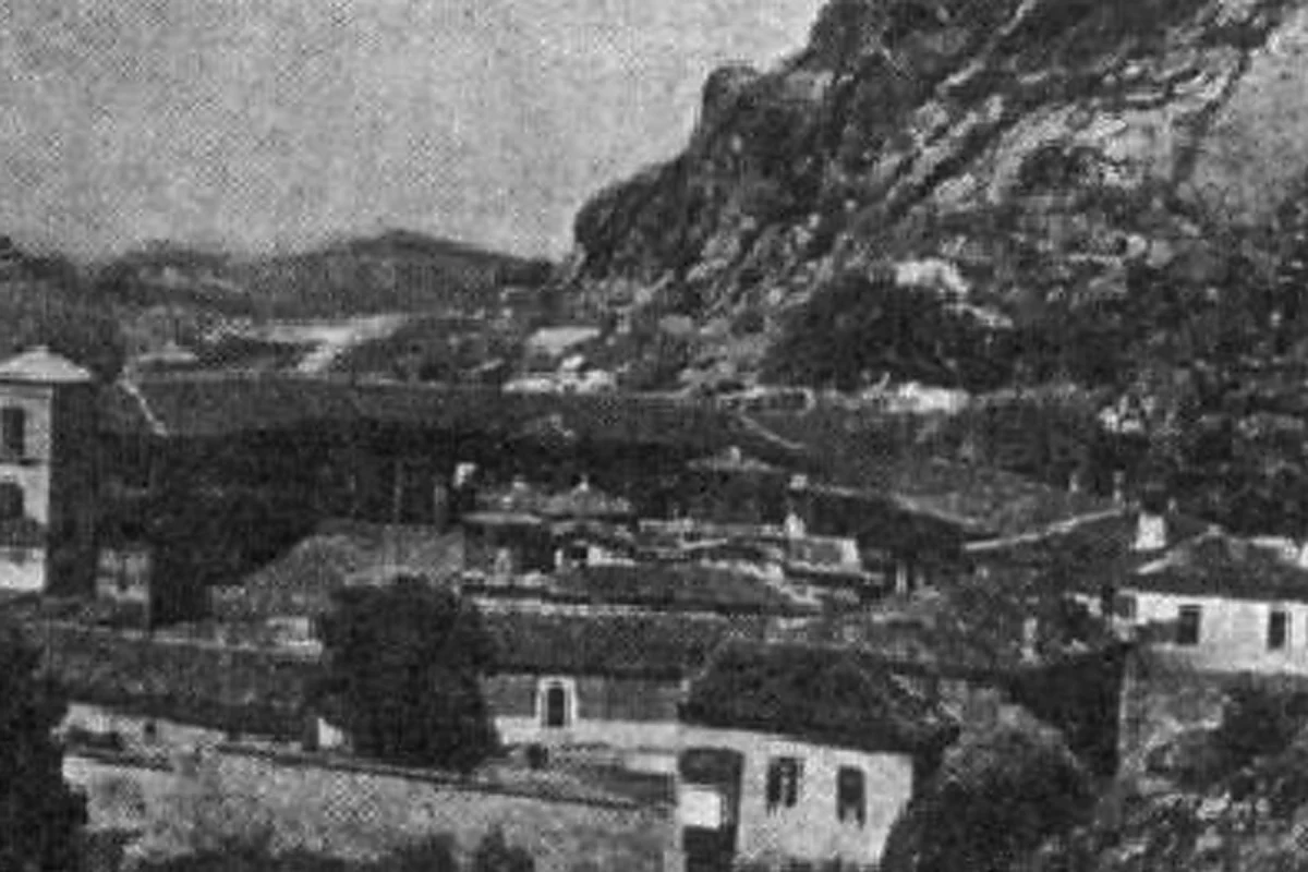
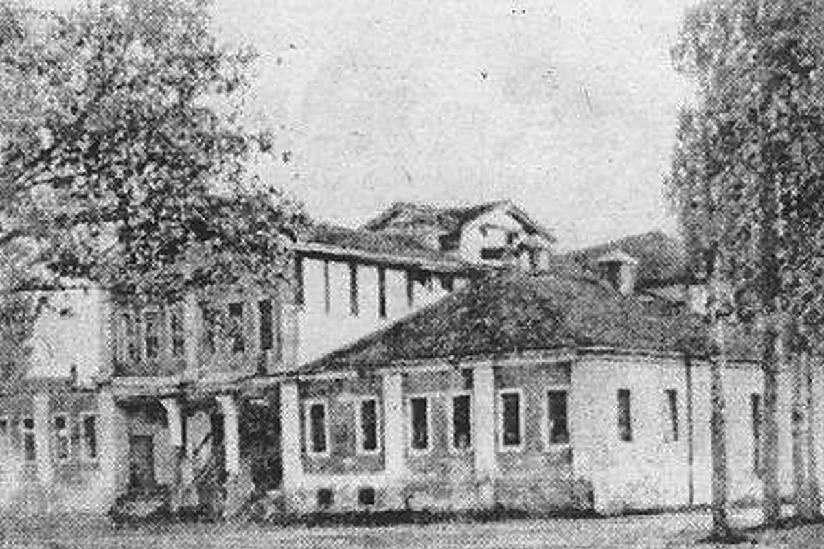
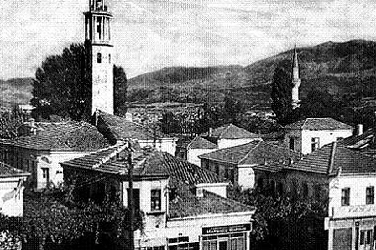
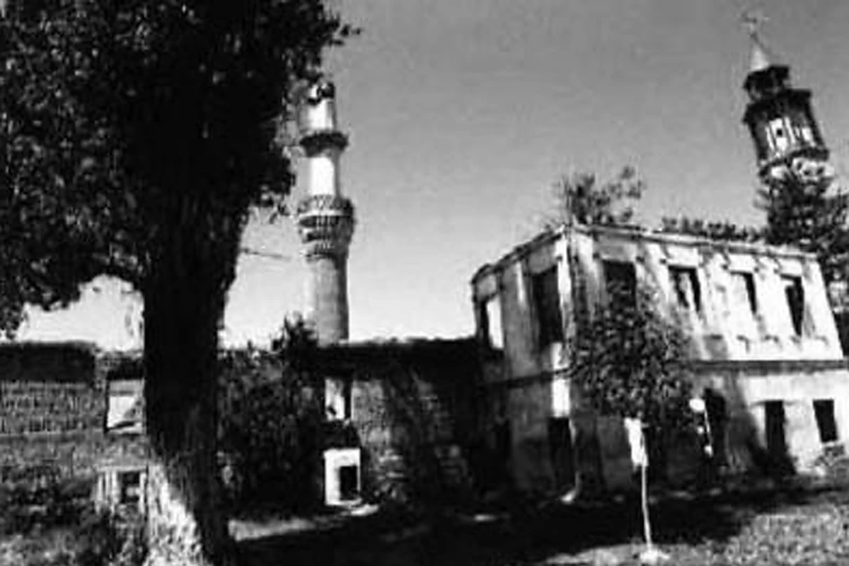
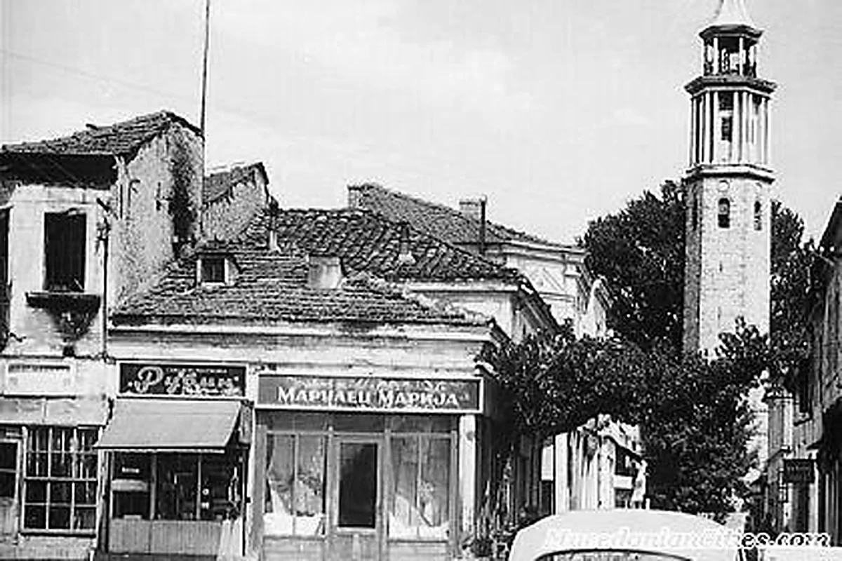
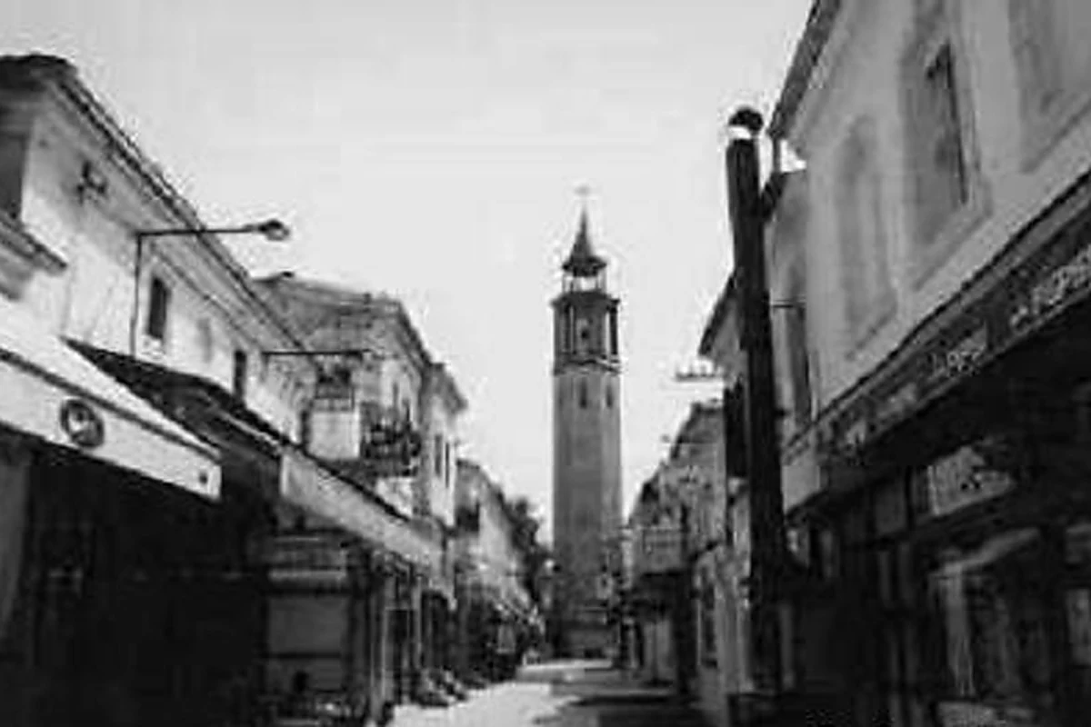
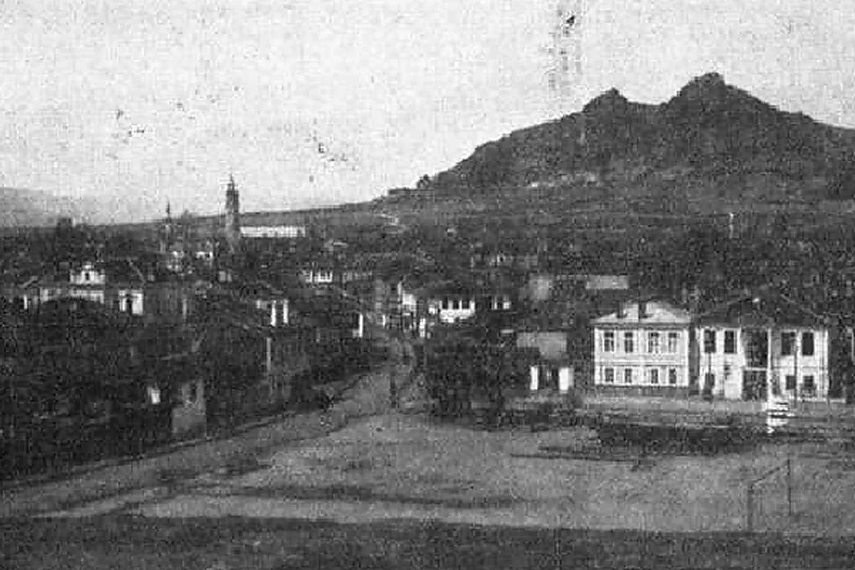
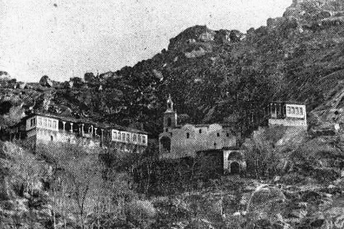
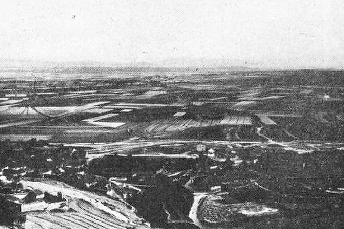
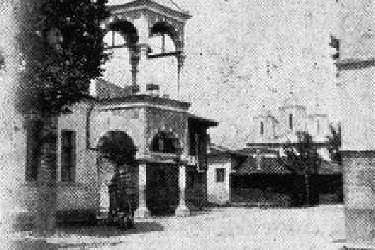
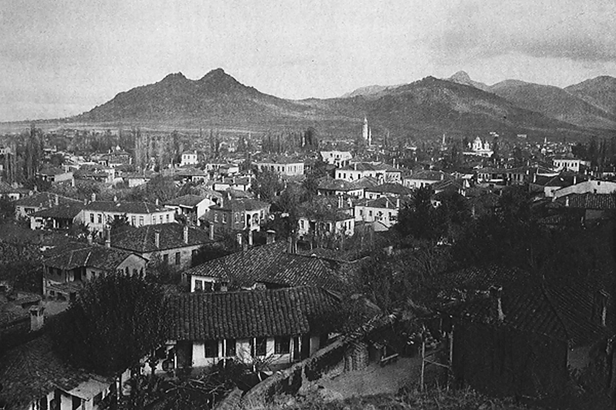
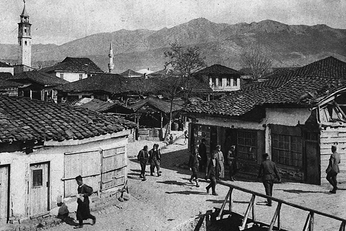
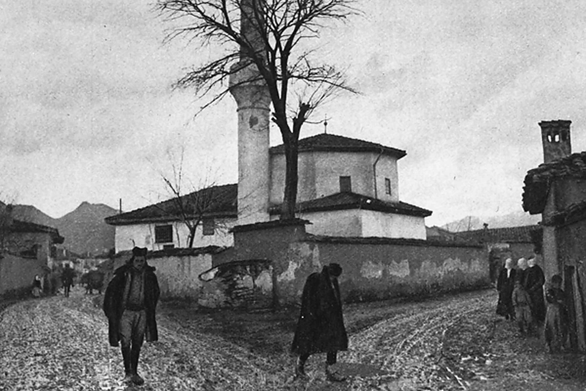
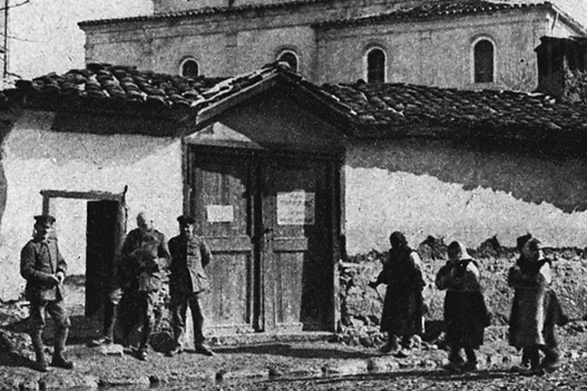
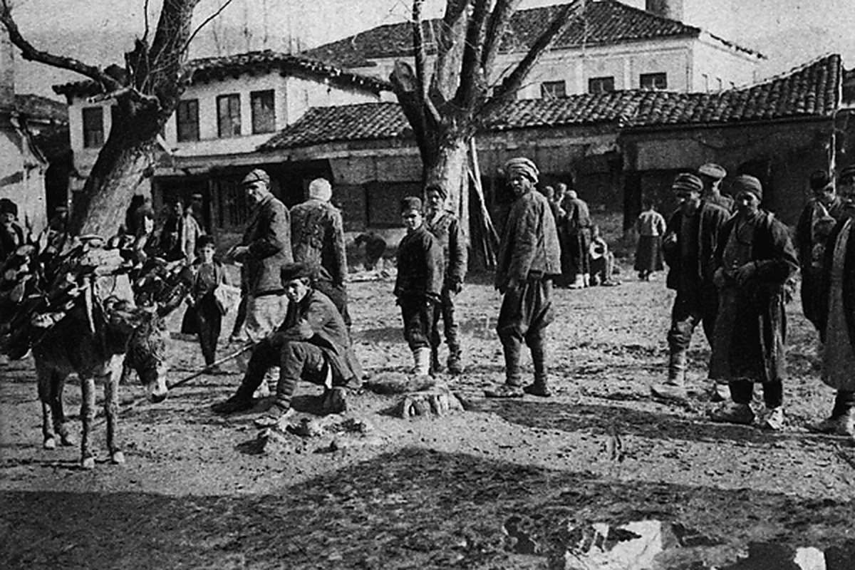
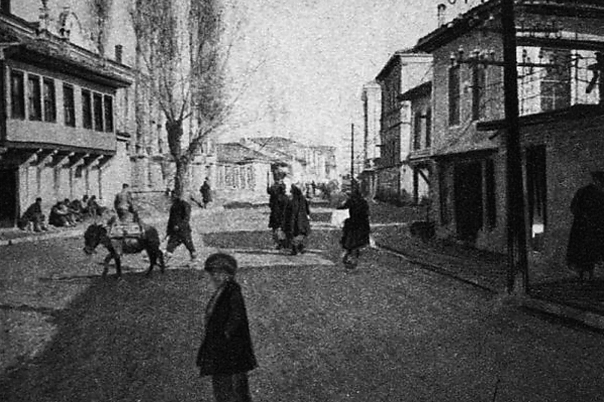
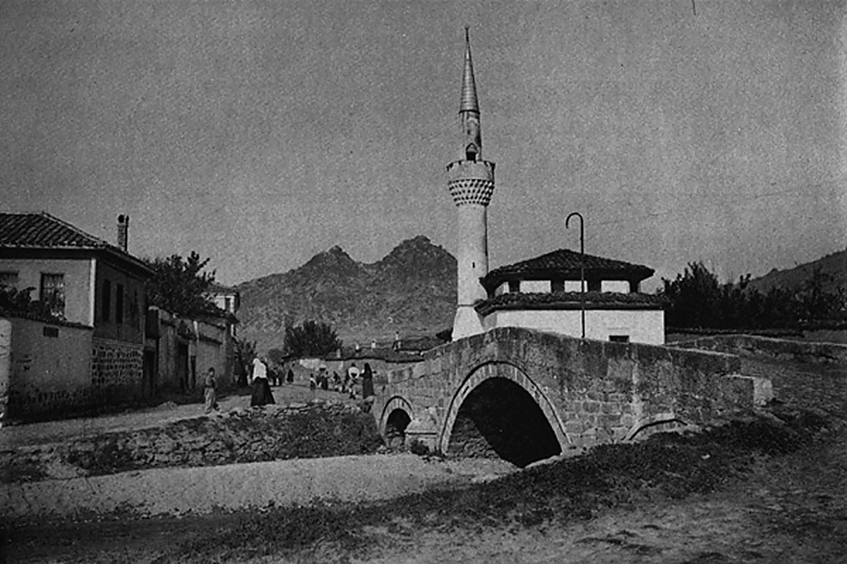
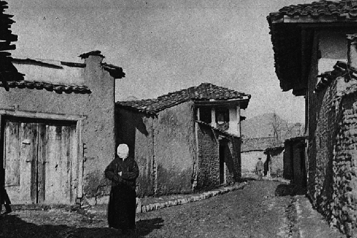
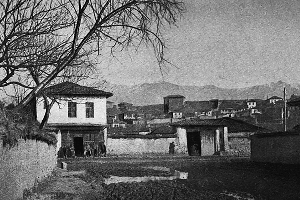
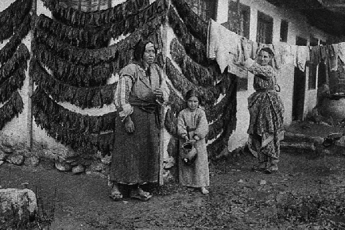
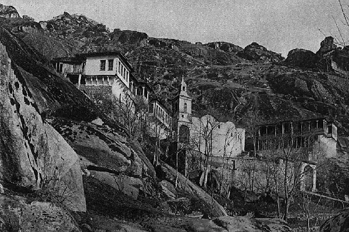
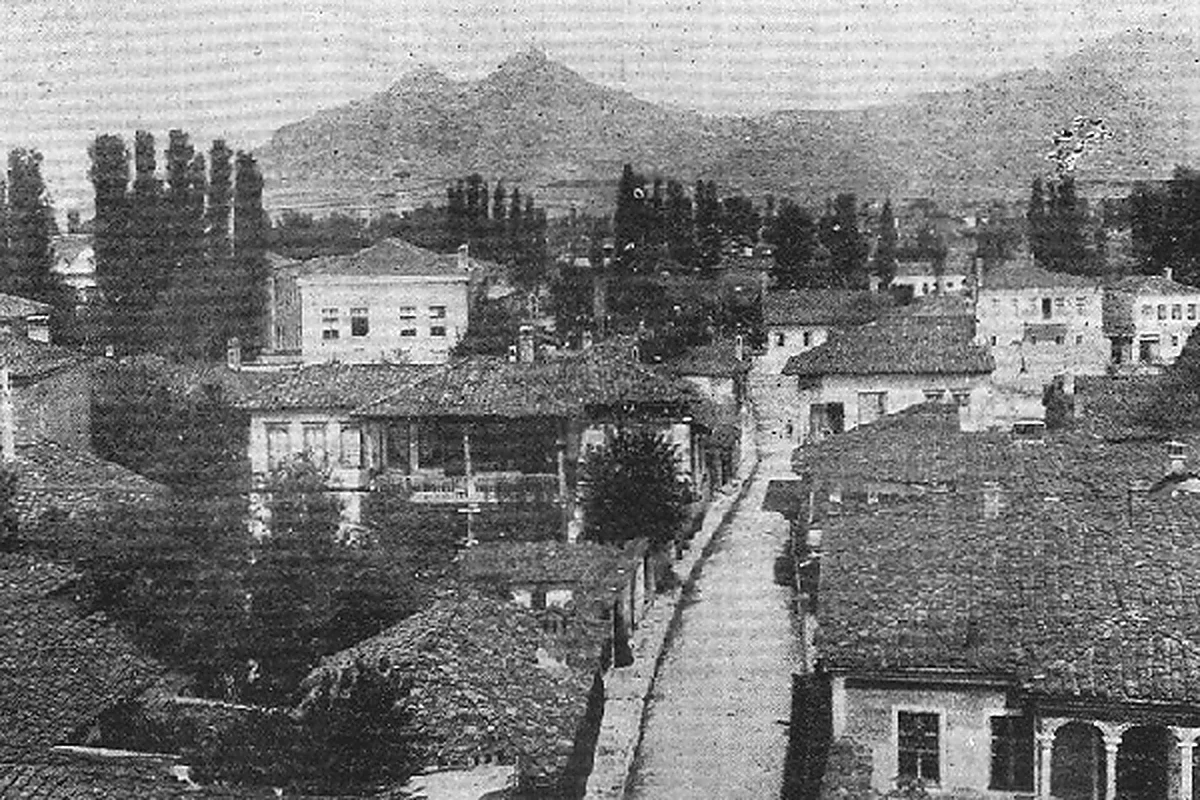
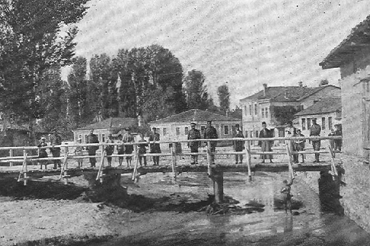
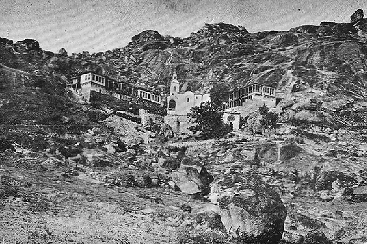
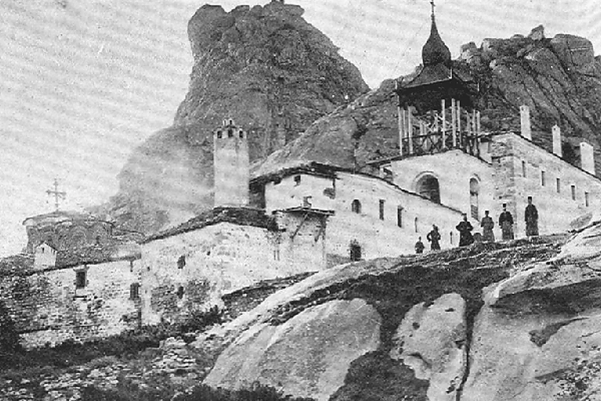
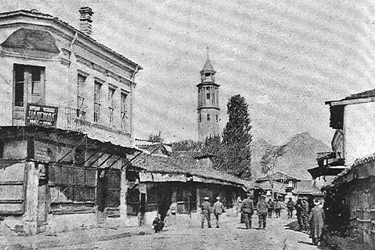
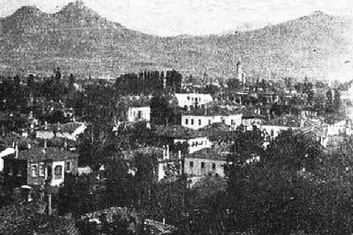
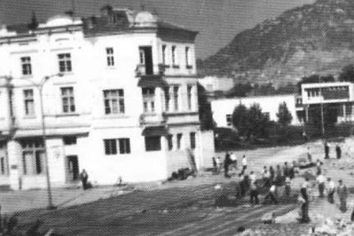
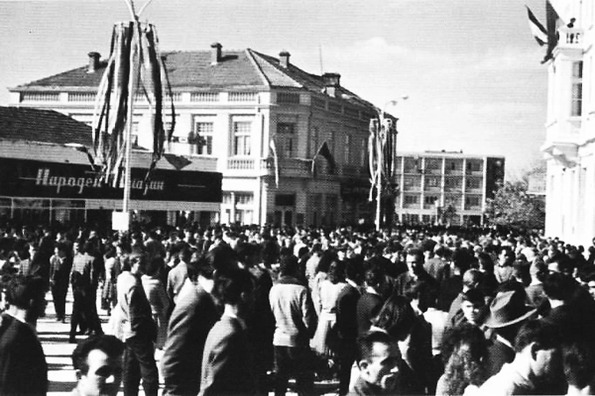
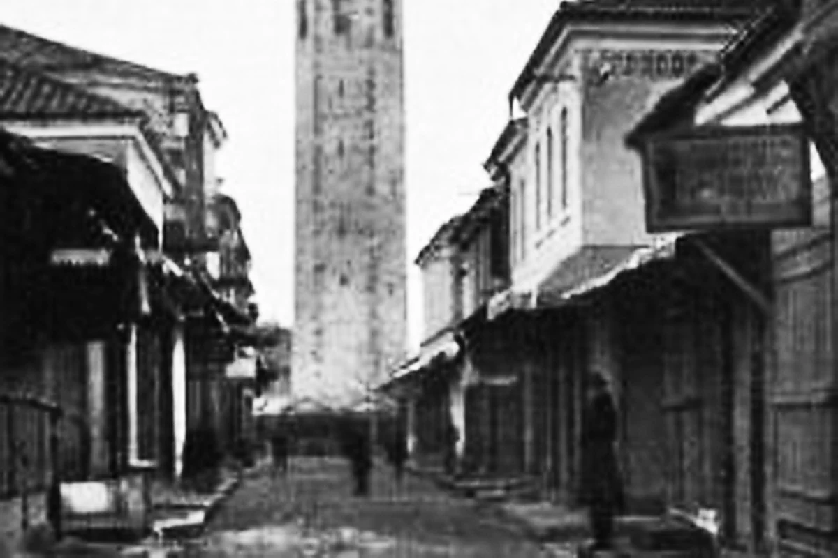
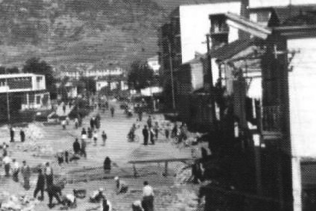
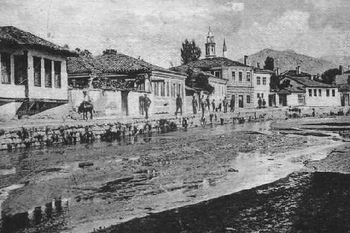
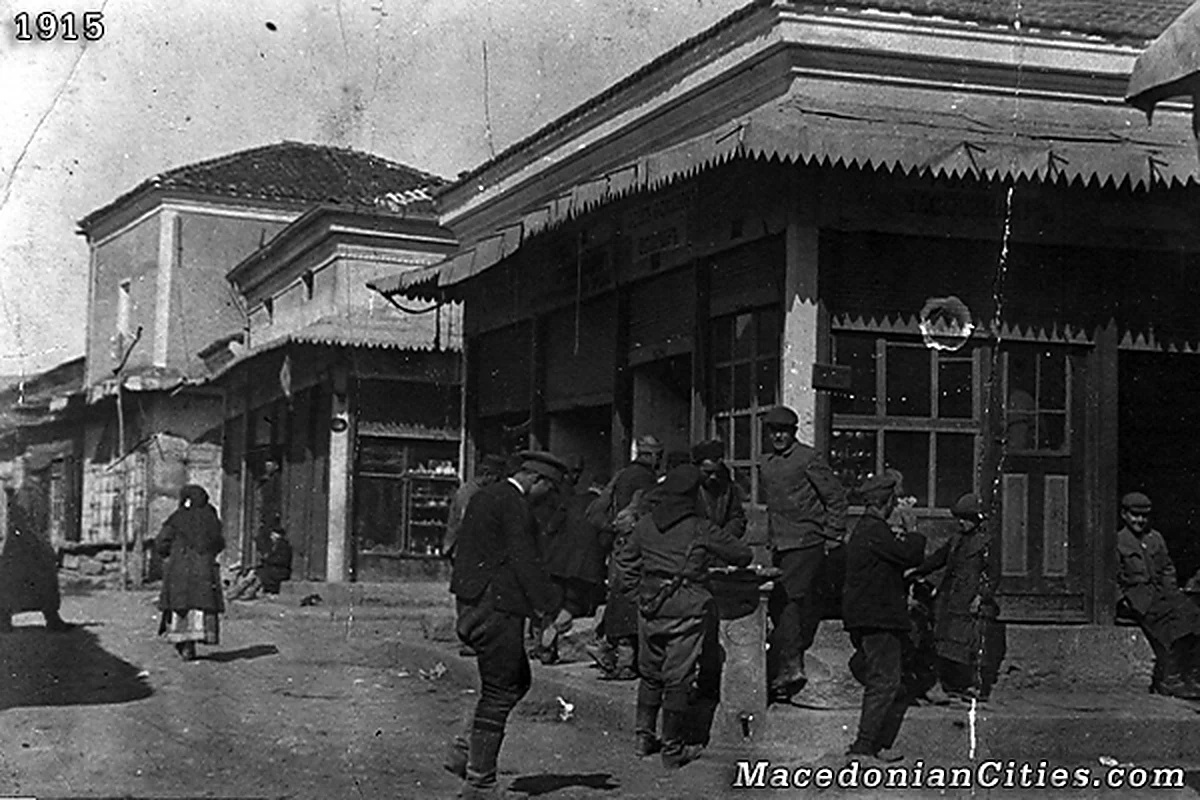
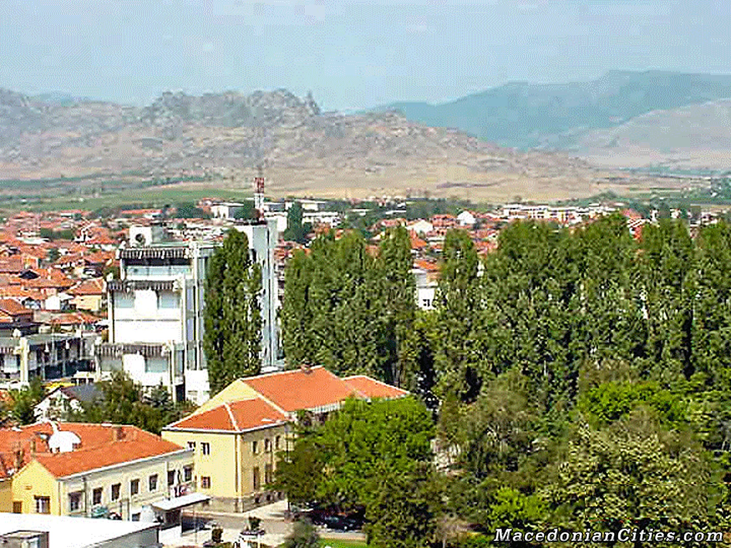
Photo Gallery (36)
Photo Gallery
Prilep, frame by frame.
A responsive family gallery, including city views recovered from the old rotating banner system.
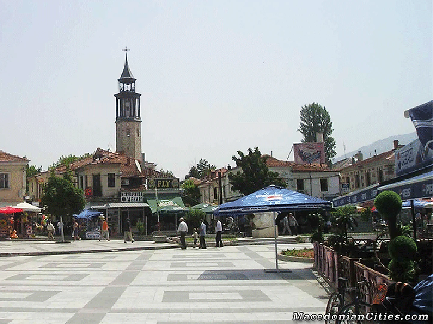
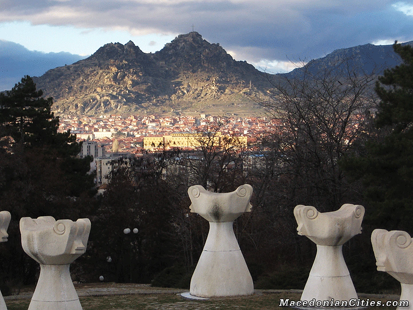
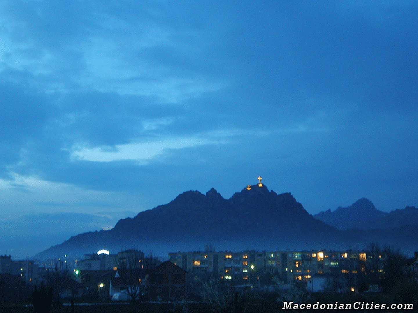
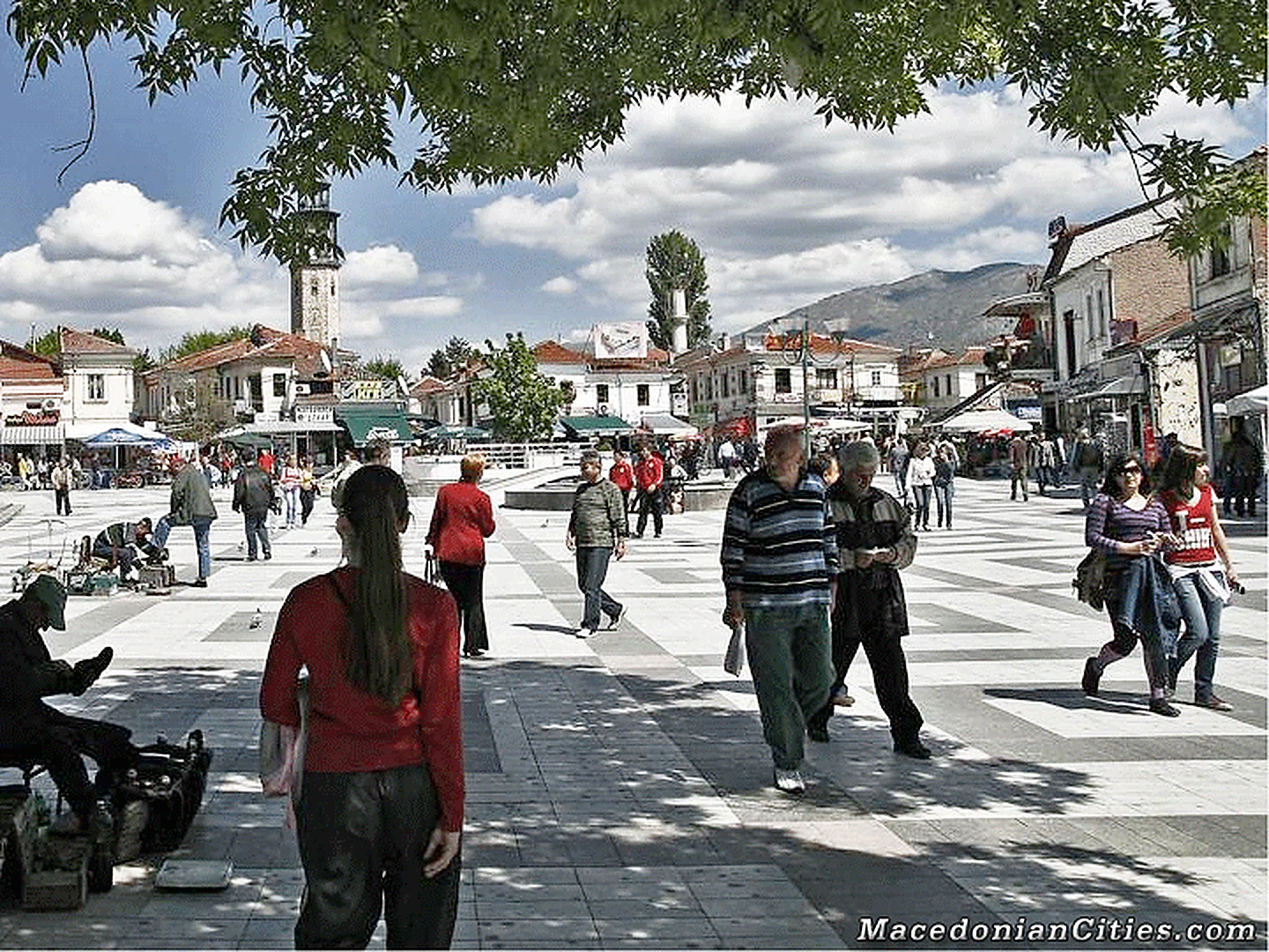
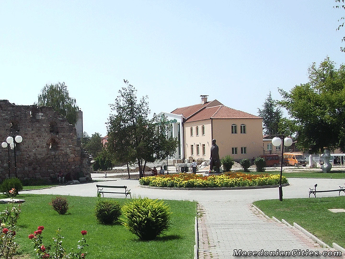
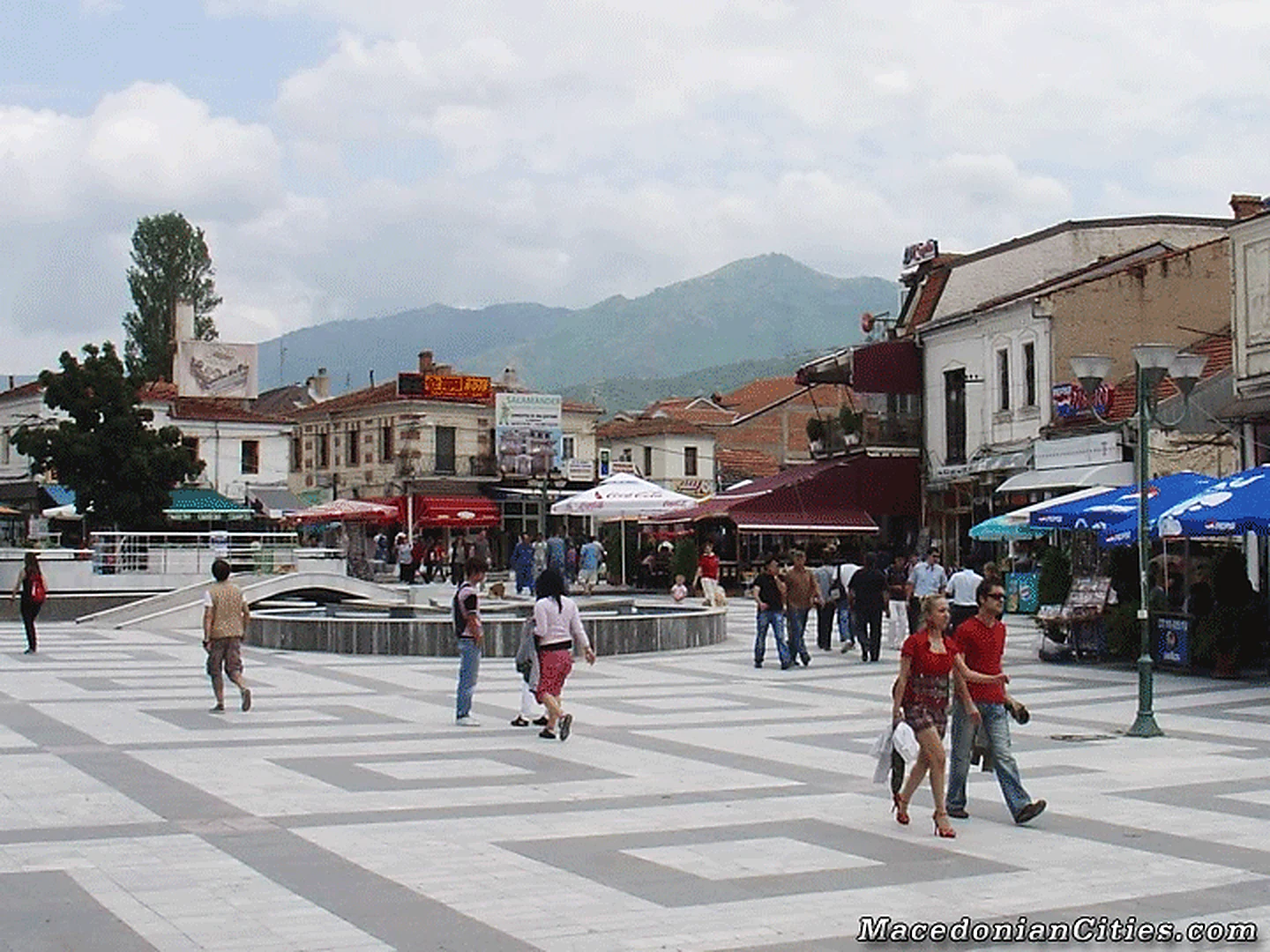
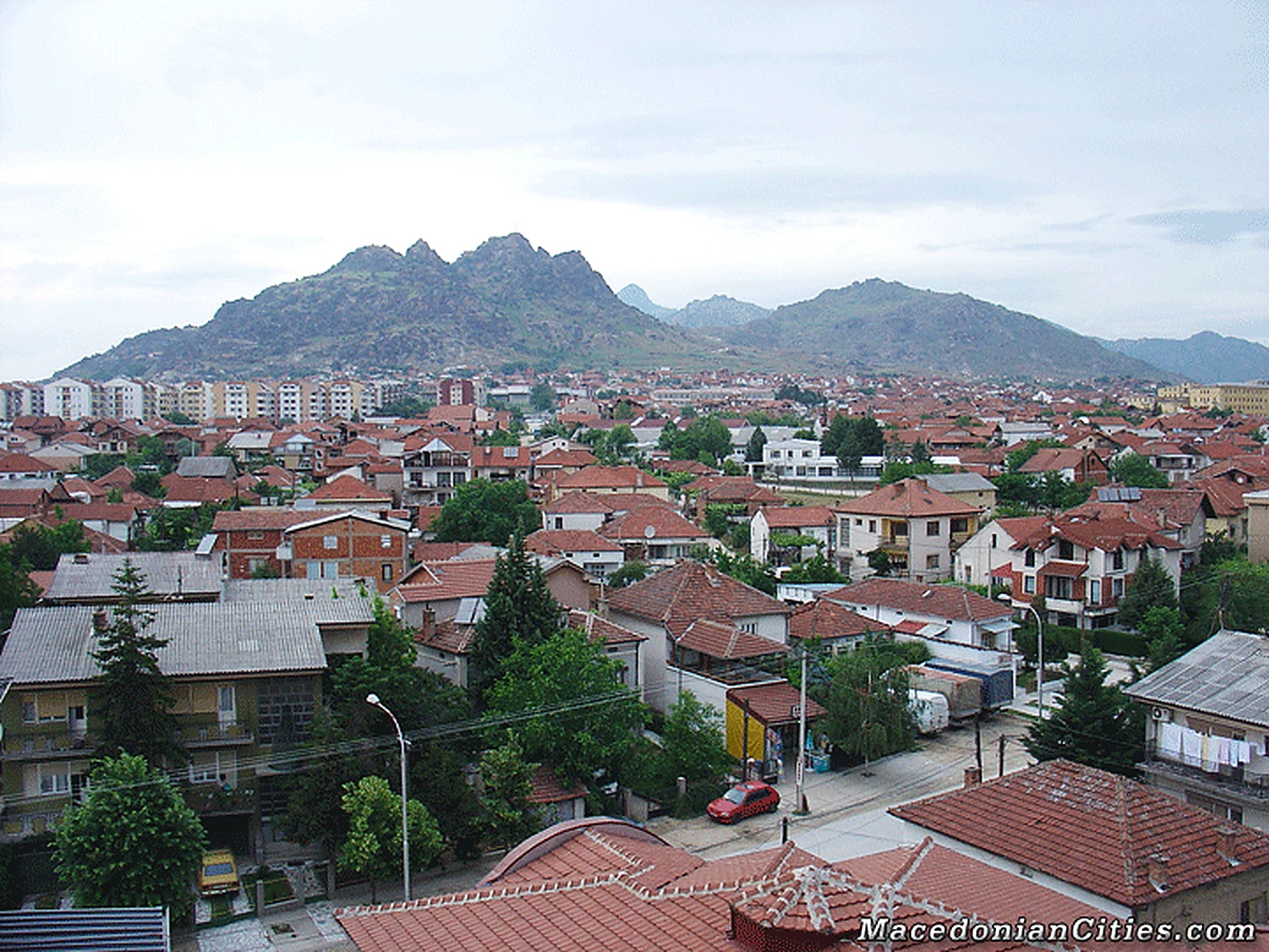
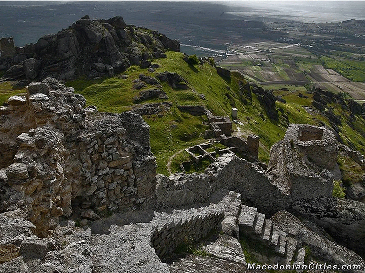
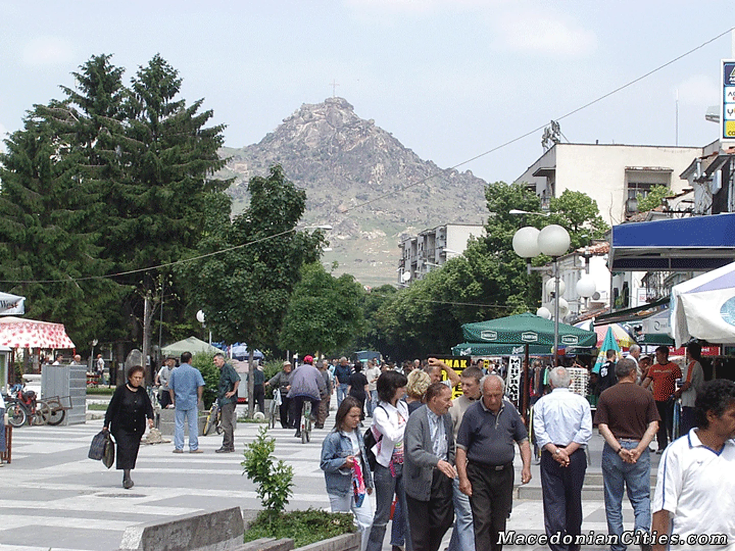
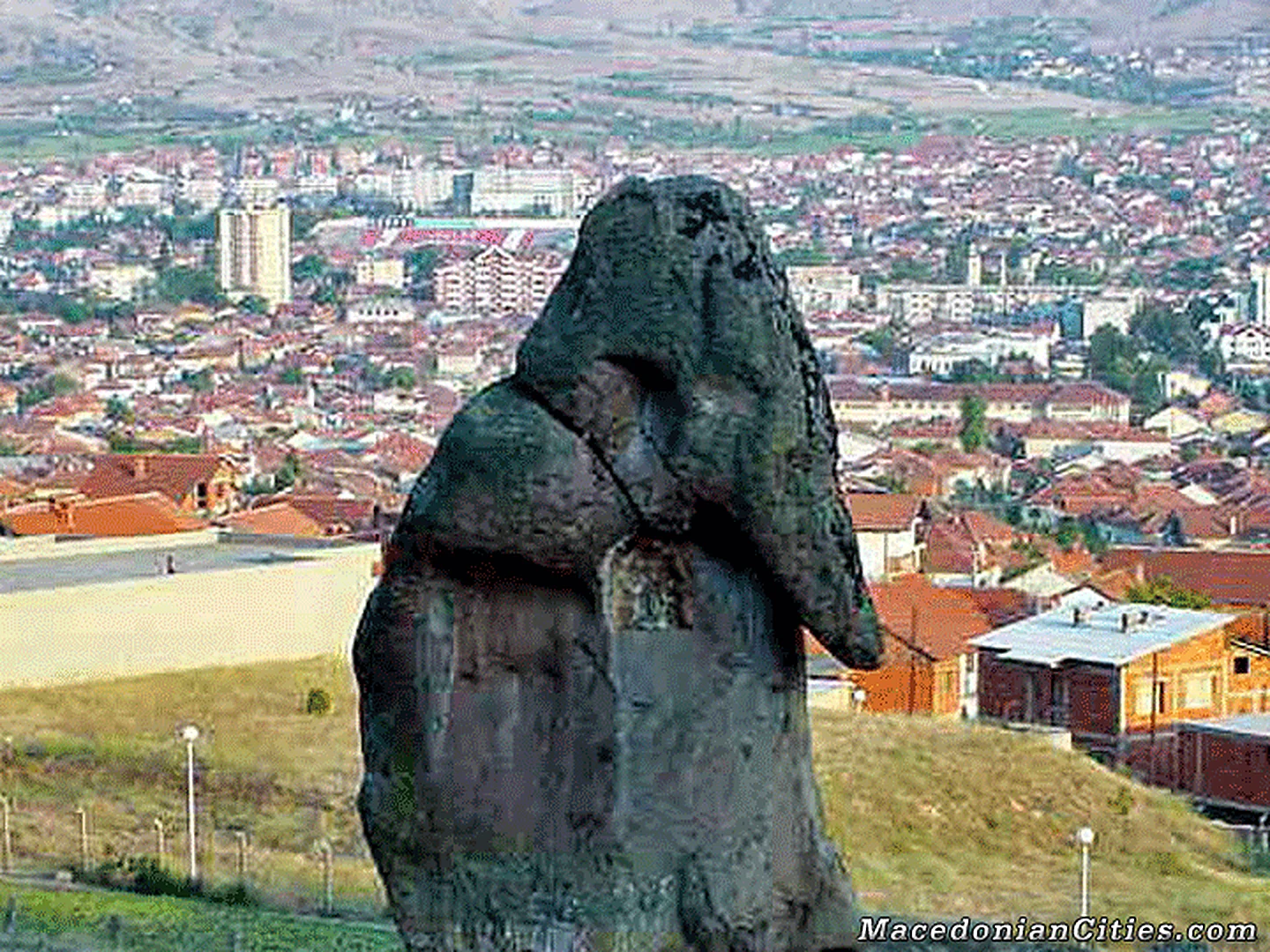
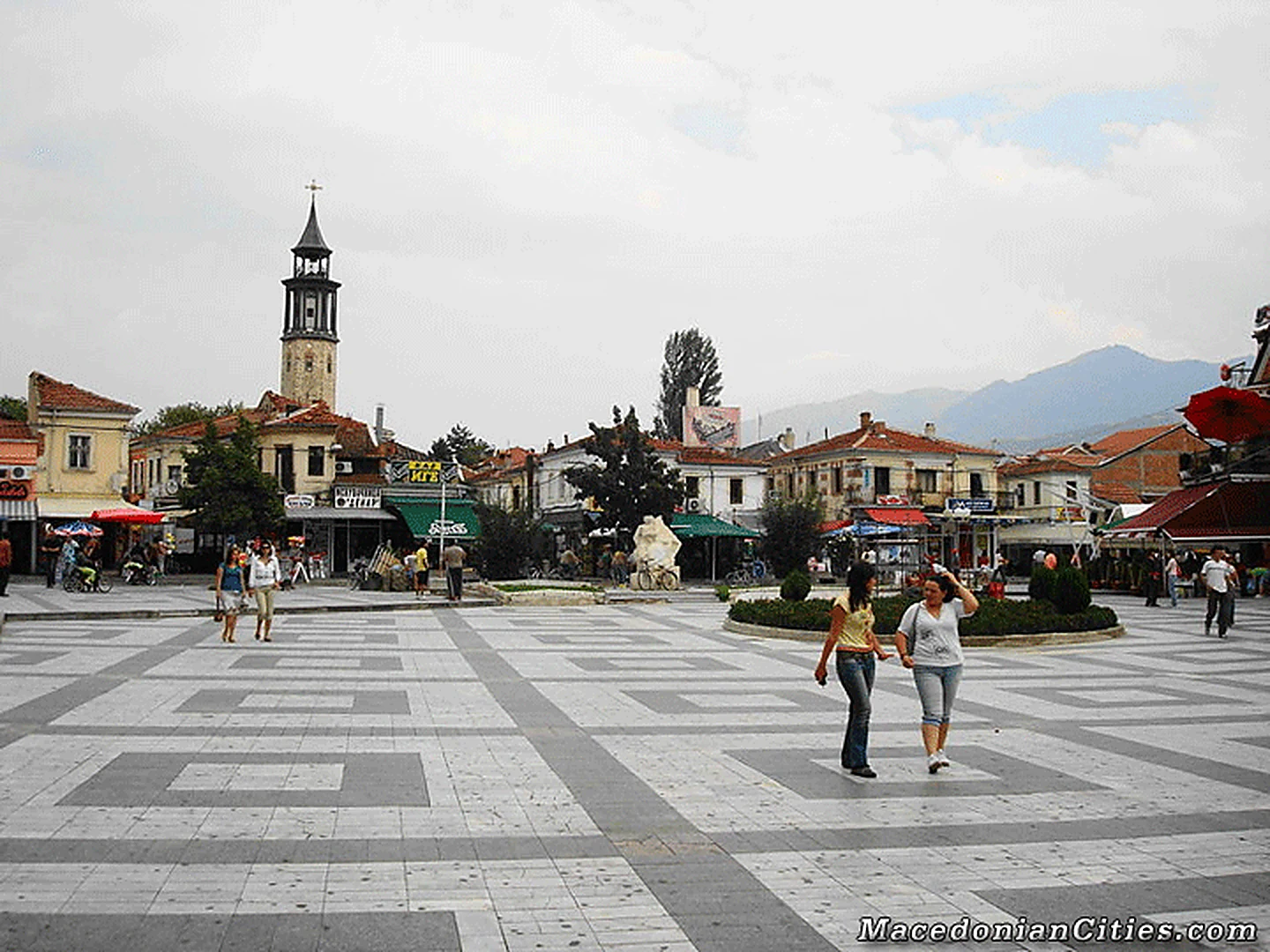
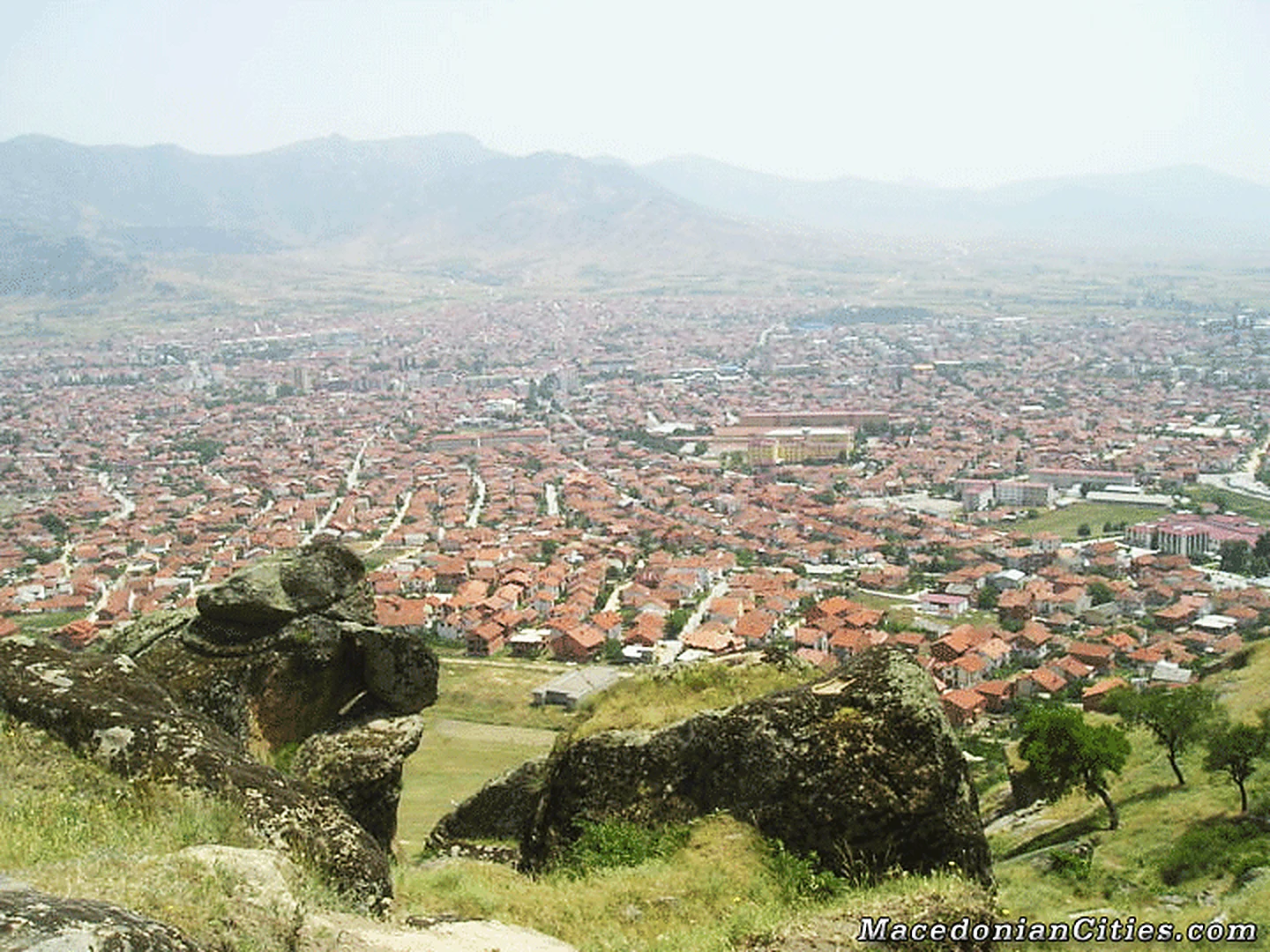
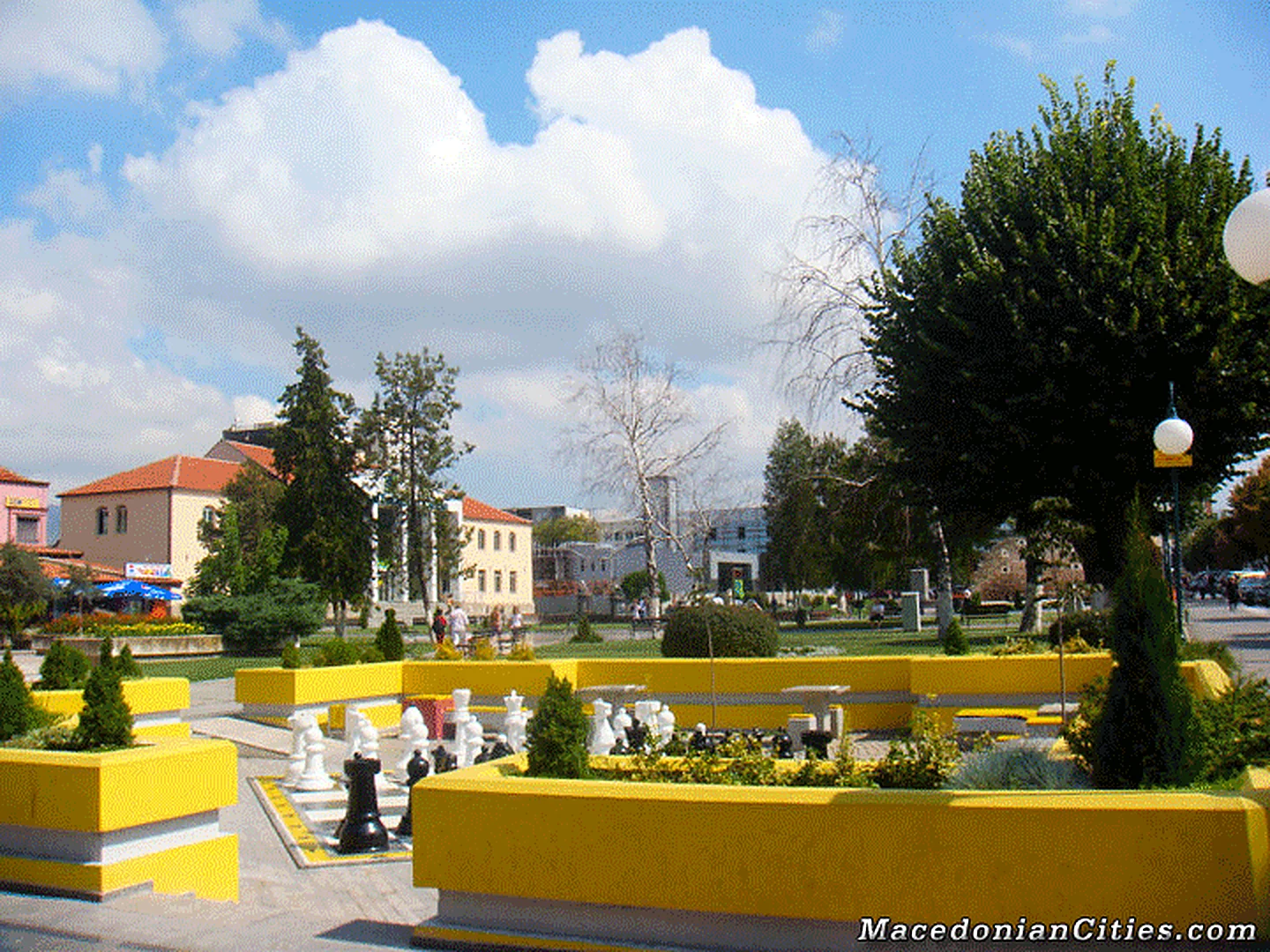
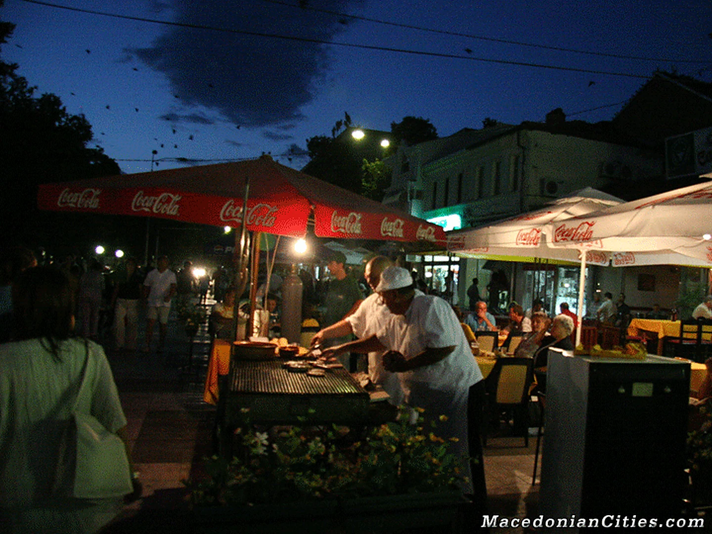
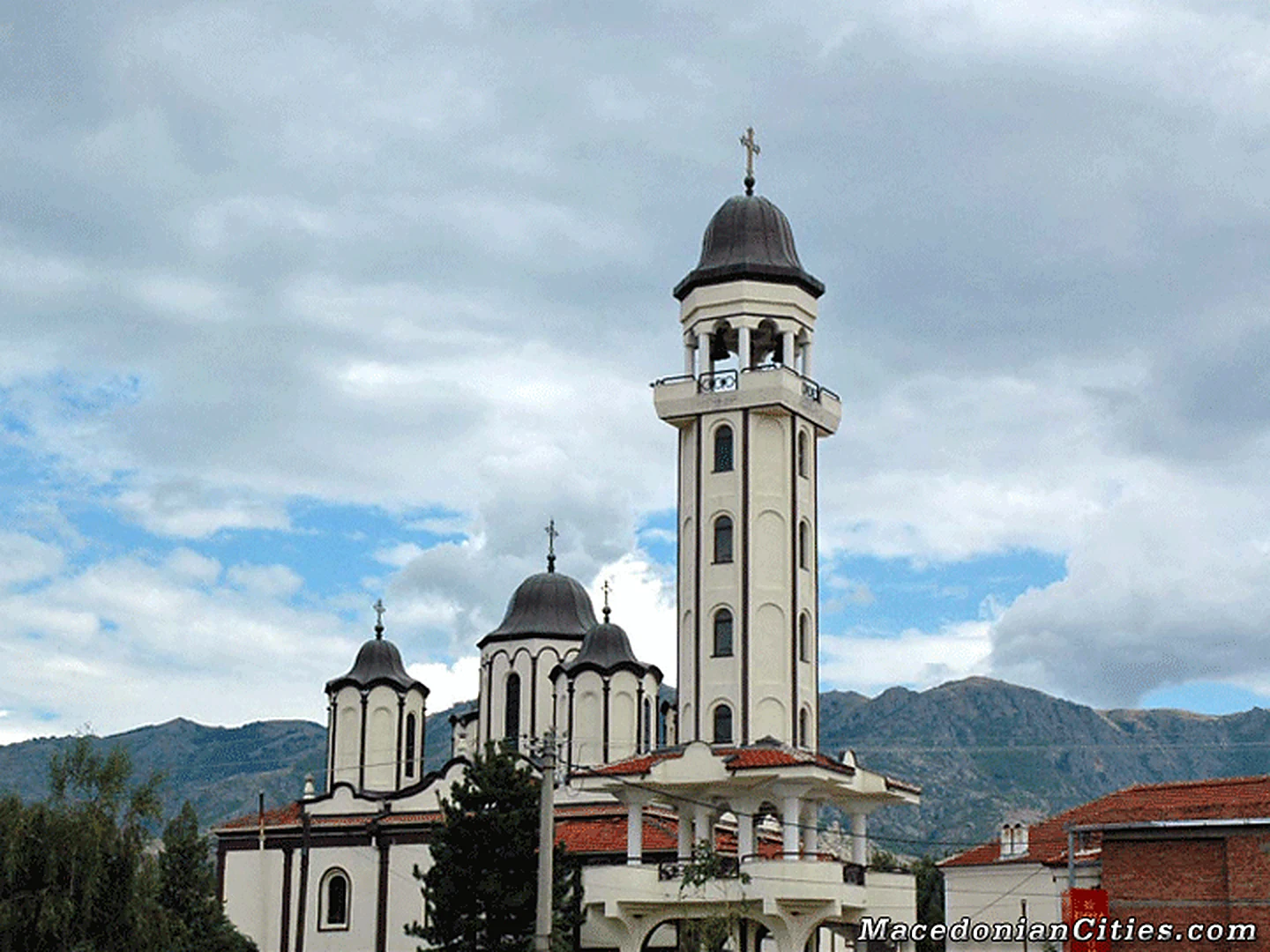
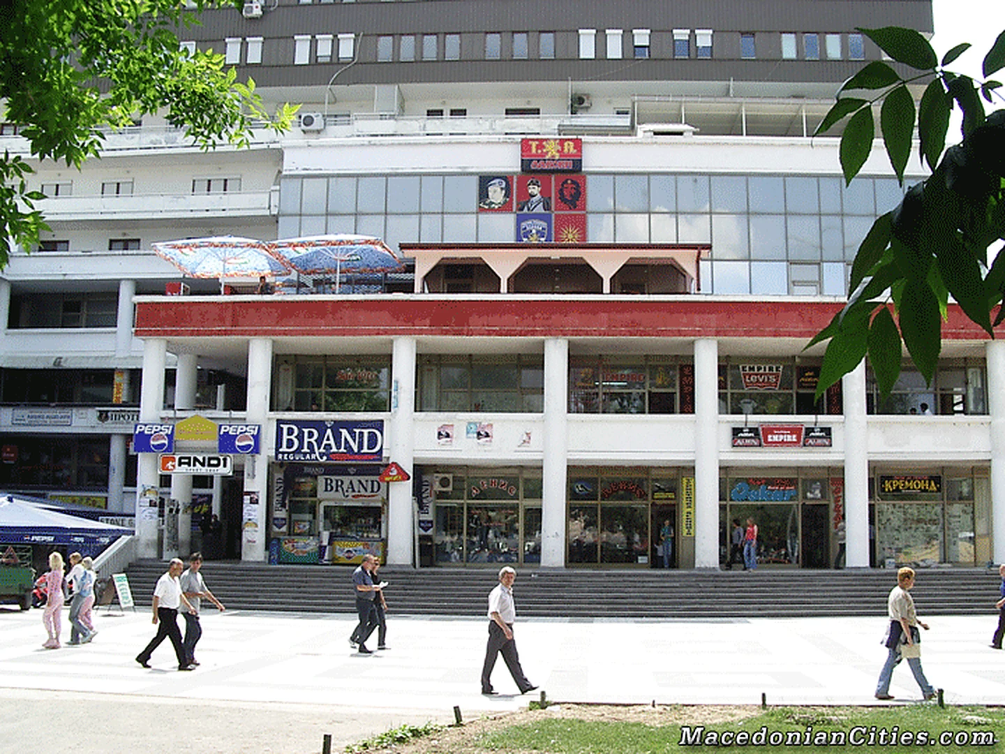
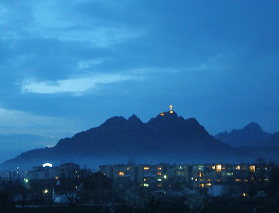
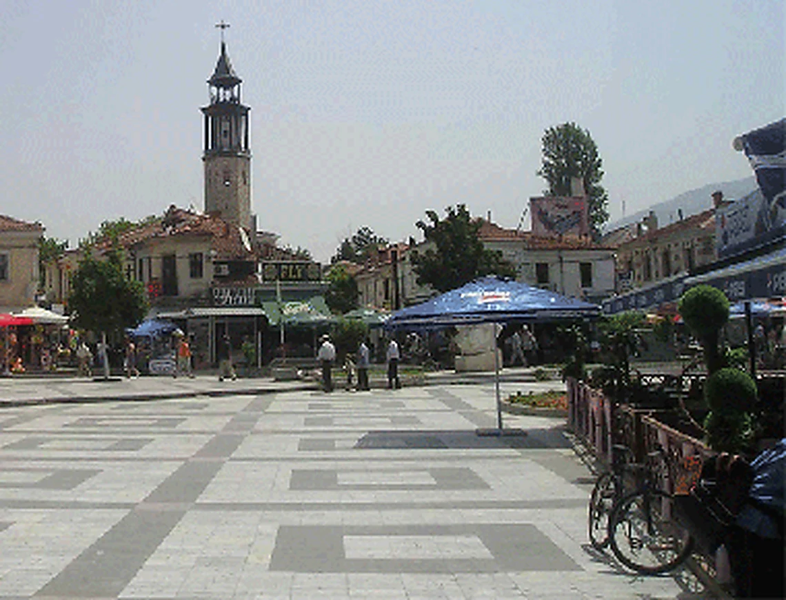
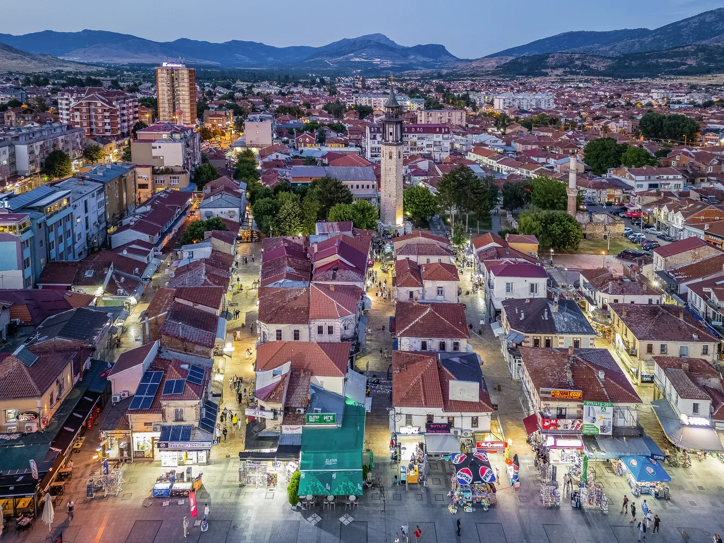
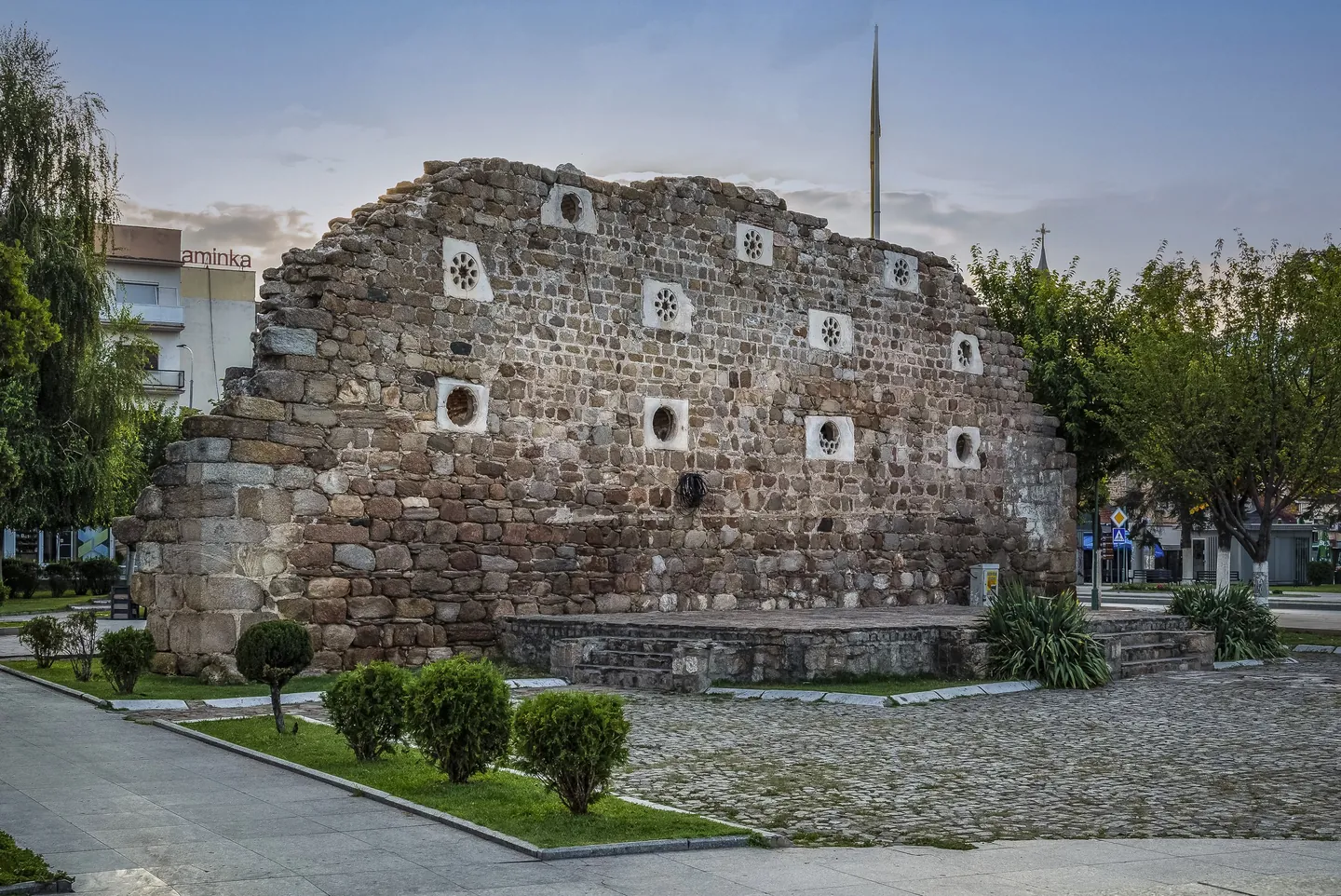
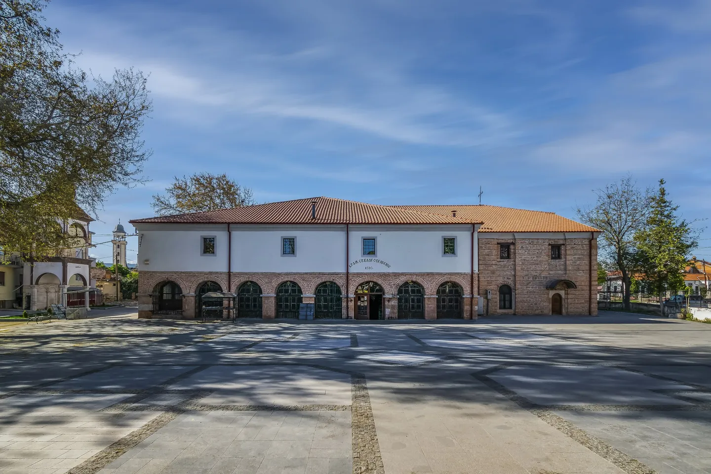
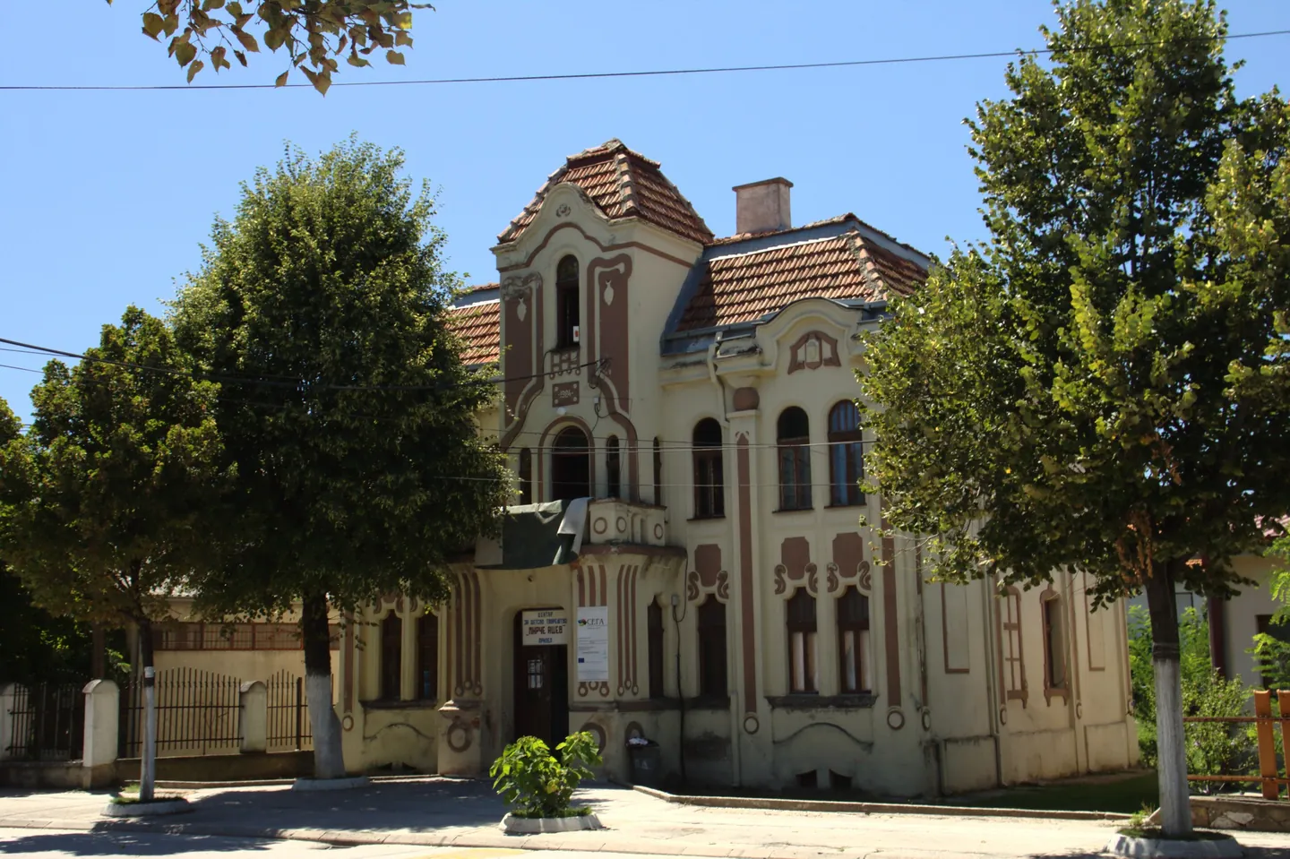
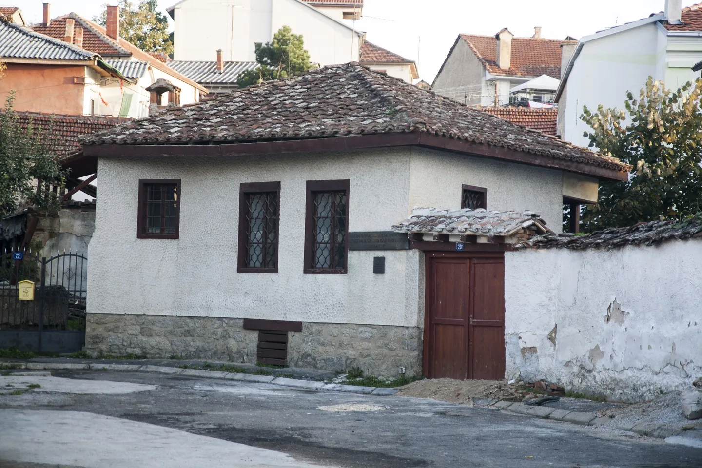
Photo credits
- Prilep: the old bazaar seen from above, red-roofed shopfronts, a clock tower and mountains behind. Photo: Meri BoshkoskaCC BY-SA 4.0Wikimedia Commons
- Prilep: the stone walls of Kurshumli An, with small openings, set in a lawn with clipped shrubs. Photo: Meri BoshkoskaCC BY-SA 4.0Wikimedia Commons
- Prilep: a long arcaded stone building on a wide paved square, a bell tower in the distance. Photo: Meri BoshkoskaCC BY-SA 4.0Wikimedia Commons
- Prilep: a villa on Car Samoil Street, with decorated cream walls, a gabled roof and tall trees. Photo: AktronCC BY 3.0Wikimedia Commons
- Prilep: the house of Kuzman Josifoski - Pitu, a white house with a tiled roof and a brown wooden gate. Photo: Filip.pereCC BY-SA 4.0Wikimedia Commons


