Polog
Gostivar
Гостивар
- Residents · 2021 census
- 32,814
- Old photographs
- 14
- Photographs
- 35
A multilingual Polog hub below the Šar Mountains
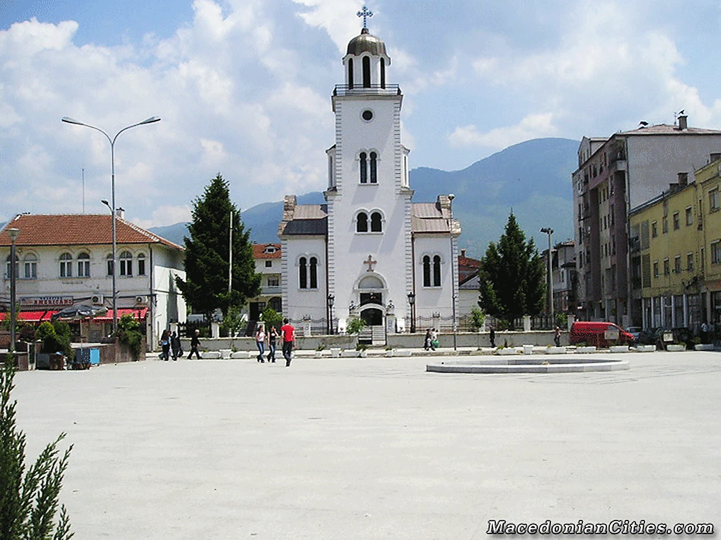
Gostivar stands at the upper end of the Polog plain, where the broad valley narrows toward Bistra, Mavrovo and the Kichevo road. The Vardar rises at Vrutok only five kilometres away, so the river that crosses much of Macedonia begins here as cold, clear water beneath the western mountains.
Overview
City overview
Meet Gostivar.
A grounded introduction to the city, its landscape, people, history and wider municipality.
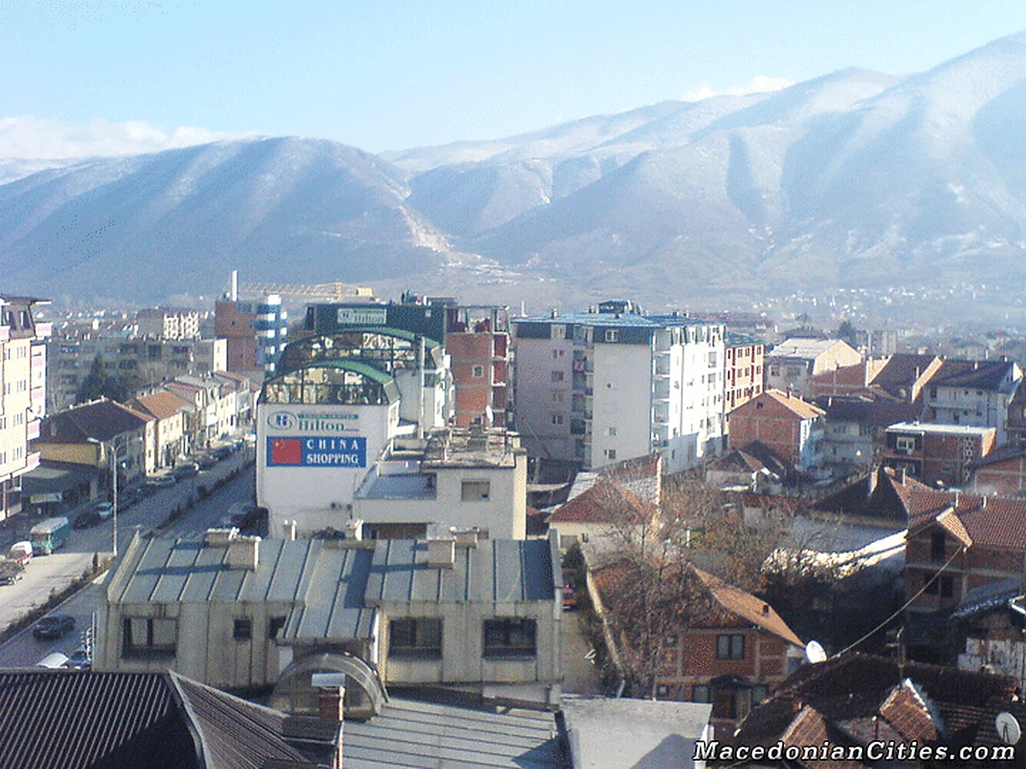
Gostivar stands at the upper end of the Polog plain, where the broad valley narrows toward Bistra, Mavrovo and the Kichevo road. The Vardar rises at Vrutok only five kilometres away, so the river that crosses much of Macedonia begins here as cold, clear water beneath the western mountains.
Its old role was that of a market between highland villages and the Polog fields. The clock tower, Daut Boletini’s eighteenth-century Bey House and the main religious buildings preserve fragments of an Ottoman town that later grew through rail, industry and migration.
Gostivar is now one of the country’s most naturally multilingual places. The 2021 census counted 59,770 residents in the municipality and 32,814 in the city; Albanian, Macedonian, Turkish, Roma, Aromanian and other traditions meet in schools, shops, football grounds, cafés and family celebrations.
Thirty-four villages surround the city, from large Polog communities such as Chegrane, Debreshe, Forino and the two Banjicas to mountain-edge settlements such as Srbinovo, Simnica and Korito. Together they make Gostivar more than an urban stop: it is the everyday centre of an entire upper-Polog landscape and a diaspora whose family ties reach across Europe.
At a glance
Useful facts, in one place.
Settlement and municipality figures are kept distinct wherever sources permit.
- Municipality
- Gostivar Municipality
- City population
- 32,814
- Municipality population
- 59,770
- Population year
- 2021
- Municipal area
- 513.31 km²
- Elevation
- 510 m
- Approx. road distance from Skopje
- 67 km
- Postal code
- 1230
- Climate
- Continental Polog-basin climate with strong mountain influence
- Sports teams
-
- KF Gostivari
- KK Gostivar
- Culture
-
- Albanian and Macedonian are central to public life, alongside Turkish, Roma and other community traditions.
- Upper-Polog dairy foods, burek and the trout restaurants at Vrutok are familiar local tastes.
- The clock tower and Bey House are the clearest surviving symbols of the older bazaar town.
- Population snapshot
- 32,814 city residents and 59,770 municipality residents in the 2021 census; 26,956 lived outside the city settlement.
Known for
The city's signature.
Landmarks, foods, landscapes and traditions that give Gostivar its character.
- The Vardar springs at nearby Vrutok
- Gateway to Mavrovo National Park
- A multilingual and multicultural urban life
- Its Ottoman-era clock tower
- Trade and transport across upper Polog
Geography
Geography
Land shapes the city.
Terrain, waterways, climate and transport explain why Gostivar grew where it did.
Gostivar occupies the upper end of the Polog valley in western North Macedonia. The town lies around 510 metres above sea level, where routes from Skopje and Tetovo meet the mountain roads toward Kičevo, Debar and Mavrovo. The Šar Mountains rise to the west and north, while Bistra and Suva Gora close the basin to the south.
At Vrutok, a few kilometres southwest of the city, springs traditionally identified as the source of the Vardar emerge at the foot of the mountains. From there the river crosses Polog and continues through much of the country. This position makes Gostivar both a valley market and a gateway to Mavrovo National Park, high pastures and the Radika basin.
History
History
A concise, rewritten account.
Written afresh from cross-checked municipal, archaeological, heritage and institutional sources—not copied website text.
Gostivar grew where mountain routes met the fertile Polog plain. Medieval references and later Ottoman records point to a settlement serving nearby villages, monasteries and seasonal markets. During Ottoman rule it developed as a craft and trading town; the surviving clock tower and a small number of traditional houses evoke the urban fabric that formed around its bazaar.
New roads strengthened Gostivar's role in the nineteenth century, and the railway, which reached the town only in the twentieth, added to it. It became a collection point for agricultural goods and a service centre for communities across upper Polog and the western mountains. Post-war industrialization brought factories and rapid urban growth, while migration within Yugoslavia and abroad connected many local families with Western Europe.
Modern Gostivar is one of the country's most visibly multilingual cities, with Albanian, Macedonian, Turkish, Roma and other traditions sharing its public life. Commerce, education and transport now dominate, yet the town's deeper logic remains geographic: it is the place where the Vardar begins and the mountain roads converge.
The preserved legacy narrative
Open the preserved legacy narrative
Stone Age
Archaeological excavations at the Neolithic sites of Tumba near Dolno Palchishte in 1987–1988 and Pod Selo Tumba near Stenche in 2000 provide some of the oldest evidence of life in the Polog valley, covering both the Tetovo and Gostivar areas. The finds reach back roughly 8,000 years, to about 6100 BCE, and include many pottery fragments, several complete vessels, ritual objects and figurines associated with a female cult. Important examples of rock art interpreted as compositions connected with ritual practice have also been recorded in the Tetovo area.
Throughout the Neolithic, the region was inhabited by communities associated with the Anzabegovo–Vrshnik cultural group, also known from the Skopje region and eastern Macedonia. During the Early Neolithic, Polog also came under strong influence from the Velushina–Porodin culture of Pelagonia to the south. This is reflected in the form of an early intact Magna Mater-type ritual figurine excavated near Stenche. The Late Neolithic shows influence from the Vincha culture to the north.
Metal Age
Toward the end of the fourth millennium BCE, groups from the Eurasian steppe entered the Balkans. The inherited account presents these movements as Indo-European settlers destroying and assimilating the older Neolithic culture to create the Salkutsa–Bubanj–Krivodol Eneolithic complex. That older migration model is stated too categorically and should be read as an interpretation rather than settled fact. Evidence associated with this new cultural horizon has also been found in Polog, including at Palchishte and Zhelino. By the Middle Bronze Age, more stable regional communities had emerged. Material influence from the flourishing Mycenaean world to the south is represented by an ornate bronze sword found in Tetovo and identified as an import from a Mycenaean centre.
Although the intervening centuries saw substantial movement of people, the Iron Age brought greater stability and expanding trade. A large ceramic storage vessel, or pithos, found near Larce and used for grain dates from this period.
Using references in Strabo, evidence connected with the Damastion coinage and later personal names, the inherited text argues that the Polog valley was inhabited by the Bryges. It further links the Bryges with the later formation of Paeonian, ancient Macedonian, Dassaretian, Edonian and Mygdonian communities, and points to supposed Brygian roots in Paeonian and ancient Macedonian names and vocabulary. These broad reconstructions of ancient ethnicity and language remain debated and should not be presented as certain.
Early Antiquity
The influence of Greek craft centres gradually changed the material culture and ways of life in this part of the Balkans. These developments introduced the Archaic period and the transition from prehistory into written history and antiquity. Archaeologically, they appear in new pottery forms, jewellery and other crafted goods, as well as changes in burial and religious practice, including cremation and the adoption of Greek cults. Such innovations seem first to have served as markers of prestige among elites before spreading more widely. The best-known example is the so-called princely burial from Tetovo where the celebrated Maenad statuette was found; the image appears on Tetovo's coat of arms and on the 5,000-denar banknote issued in 1996.
Older scholarship proposed several different identities for the ancient inhabitants of this region. The inherited account identifies the Agrianians, described as a northern Paeonian or ancient Macedonian tribe, as the principal population of a broad area including Polog until the third century BCE. It cites continuity in archaeological layers, imported Greek pottery and rich elite burials as evidence. This territorial and ethnic identification is disputed and should be treated as one scholarly interpretation. The best-known Agrianian ruler was Langarus, who assisted Alexander III of Macedon against the Triballi in 335 BCE. Agrianian troops later accompanied Alexander's Asian campaigns and gained a strong military reputation.
Economic and commercial growth allowed some cities to strike autonomous coinage. The city of Pelagia is said to have minted silver coins at Damastion throughout the fourth century BCE. The legacy account places Pelagia, tentatively, near modern Tetovo and proposes it as an ancient urban predecessor whose name later developed into the Slavic regional name Polog. Both the location and the etymology remain hypotheses, not established facts.
Toward the end of the fourth century BCE, the weakened Agrianian polity came under the authority of the Paeonian king Audoleon. From the middle of the third century BCE, the inherited narrative describes Dardanians advancing from the north and taking territories extending into northern Macedonia and Polog, a change it connects with breaks in the archaeological record. During the following period, these borderlands served as a logistical base for Dardanian raids against the Macedonian kingdom, continuing even after Rome conquered Macedonia in 168 BCE.
Roman period
By 29 BCE, Polog and other parts of Dardania as far north as the Danube had come under Roman control, ushering in a period of greater stability, trade and development. Several funerary stelae bearing Greek epitaphs show that Polog belonged to the Greek-language sphere, unlike the more Latin-oriented Kosovo and Skopje areas. The inherited text dates the stones inconsistently while discussing the Roman imperial era, so their precise chronology should be verified. It places Polog within the Roman province of Macedonia during the early imperial period and, after Diocletian's reforms, within Macedonia Secunda in Late Antiquity. The personal names preserved on the monuments suggest that Romanization remained limited in these peripheral districts away from the main roads.
As incursions by Celts, Ostrogoths, Huns and other groups became more frequent from the third century CE onward, Roman authorities began constructing fortified towns and strongholds on dominant hills in the late fourth century. Numerous forts, castles and refuge settlements in the wider Tetovo area are assigned to this period, including sites near Rogle, Orashje, Leshok, Stenche, Jegunovce and Gradec, as well as Isar–Banjiche near Tetovo.
Christianity reached Macedonia through the mission of the Apostle Paul in the first century, but spread more broadly among the population after Constantine legalized the religion in 313. Construction of early Christian basilicas followed. The inherited account says that sixteen such basilicas have been identified in Polog: twelve in the Tetovo area and four in the Gostivar area. The best investigated include the fifth-century basilica at Stenche, described as unique in Macedonia for its three baptisteries, and the church at Tudence from the second half of the sixth century, presented as the country's earliest known triconch church and a rare example in southern Europe.
After the powerful Avar and Slavic incursions of the late sixth century, the fortifications were abandoned, though not necessarily destroyed. When more stable state structures returned two or three centuries later, many sites were restored for defensive use and occupied by a predominantly Slavic population, laying foundations for new medieval settlements.
Profile sources (19)
- web.archive.org/web/20250808081416/https://macedonia-timeless.com/eng/cities_and_regions/cities/gostivar
- gostivari.gov.mk
- seeu.edu.mk/en/~rufi.osmani
- stat.gov.mk/publikacii/2022/POPIS_DZS_web_EN.pdf
- citypopulation.de/en/northmacedonia/poloski/503__gostivar
- gostivari.gov.mk/042
- gostivari.gov.mk/042/wp-content/uploads/2026/05/ilovepdf_merged-35.pdf
- enciklopedija.hr/clanak/polenakovic-haralampije
- sanu.ac.rs/wp-content/uploads/2025/09/Srbinovic.pdf
- en.wikipedia.org/wiki/Admir_Mehmedi
- ffm.mk/en/ateam/visar-musliu
- en.wikipedia.org/wiki/Nuri_Seferi
- en.wikipedia.org/wiki/Arben_Taravari
- en.wikipedia.org/wiki/Gentjana_Rochi
- maps-of-power.oeaw.ac.at/projects/idcew/explore/actor/20199
- en.wikipedia.org/wiki/Saint_Jovan_Bigorski_Monastery
- en.wikipedia.org/wiki/Le%C5%A1ok_Monastery
- makstat.stat.gov.mk/PXWeb/pxweb/en/MakStat/MakStat__Popisi__Popis2021__NaselenieVkupno__PodatociNaselenie/T1501P21.px
- macedonia-timeless.com/eng/cities_and_regions/cities/gostivar
Interesting Facts
Interesting facts
Details worth remembering.
Local landmarks, customs, foods and historical details that reward a closer look at Gostivar.
-
Where the Vardar begins
The springs at Vrutok, five kilometres southwest of Gostivar, are traditionally identified as the source of the 388-kilometre Vardar.
-
The clock tower is a civic emblem
Gostivar’s working Saat Kula is so closely associated with the city that it appears on the municipal coat of arms and flag.
-
An eighteenth-century town house survives
Daut Boletini’s Bey House is protected as a rare example of authentic eighteenth-century Old Town domestic architecture.
-
A crossroads before the mountains
Gostivar is 67 kilometres from Skopje, 27 from Tetovo and 46 from Kichevo, at the junction between the Polog motorway and western mountain routes.
-
Vrutok joined water and industry
The village beside the Vardar springs also became associated with hydropower and fish farming, while older records mention local mills in 1608.
-
A municipality of thirty-five settlements
The 2021 statistical settlement list records Gostivar city and thirty-four surrounding villages, ranging from large valley communities to nearly empty mountain hamlets.
People
Celebrities
Lives linked to the city.
Writers, musicians, artists, athletes, public figures and historical personalities with a clearly stated connection to Gostivar.
- Notable person Rufi Osmani Economist and public figure born in Čegrane in the Gostivar municipality, later mayor of Gostivar.
-
Haralampije Polenaković Scholarship
Born in Gostivar in 1909 and completed his elementary education there.
Literary historian, lexicographer and university professor regarded as a founder of modern Macedonian literary scholarship.
Source -
Mladen Srbinović Visual art
Born in 1925 in Sušica, a village in present-day Gostivar Municipality.
Painter, mosaicist and professor who belonged to both the Serbian and Macedonian academies of sciences and arts.
Source -
Rufi Osmani Public life
Born in Chegrane in Gostivar Municipality and later served as mayor of Gostivar.
Economist, university professor and public figure who served as a member of parliament and mayor.
Source -
Admir Mehmedi Sport
Born in Gostivar before moving to Switzerland with his family as a child.
Swiss international football forward who played in Switzerland, Ukraine, Germany and Turkey.
Source -
Visar Musliu Sport
Born in Gostivar in 1994 and developed in the youth ranks of Gostivar and Renova.
North Macedonia international centre-back with club experience in several European leagues.
Source -
Nuri Seferi Sport
Born in Gostivar in 1976; he and his brother were later made honorary citizens of their birthplace.
Professional cruiserweight boxer and former WBO European champion based in Switzerland.
Source -
Arben Taravari Public life
Born in Gostivar and elected mayor of the municipality.
Neurologist and politician who has served as Gostivar mayor and as a national minister.
Source -
Gentjana Rochi Sport
Born in Gostivar and began her football path in North Macedonia before playing abroad.
North Macedonia women’s international footballer known as a prolific club forward.
Source
Villages & Monasteries
Villages
The wider municipality.
Every verified village and rural settlement in the current municipal scope, followed by known monasteries in the surrounding cultural landscape.
34 villages and rural settlements are included.
- Balin Dol A large village on the immediate edge of Gostivar. Source
- Belovishte A substantial upper-Polog village in Gostivar Municipality. Source
- Brodets A very small mountain settlement in the municipality. Source
- Chajle A large village in the cultivated Polog plain. Source
- Chegrane One of the municipality’s largest villages, northwest of the city. Source
- Debreshe A large Polog village west of Gostivar. Source
- Dolna Banjica A populous village adjoining the southern side of Gostivar. Source
- Dolna Gjonovica A small village in the wider Gostivar countryside. Source
- Dolno Jelovce A tiny upland village in Gostivar Municipality. Source
- Forino A large valley village east of Gostivar. Source
- Gorna Banjica A populous village immediately south of the city. Source
- Gorna Gjonovica A small rural settlement in the municipality. Source
- Gorno Jelovce A tiny mountain village above the Polog basin. Source
- Kjafa A currently uninhabited or near-empty highland settlement recorded by the census. Source
- Korito A mountain-edge village in Gostivar Municipality. Source
- Kunovo A small rural settlement in the upper-Polog hinterland. Source
- Lakavica A village south of Gostivar on the approaches to the western mountains. Source
- Leshnica A small village in Gostivar Municipality. Source
- Malo Turchane A settlement adjoining the Gostivar urban area. Source
- Mirdita A newly tabulated small settlement in the 2021 census. Source
- Mitroj Krsti A tiny village in the municipality’s rural hinterland. Source
- Padalishte A village on the southern side of the municipality. Source
- Pechkovo A small mountain village above the Polog plain. Source
- Raven A sizeable village on the road toward Mavrovo and the western mountains. Source
- Rechane A village in the upper-Polog part of Gostivar Municipality. Source
- Simnica A mountain-foot village south of Gostivar. Source
- Srbinovo A village in the Lakavica valley and western part of the municipality. Source
- Strajane A smaller rural community in Gostivar Municipality. Source
- Sushica A small village known as the birthplace of painter Mladen Srbinović. Source
- Trnovo A mountain village in the municipality’s southern country. Source
- Tumchevishte A village in the Polog plain northeast of Gostivar. Source
- Vrutok The village beside the springs traditionally regarded as the source of the Vardar. Source
- Zdunje A large village near Gostivar in the upper-Polog valley. Source
- Zhelezna Reka A scattered mountain settlement in the southern part of the municipality. Source
Monasteries nearby
Places of continuity.
Verified monastic sites within the municipality or its immediate cultural landscape.
-
Medieval Gostivar Monastery site
Near the Church of St Demetrius, Gostivar
A documented medieval monastery known from a fourteenth-century abbatial list; later scholarship recorded visible ruins near St Demetrius rather than a surviving active complex.
Source -
Saint Jovan Bigorski Monastery
Radika valley, Mavrovo and Rostusha Municipality; on the Gostivar–Debar road
The region’s major active monastery, dedicated to St John the Baptist and celebrated for its masterfully carved iconostasis; it is outside Gostivar Municipality but strongly linked by the mountain road.
Source -
Leshok Monastery
Leshok, Tearce Municipality, northern Polog
A historic Polog monastery with churches dedicated to St Athanasius and the Holy Mother of God; it is a regional site north of Gostivar rather than a municipal one.
Source
Old Photos (14)
Old Photos
The rare collection.
Every surviving full-size historical file is included, including originals that the old page markup accidentally omitted. Family-preserved originals remain untouched.
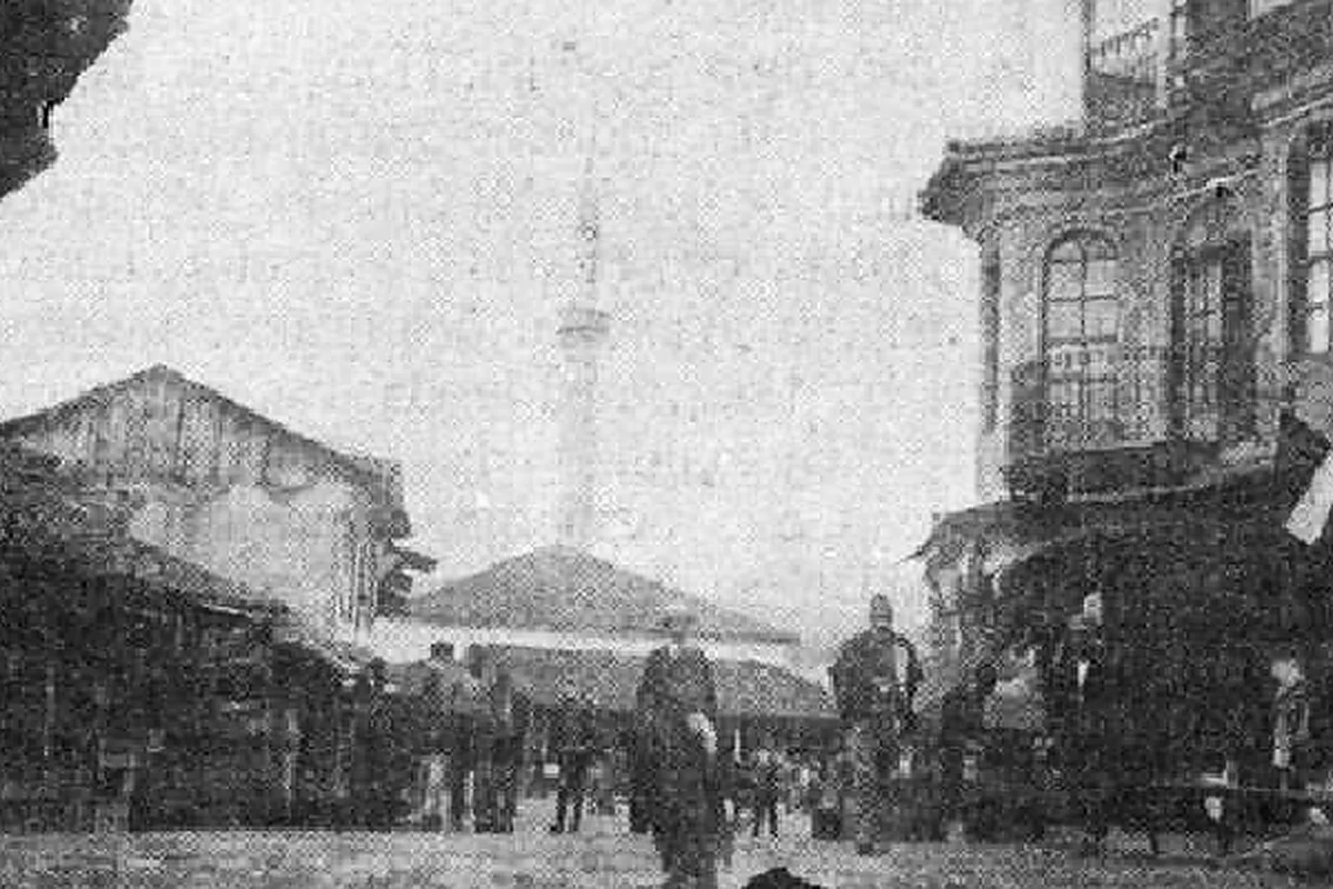
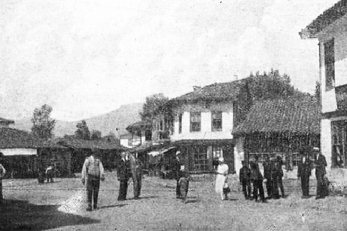
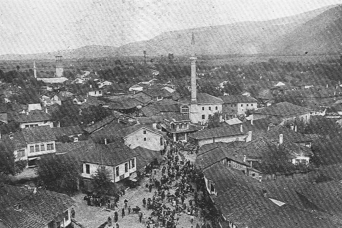
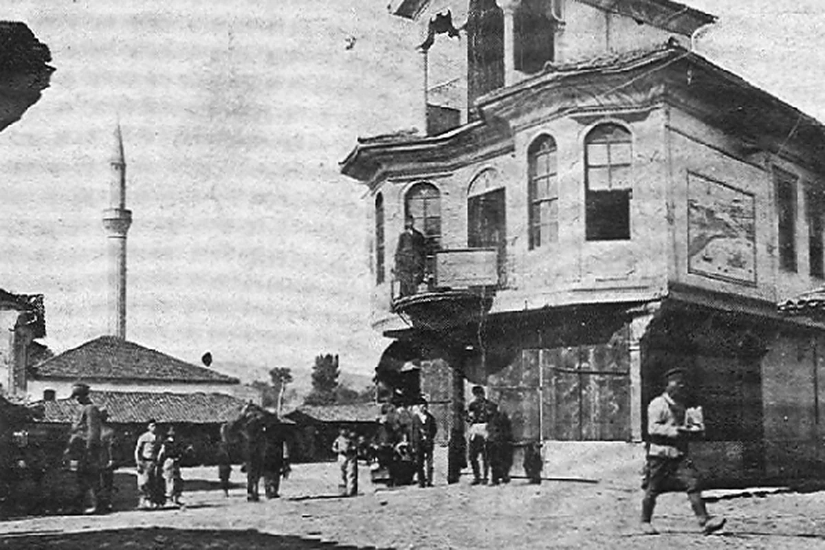
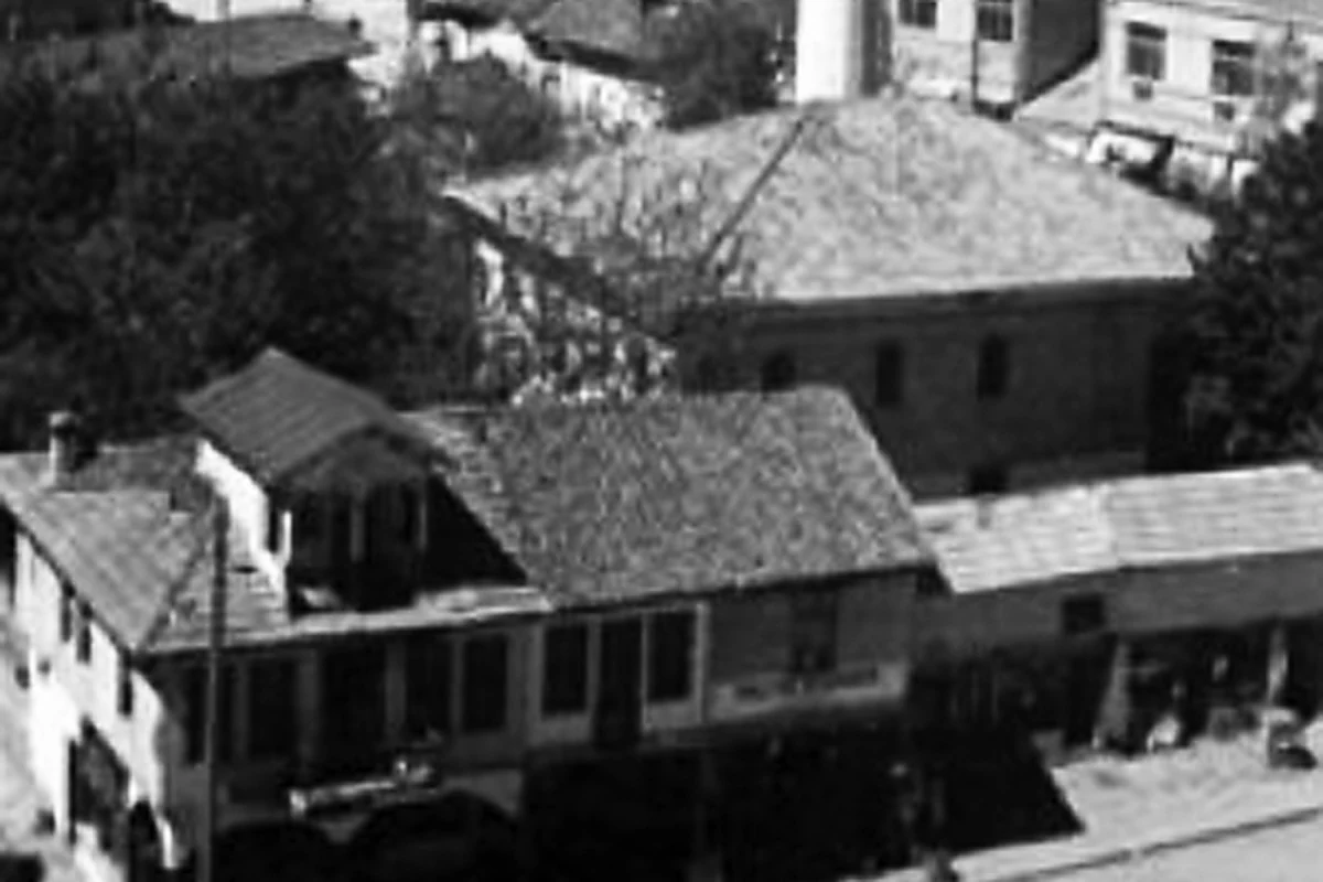
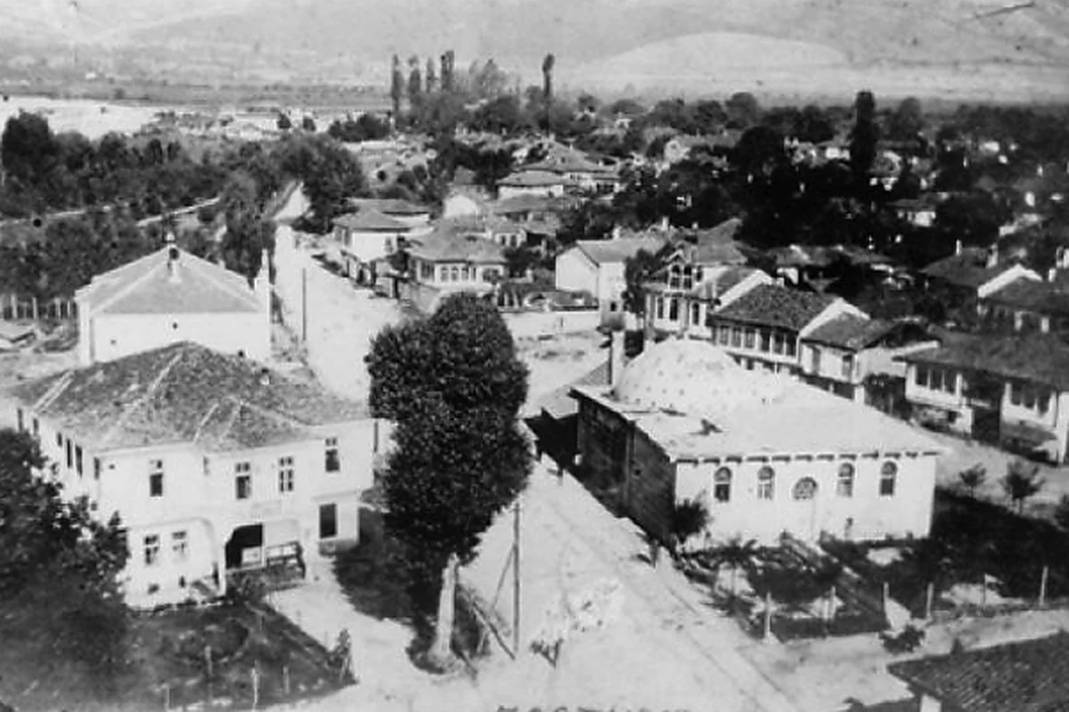
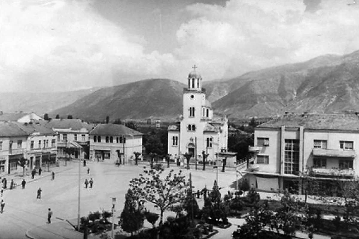
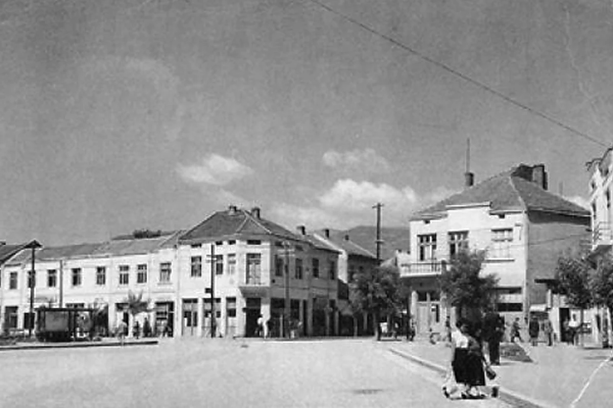
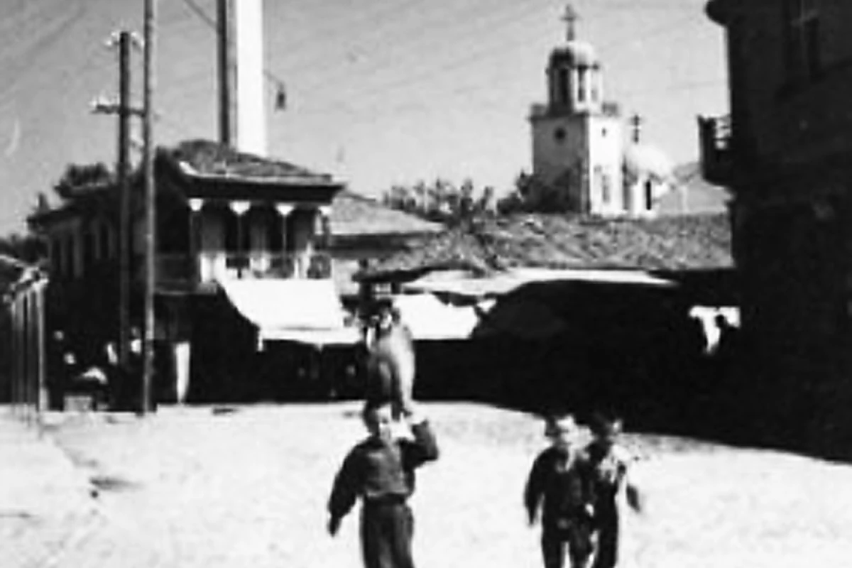
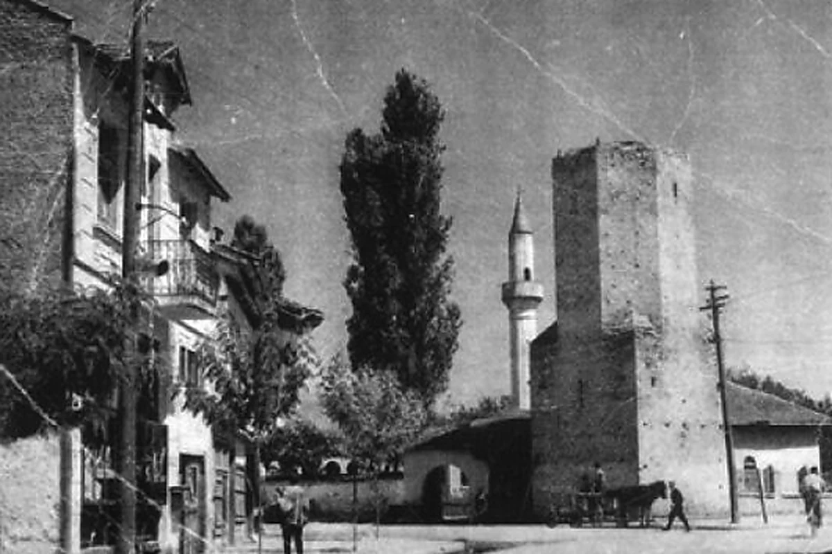
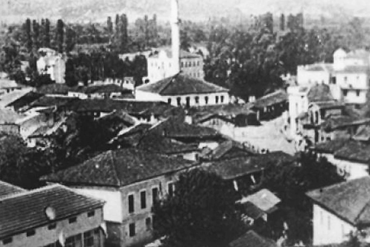
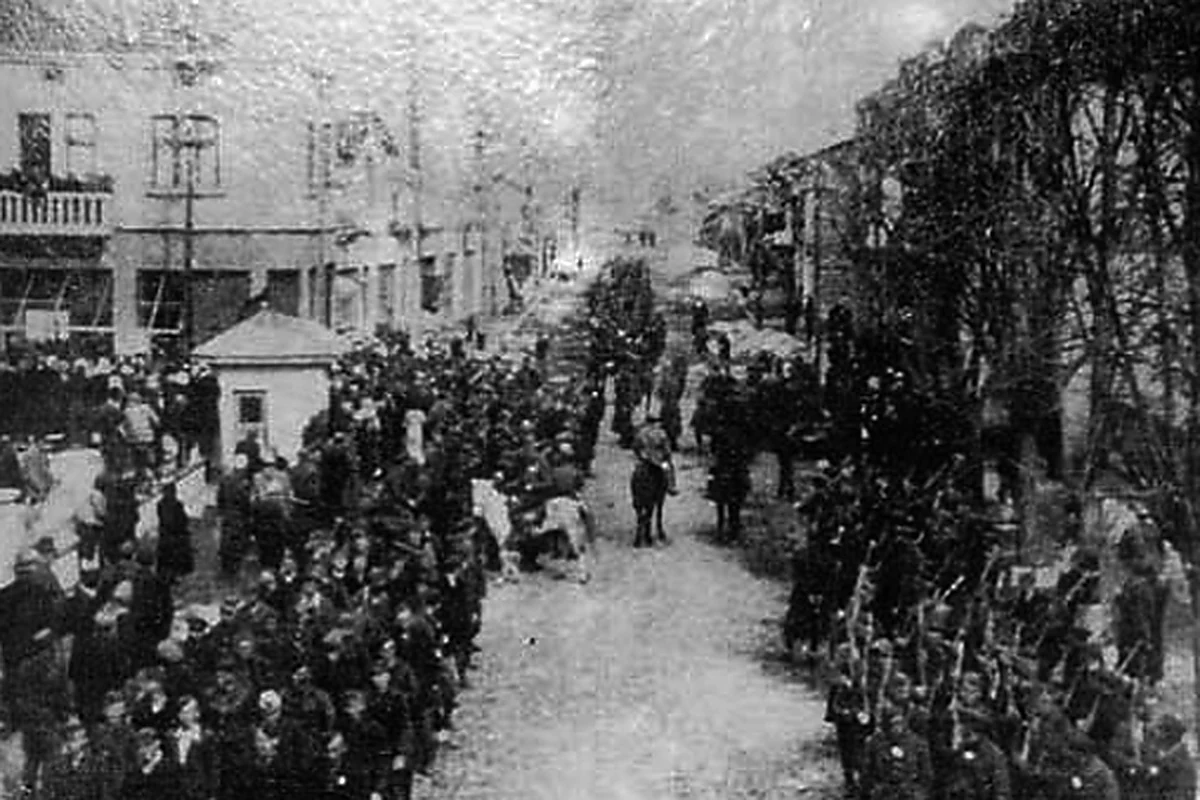
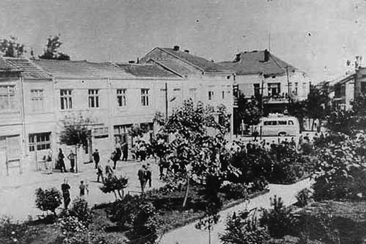
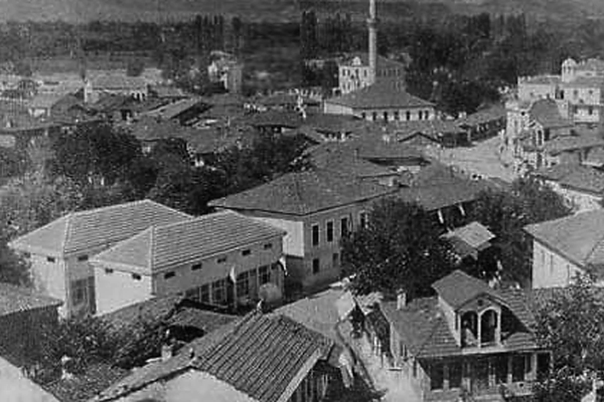
Photo Gallery (35)
Photo Gallery
Gostivar, frame by frame.
A responsive family gallery, including city views recovered from the old rotating banner system.
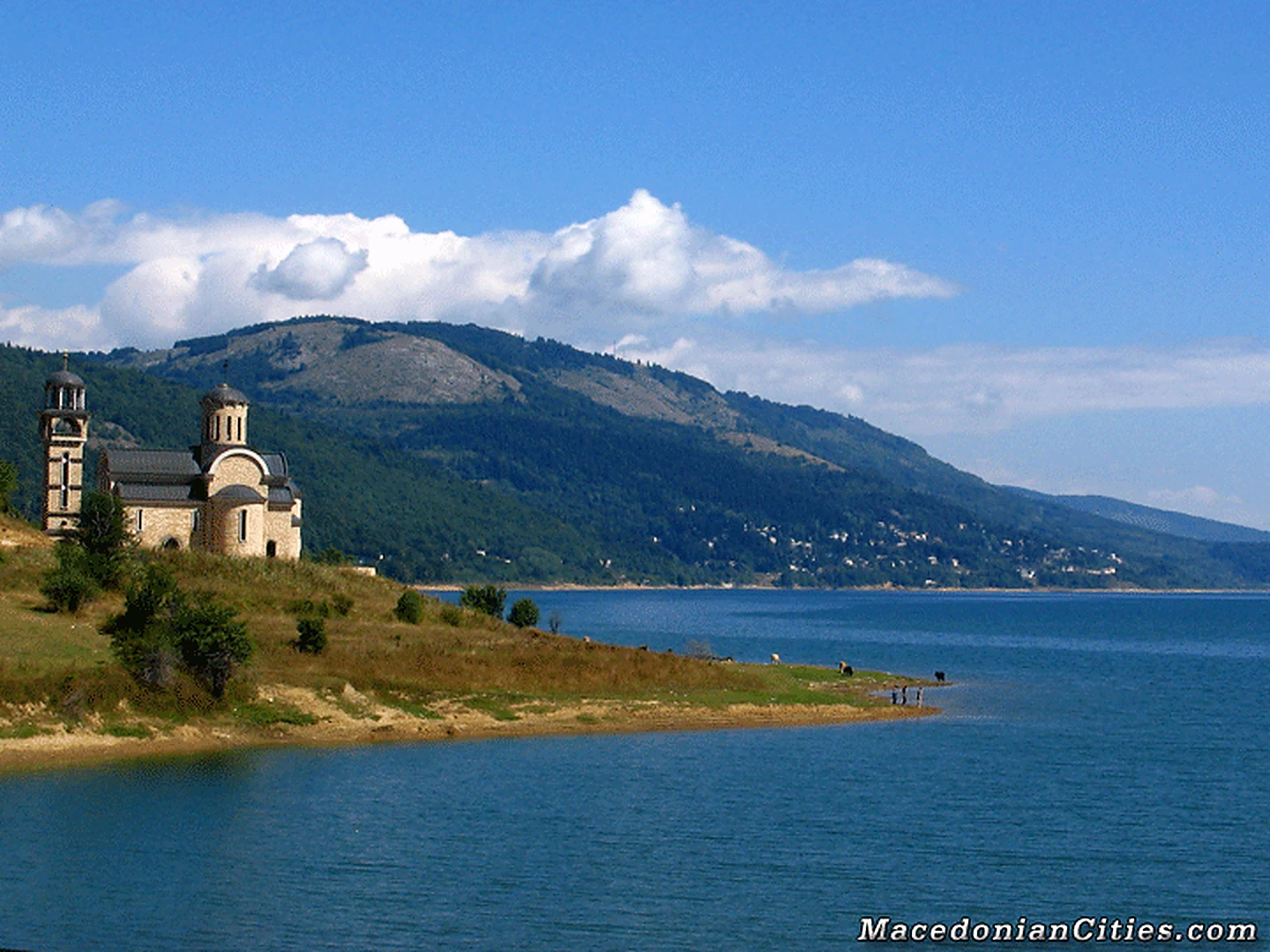
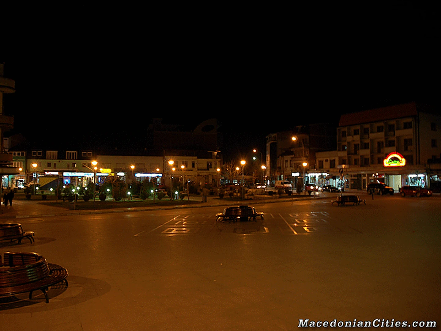
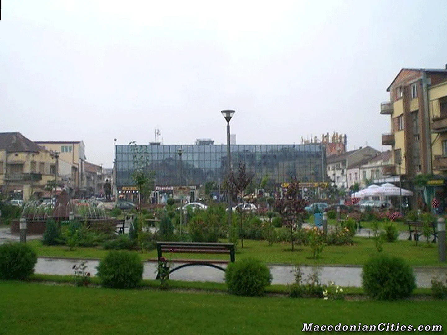
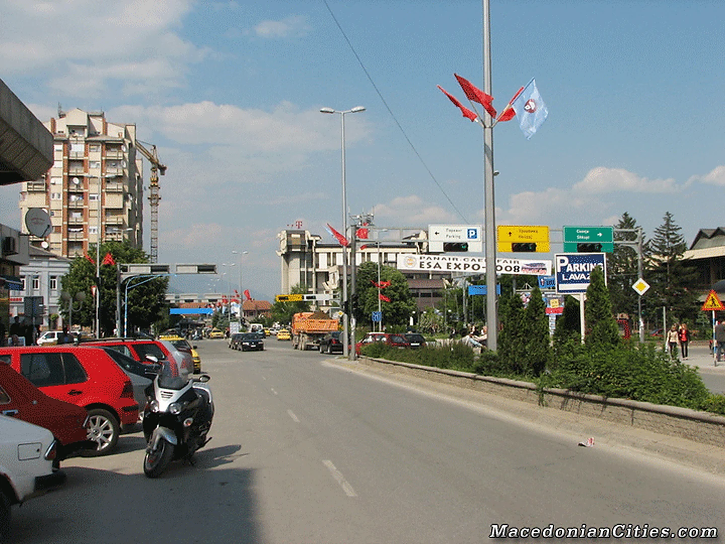
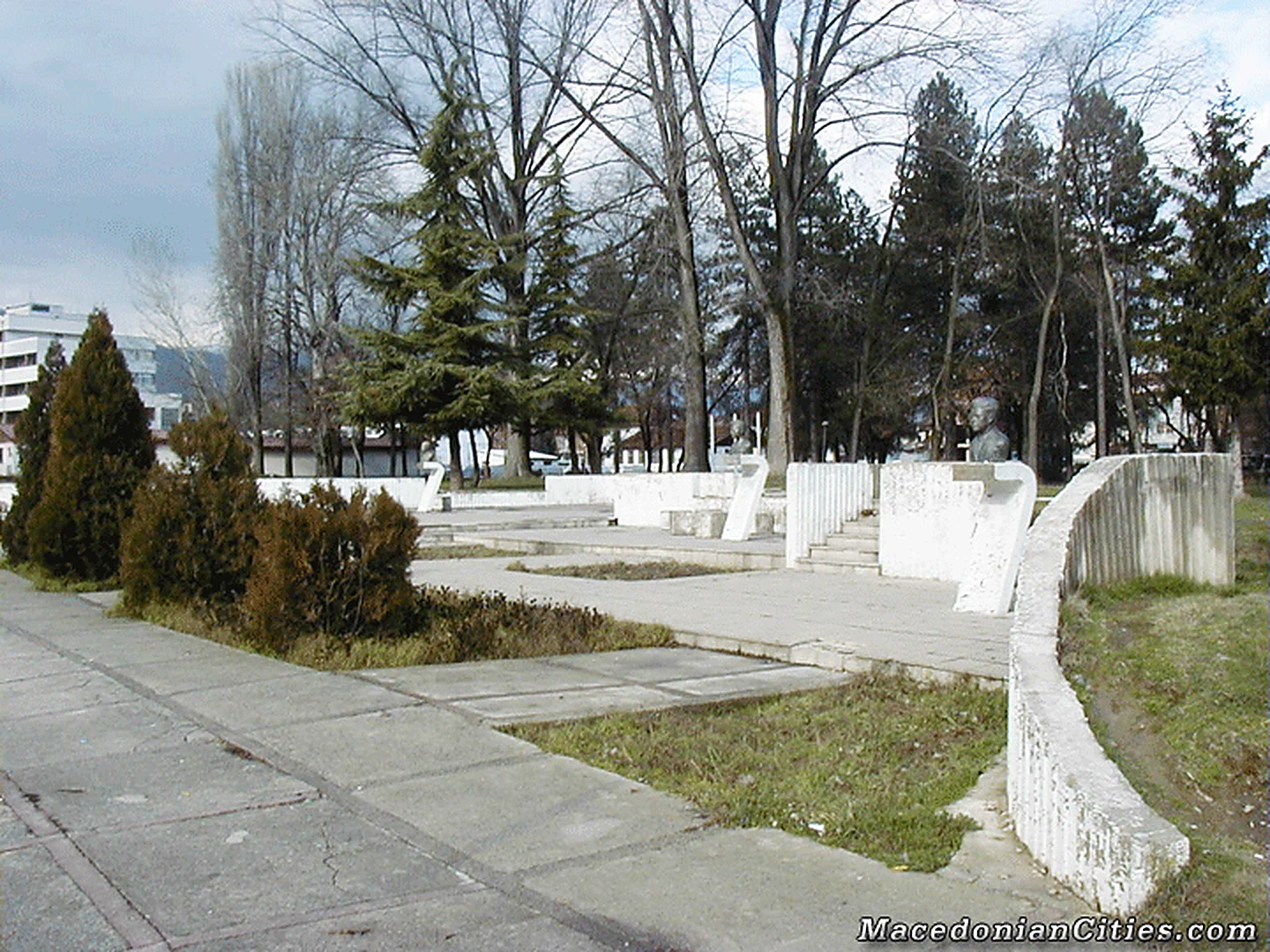
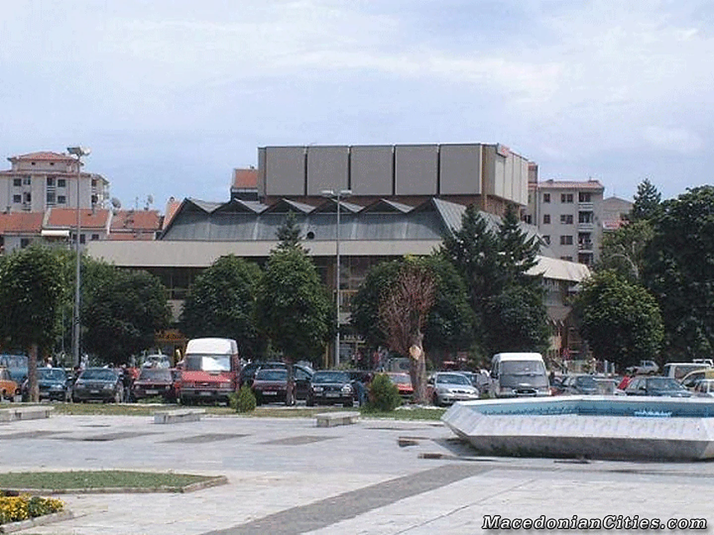
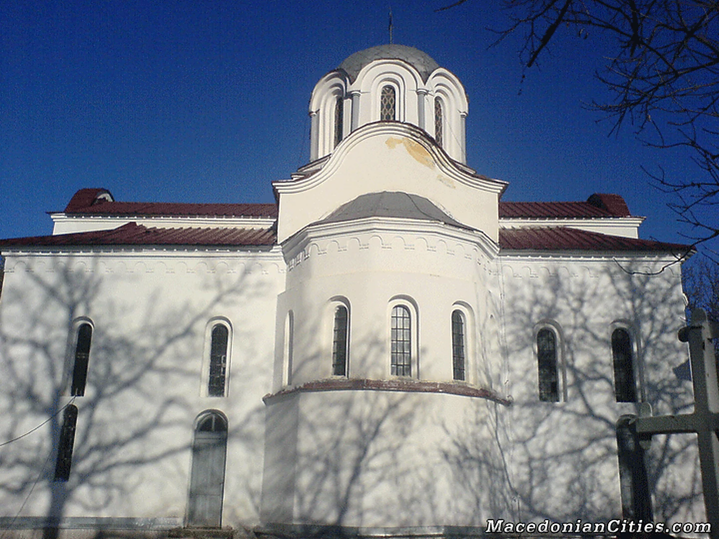
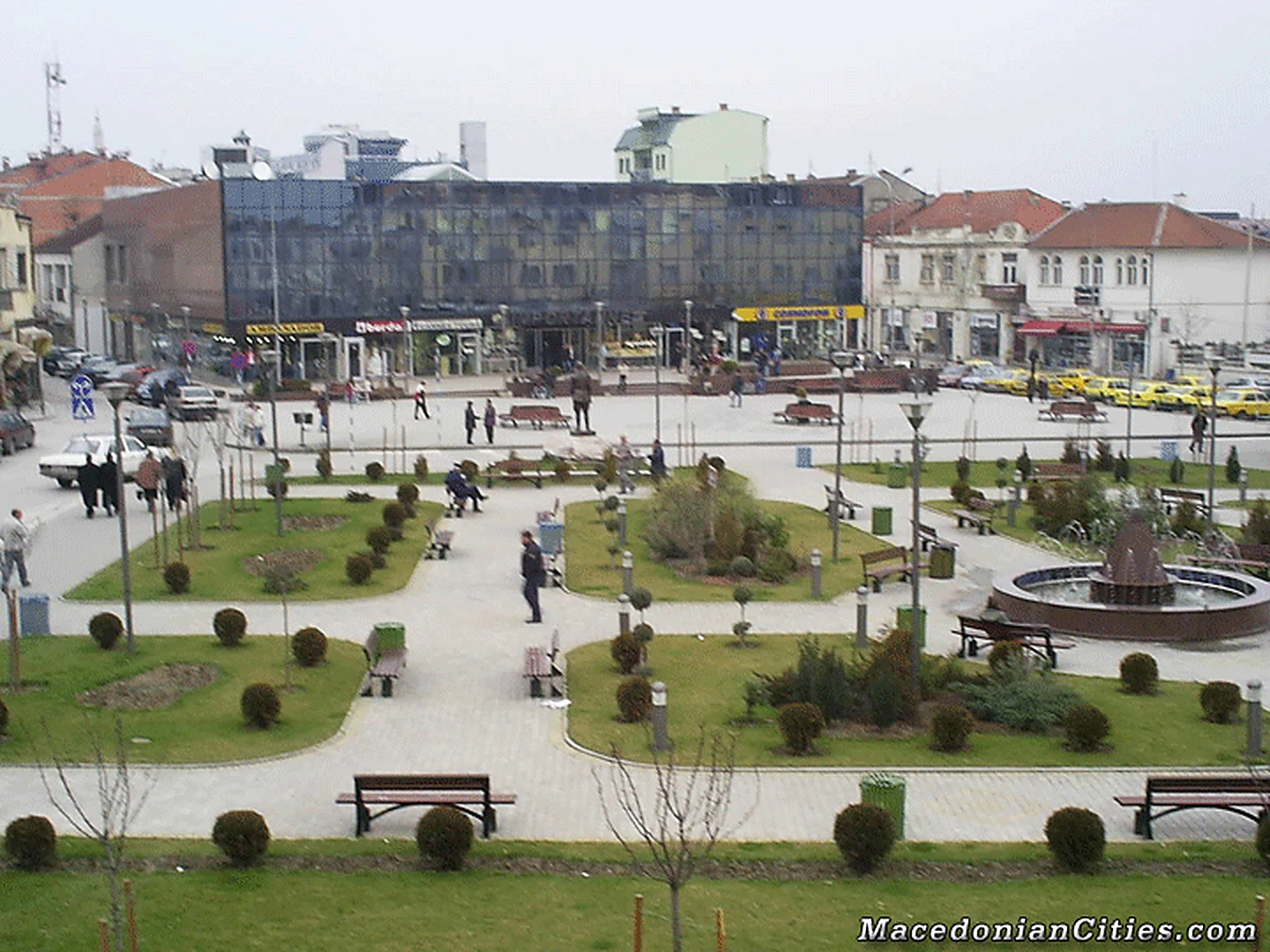
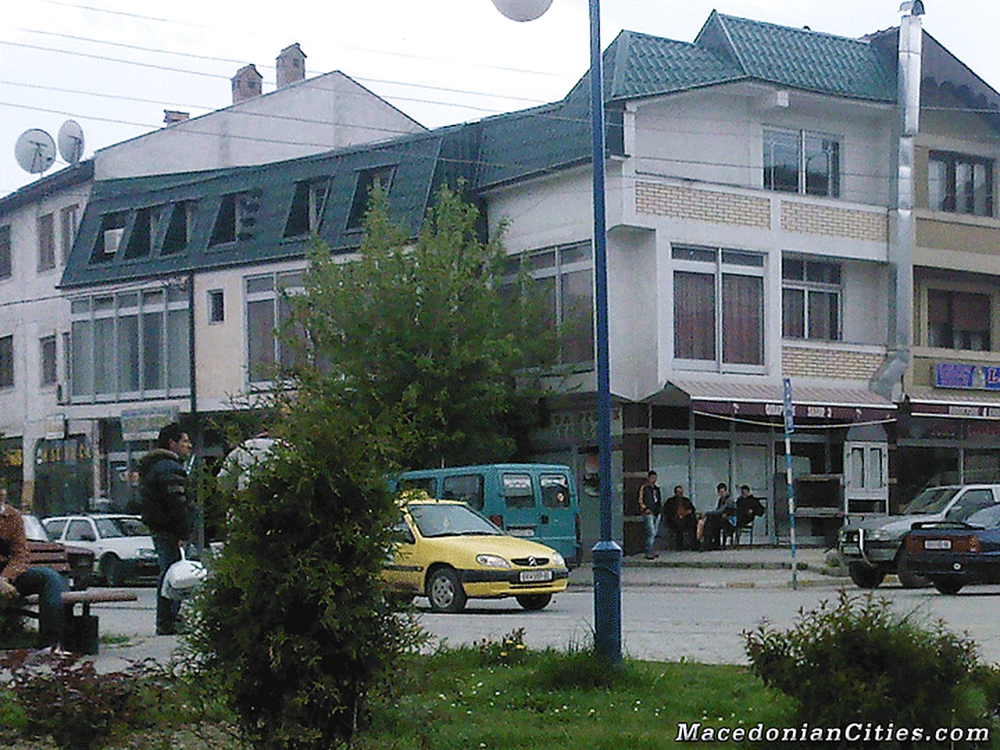
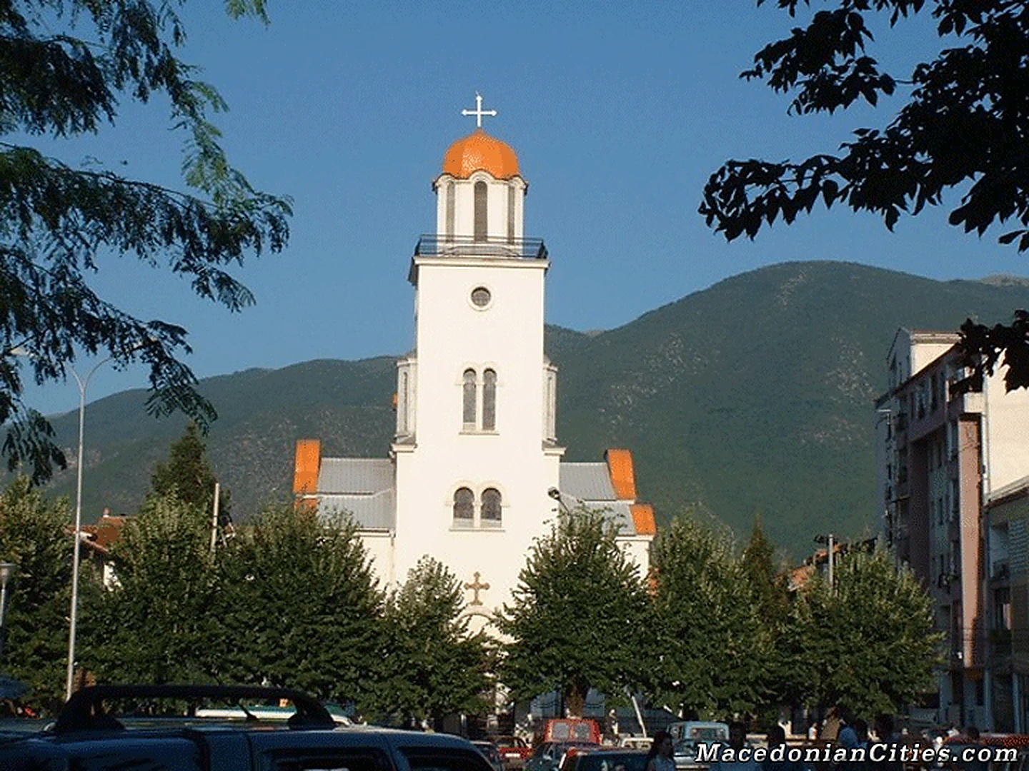
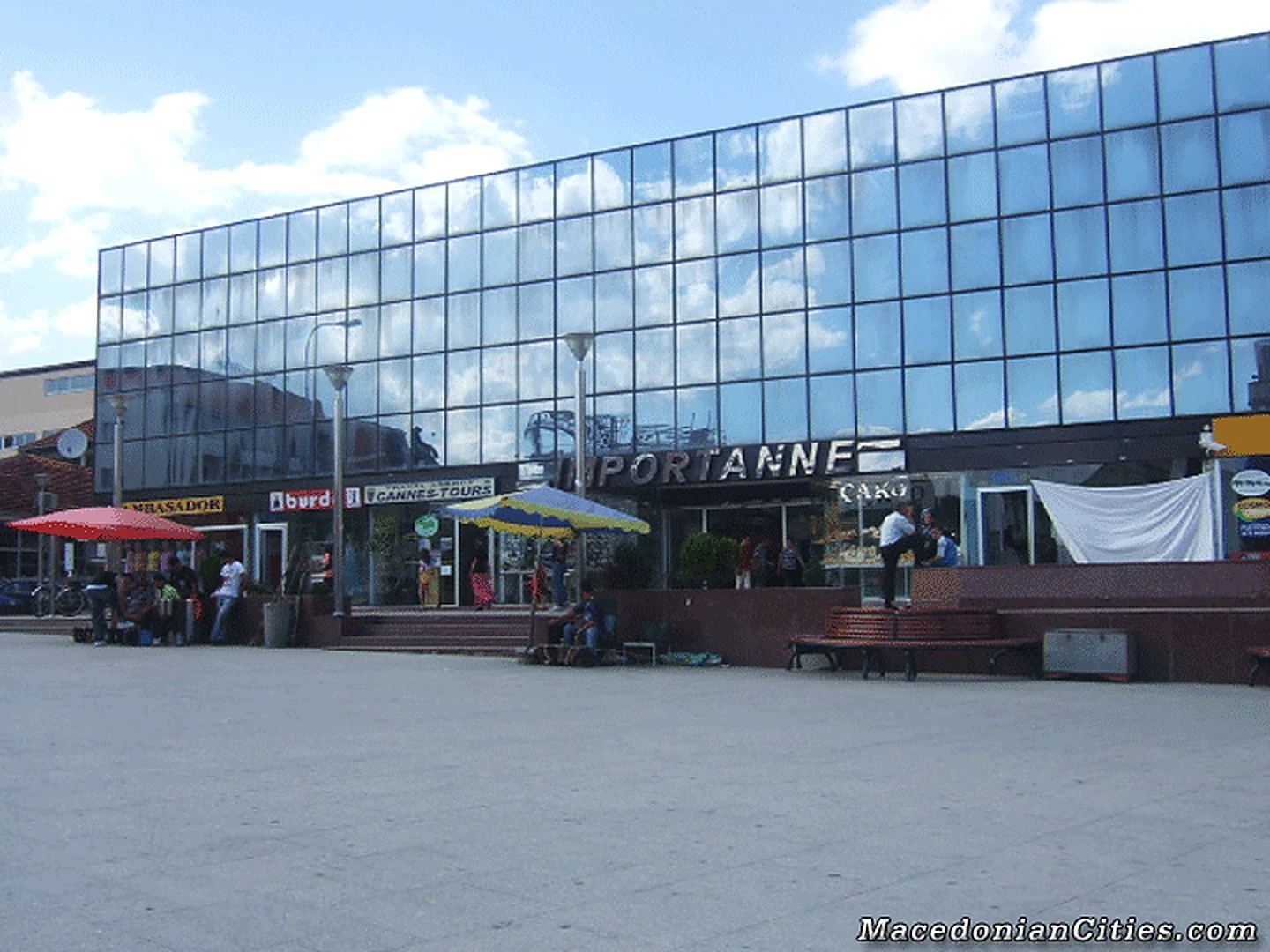
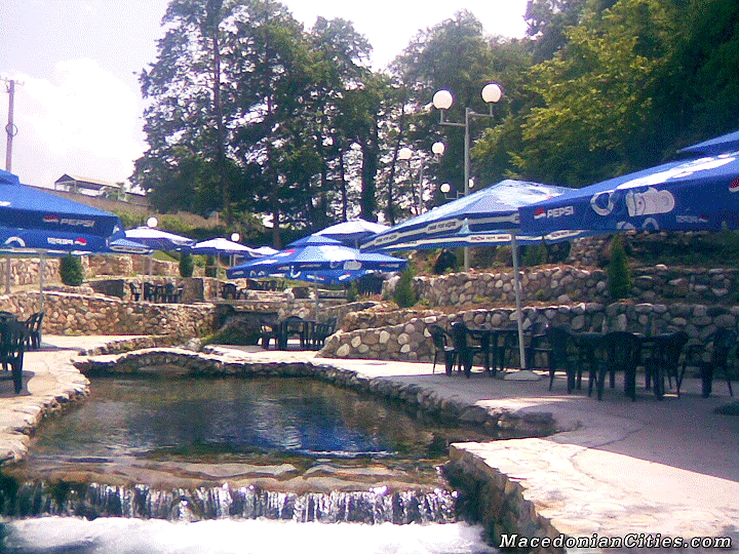
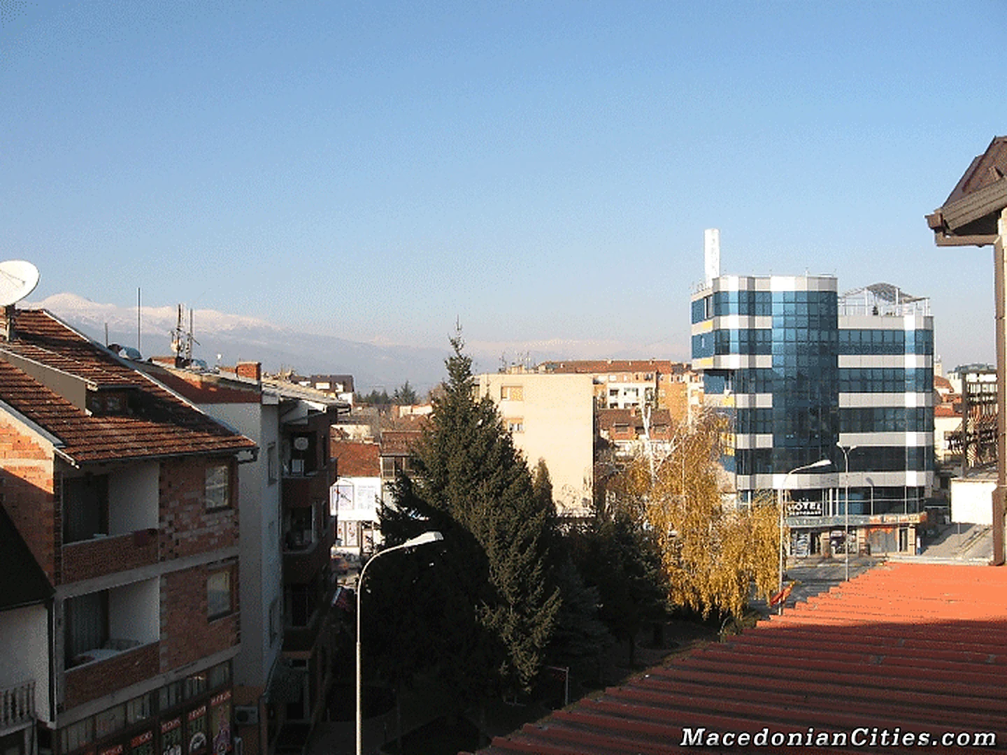
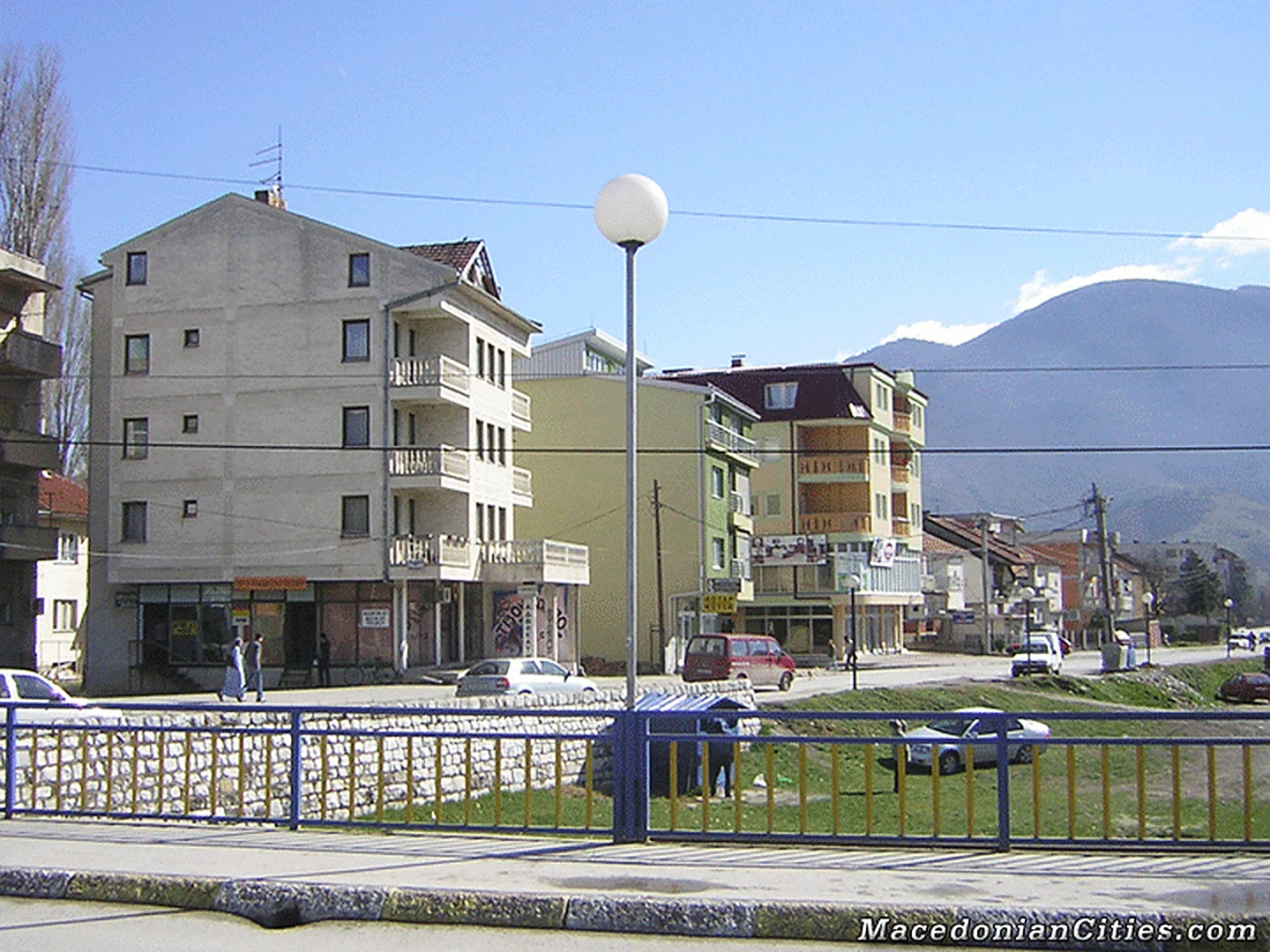
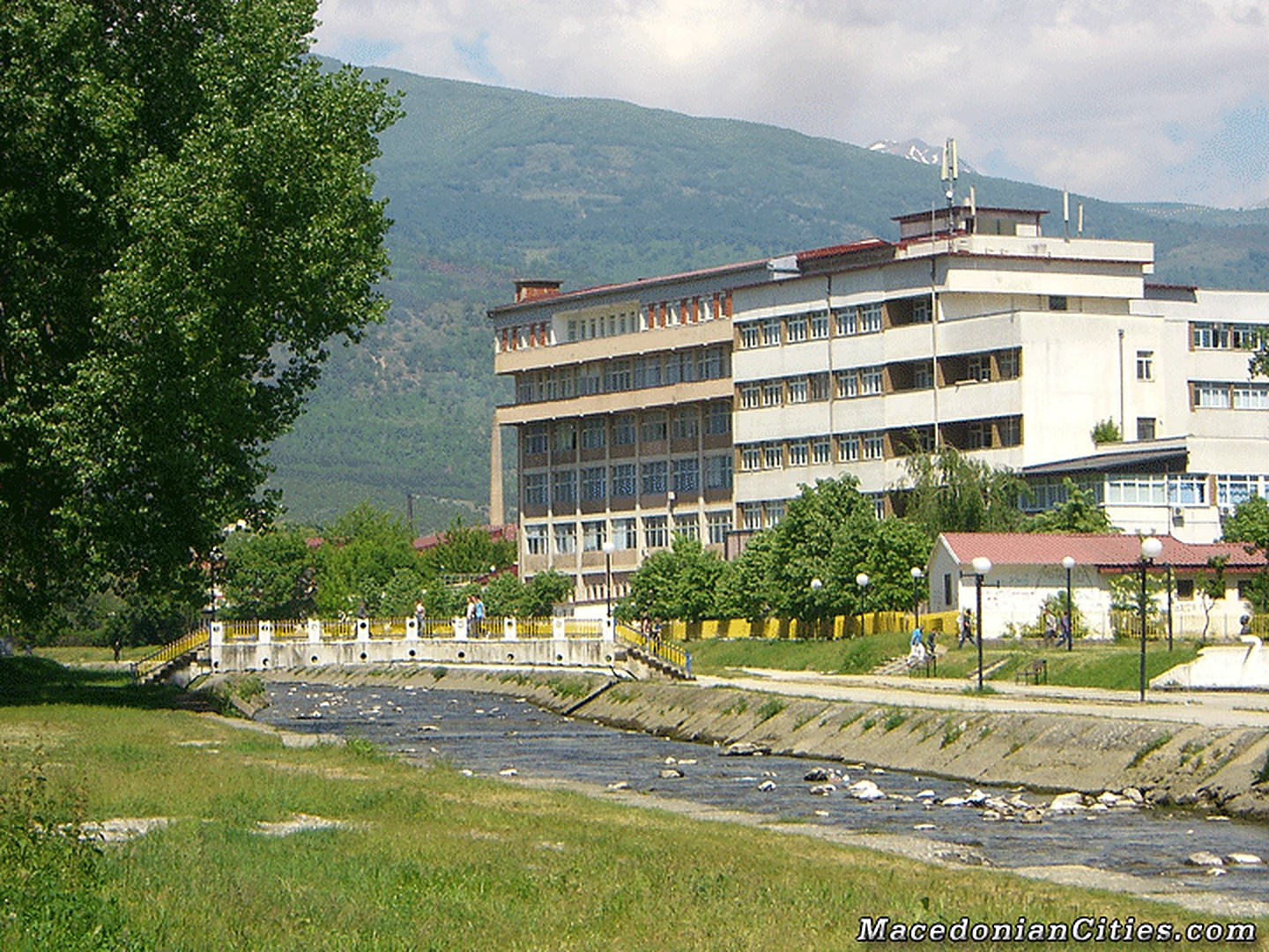
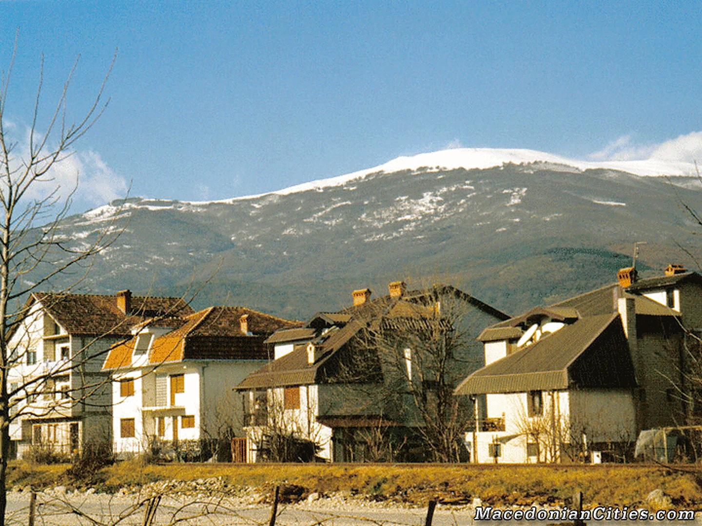
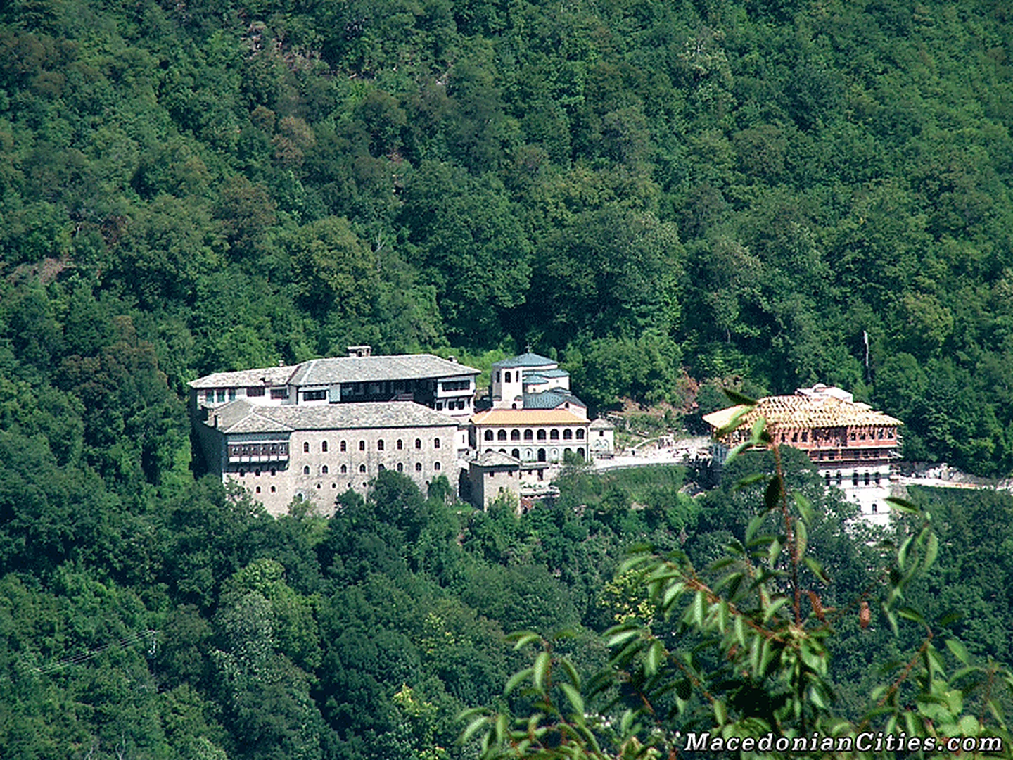
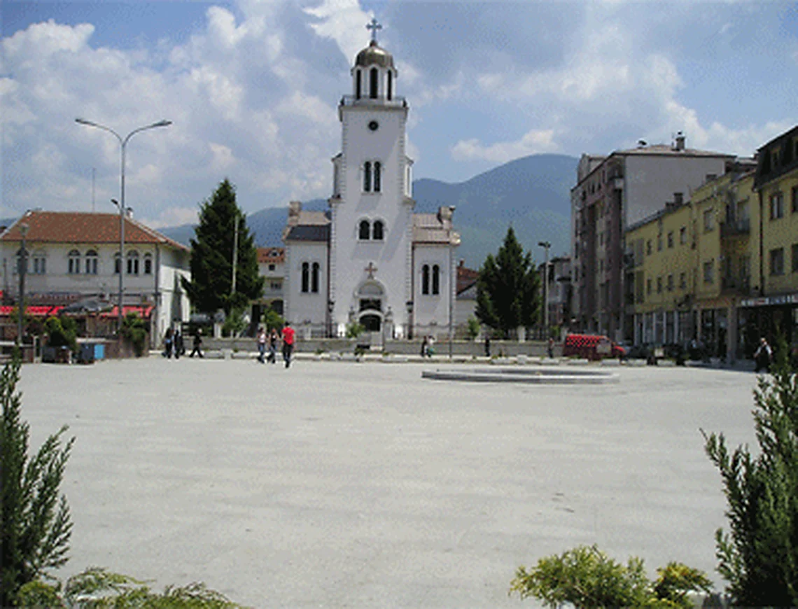
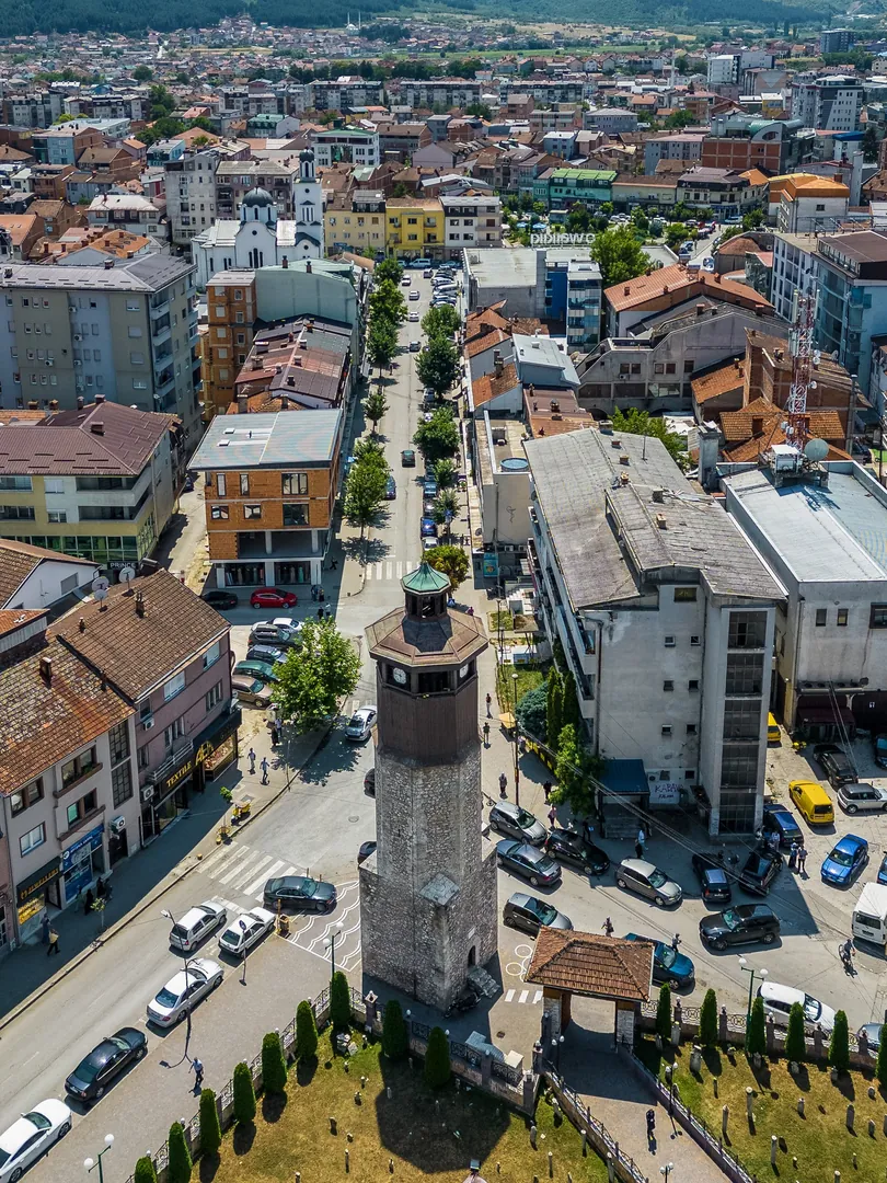
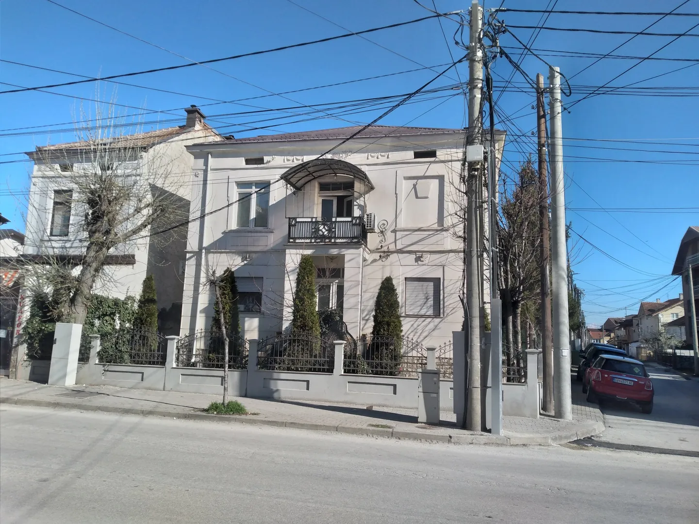
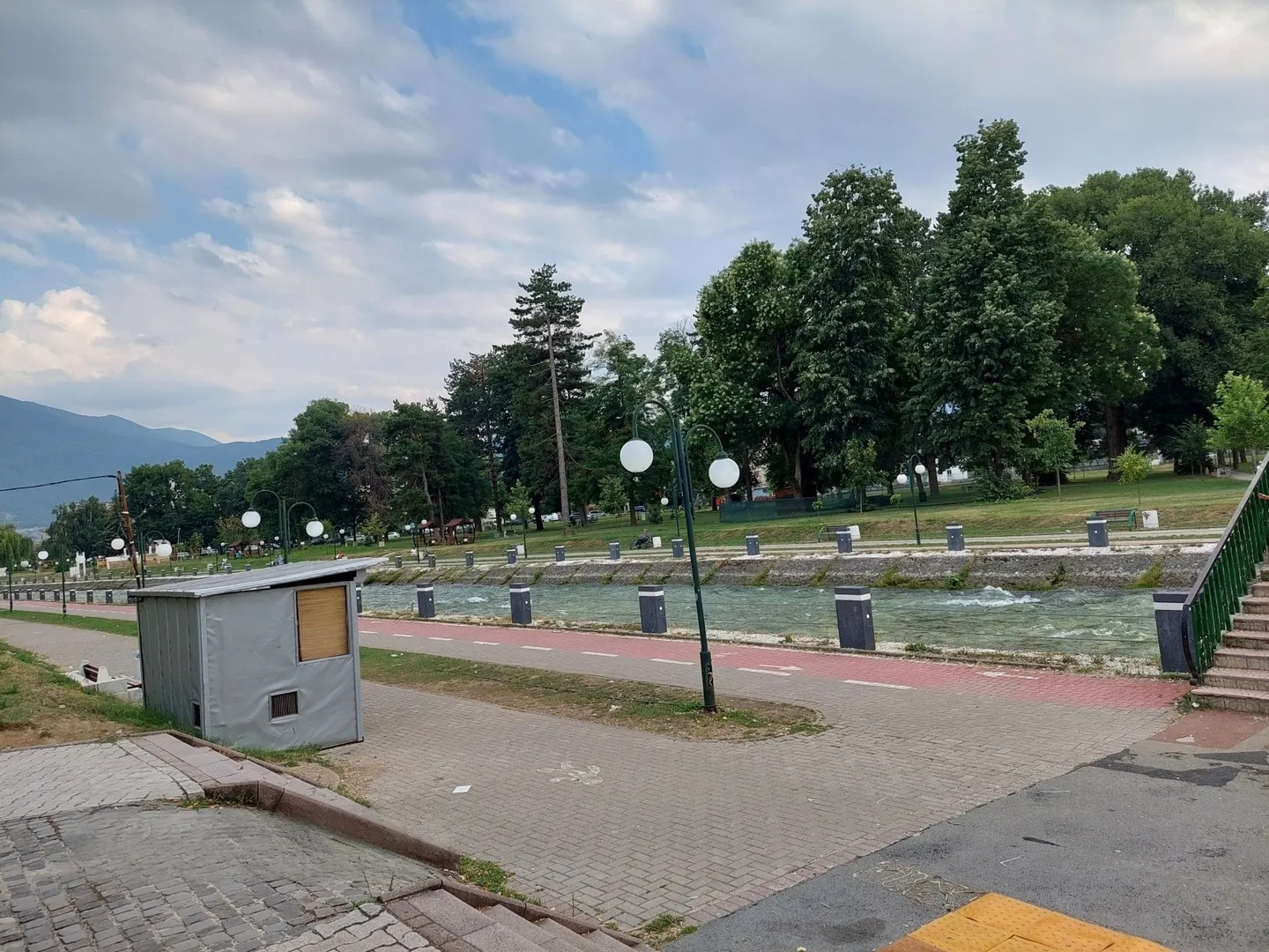
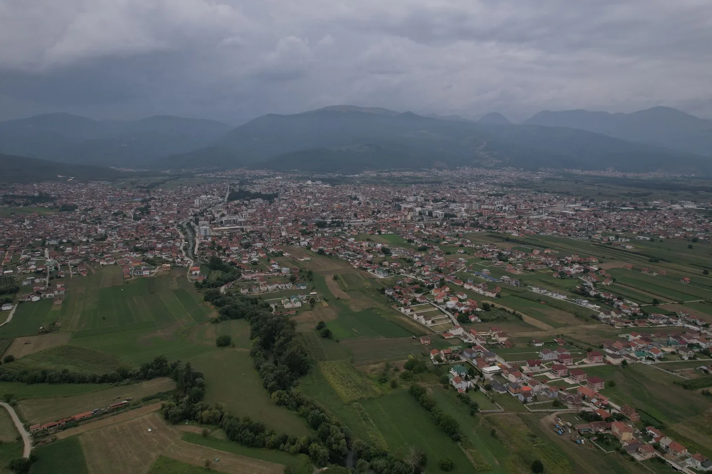
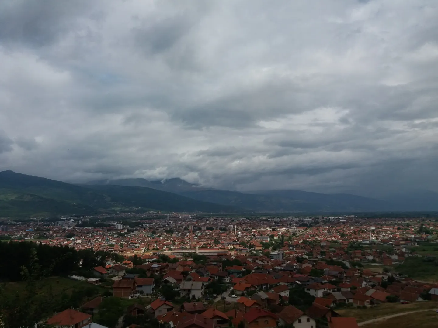
Photo credits
- Gostivar: a clock tower seen from above, standing at the edge of a busy street between town blocks. Photo: Meri BoshkoskaCC BY-SA 4.0Wikimedia Commons
- Gostivar: old town architecture, a pale two-storey house with a balcony behind a low railed wall. Photo: Dead 21 dreamsCC0Wikimedia Commons
- Gostivar: the City Park and the Vardar river, with a paved riverside path and tall trees. Photo: Leni La RosaCC BY-SA 4.0Wikimedia Commons
- Gostivar: a view across the town and green fields to a mountain range under heavy cloud. Photo: Dean LazarevskiCC BY-SA 4.0Wikimedia Commons
- Gostivar: a panorama of red rooftops on a wide plain below cloudy mountains, taken from a church. Photo: Vladimir.grujeskiCC BY-SA 4.0Wikimedia Commons


